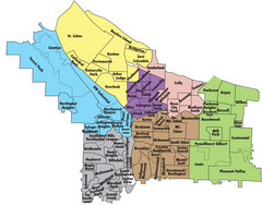
Portland, Oregon Neighborhood Map
90 miles away
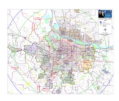
Portland, Oregon Tourist Map
90 miles away
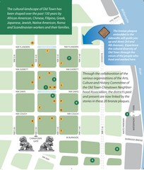
Old Town-China Town Map
Portland's oldest neighborhoods and history are easily seen in Old Town-China Town.
90 miles away
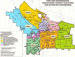
Portland Neighborhood Map
Shows neighborhood associations of Portland, Oregon.
90 miles away
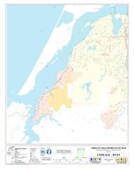
West Coos Bay Oregon Road Map
91 miles away

Happy Valley Oregon Road Map
92 miles away
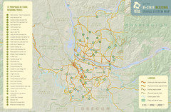
Bi-State Regional Trail System Plan Map
Shows plan for developing 37 Bi-State Regional Trails
92 miles away
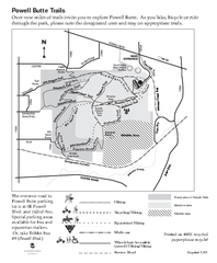
Powell Butte Nature Park Trail Map
Trail map of Powell Butte Nature Park. Shows over 9 miles of trails
95 miles away
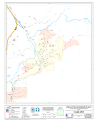
Oakland Oregon Road Map
95 miles away
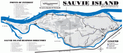
Sauvie Island tourist map
Tourist map of Sauvie Island in Oregon. Shows all businesses and points of interest.
95 miles away

Maywood Park Oregon Road Map
95 miles away
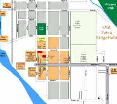
Guide Map of Old Town Ridgefield
Guide Map of Old Town Ridgefield, Washington
102 miles away
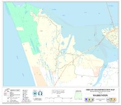
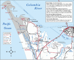
Warrenton Oregon Road Map
103 miles away
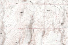
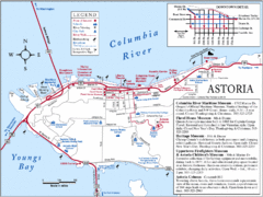
Astoria Oregon Map
A detailed topographic map of Astoria, Oregon and the Columbia River.
105 miles away
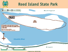
Reed Island State Park Map
Map of park with detail of trails and recreation zones
105 miles away
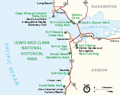
Lewis & Clark National Historic Trail...
Official NPS map of Lewis & Clark National Historic Trail in Oregon-Washington. Shows all areas...
109 miles away
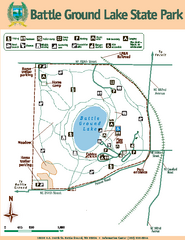
Battle Ground Lake State Park Map
Map of park with detail of trails and recreation zones
109 miles away
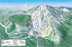
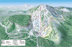
Hoodoo Mountain Ski Trail Map
Ski trail map of Hoodoo Mountain ski area.
110 miles away
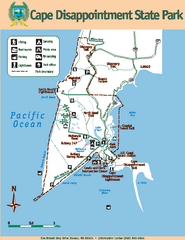
Cape Dissapointment State Park Map
Map of park with detail of trails and recreation zones
111 miles away
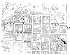
Myrtle Point walking tour Map
Walking tour map of the Historic homes of Myrtle Point in the Coquille Valley of Oregon.
112 miles away
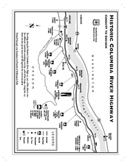
Historic Columbia River Highway Map
Official map from the US Forest Service. Shows the Corbett to Dodson stretch of Highway 30 with...
114 miles away
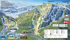
Mt. Hood Skibowl Ski Trail Map
Official ski trail map of ski area from the 2007-2008 season.
120 miles away

Mt. Hood SkiBowl Ski Trail Map
Trail map from Mt. Hood SkiBowl.
121 miles away
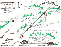
Summit Ski Area Ski Trail Map
Trail map from Summit Ski Area.
121 miles away
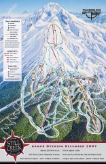
Timberline Ski Trail Map
Official ski trail map of Timberline Lodge ski area from the 2007-2008 season.
124 miles away
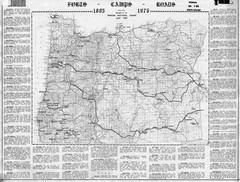
Oregon Military Map
Detailed guide to military forts, camps and roads on teh western Oregon coast
124 miles away

Timberline Ski Area Ski Trail Map
Trail map from Timberline Ski Area.
124 miles away
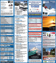
Mt. Hood Meadows Ski Resort Ski Trail Map
Trail map from Mt. Hood Meadows Ski Resort.
126 miles away
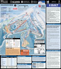
Mt. Hood Meadows Ski Trail Map
Official ski trail map of Mt. Hood Meadows ski area from the 2007-2008 season.
126 miles away
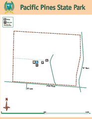
Pacific Pines State Park Map
Map of park with detail of trails and recreation zones
126 miles away
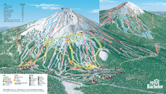
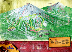
Mt. Bachelor Ski Trail map
Official ski trail map of Mount Bachelor ski area from the 2006-2007 season.
127 miles away
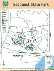
Seaquest State Park Map
Map of park with detail of trails and recreation zones
127 miles away
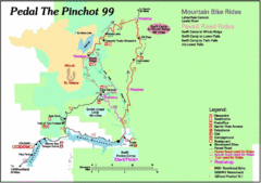
Pedal the Pinchot Bike Ride Route Map
Route Map for the Pedal the Pinchot 99 bike ride - annotated on a Park trail map.
128 miles away
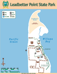
Leadbetter Point State Park Map
Map of park with detail of recreation zones and trails
134 miles away
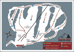
Cooper Spur Ski Area Ski Trail Map
Trail map from Cooper Spur Ski Area.
134 miles away


