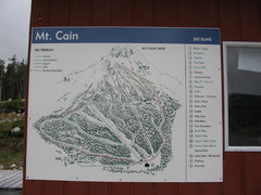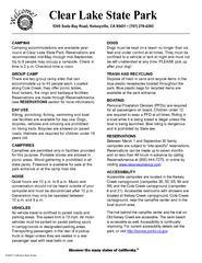
Clear Lake State Park Campground Map
Map of park with detail of trails and recreation zones
397 miles away
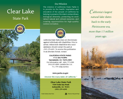
Clear Lake State Park Map
Map of park with detail of trails and recreation zones
397 miles away
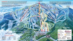
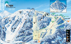
49 Degrees North Ski Trail Map
Official ski trail map of ski area from the 2007-2008 season.
398 miles away
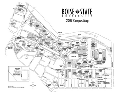
Boise State University Map
Boise State University Campus Map. All areas shown.
398 miles away
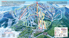
49 North Mountain Resort Ski Trail Map
Trail map from 49 North Mountain Resort, which provides downhill, night, nordic, and terrain park...
398 miles away
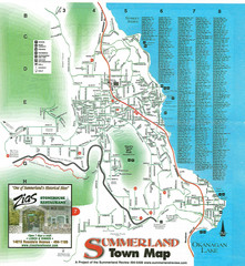
Summerland Town Map
Map of Summerland with details on outdoor-recreation locations and streets
399 miles away
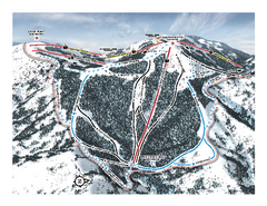
Bogus Basin Pine Creek Ski Trail Map
Trail map from Bogus Basin, which provides downhill, night, nordic, and terrain park skiing. It has...
400 miles away
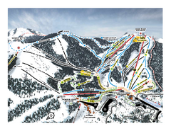
Bogus Basin Frontside Ski Trail Map
Trail map from Bogus Basin, which provides downhill, night, nordic, and terrain park skiing. It has...
400 miles away
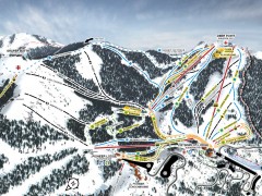
Bogus Basin Ski Trail Map - Front
Official ski trail map of frontside of Bogus Basin ski area from the 2007-2008 season.
400 miles away
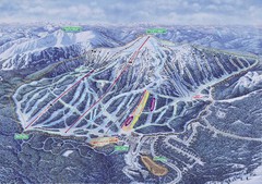
Apex Mountain Ski Resort Map
Apex Mountain Trail Map, Lifts and Elevations
400 miles away
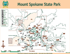
Mount Spokane State Park Map
Map of park with detail of trails and recreation zones
401 miles away
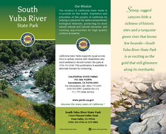
South Yuba River State Park Map
Map of park with detail of trails and recreation zones
401 miles away
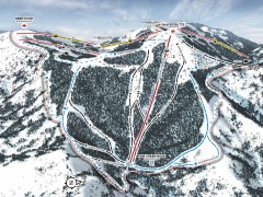
Bogus Basin Ski Trail Map - Pine Creek
Official ski trail map of Pine Creek area of Bogus Basinski area from the 2007-2008 season.
401 miles away
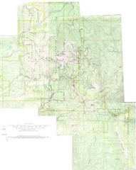
Mount Spokane Trail Map
Contour map of Mount Spokane
401 miles away

Phoenix Mountain Ski Trail Map
Trail map from Phoenix Mountain.
401 miles away
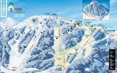
Mt. Spokane Ski Trail Map
Official ski trail map of Mount Spokane ski area from the 2006-2007 season.
401 miles away
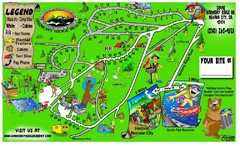
Harmony Ridge Resort Map
405 miles away
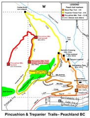
Peachland Walks Map
Guide to Pincushion and Trepanier Trails in Peachland, BC
408 miles away
Nevada County Economic Resource Council Activity...
The ERC supports many different businesses in western Nevada County. We provide business assistance...
408 miles away
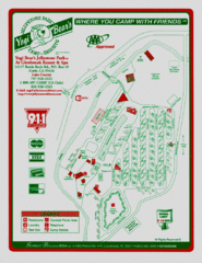
Jellystone Park at Glebrook Resort & Spa Map
409 miles away
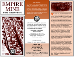
Empire Mine State Historic Park Map
Map of park with detail of trails and recreation zones
409 miles away
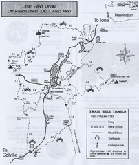
Little Pend Oreille Off Road Vehicle (ORV) Area...
Map of the Off Road Vehicle Area in Little Pend Oreille, Washington. Includes all bike trails...
409 miles away
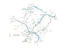
Pemberton Valley Area Parks Map
Area parks map of Pemberton Valley area in BC. Shows peaks and lakes.
410 miles away
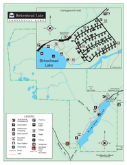
Birkenhead Lake Provincial Park Map
Park map of Birkenhead Lake Provincial Park, BC. Inset of campground
411 miles away
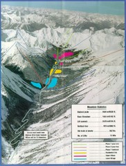
Cayoosh Resort (Melvin Creek) Ski Trail Map
Trail map from Cayoosh Resort (Melvin Creek), which provides downhill skiing.
411 miles away
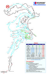
Telemark Cross Country Ski Trail Map
Trail map from Telemark Cross Country, which provides nordic skiing. This ski area has its own...
413 miles away
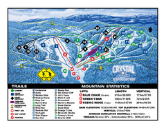
Crystal Mountain Resort Ski Trail Map
Trail map from Crystal Mountain Resort, which provides downhill skiing. This ski area has its own...
414 miles away
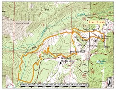
Sky Tavern XC Route Map
Topo map of the XC course for the cycling event.
415 miles away
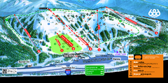
Boreal Mountain Resort Ski Trail Map
Trail map from Boreal Mountain Resort, which provides downhill, night, and terrain park skiing. It...
416 miles away
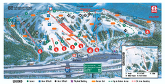
Boreal Ski Trail Map
Official ski trail map of Boreal ski area
416 miles away
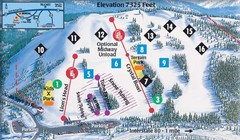
Soda Springs Ski Trail Map
Trail map from Soda Springs, which provides downhill and terrain park skiing. It has 2 lifts...
416 miles away
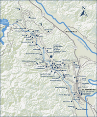
Dry Creek Valley Wineries, California Map
Map of wineries in Dry Creek Valley, California. Shows wineries and roads.
417 miles away

Tahoe Donner Ski Trail Map
Trail map from Tahoe Donner, which provides downhill, night, and nordic skiing. It has 3 lifts...
417 miles away
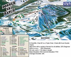
Donner Ski Ranch Ski Trail Map
Trail map from Donner Ski Ranch, which provides downhill and terrain park skiing. It has 6 lifts...
417 miles away

Reno Tahoe Tourist Map
417 miles away

Reno, Nevada City Map
417 miles away
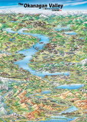
Pictorial map of the Okanagan Valley
418 miles away
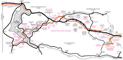
Trail of the Coeur d'Alenes Map
Shows the Trail of the Coeur d'Alenes, a 72 mile bike path that follows the Union Pacific...
418 miles away

