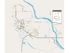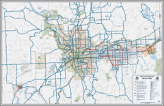
Spokane, Washington Bike Map
379 miles away
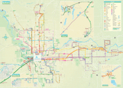
Spokane Guide Map
Roads and areas in and around Spokane, Washington
379 miles away
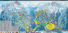
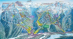
Whistler Blackcomb Ski Resort Map
Ski runs, lifts and amenities on the resort map
380 miles away
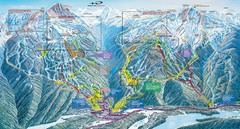
Whistler Blackcomb Trail Map
380 miles away
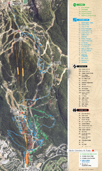
Whistler Blackcomb (Garibaldi Lift Co.) Biking...
Trail map from Whistler Blackcomb (Garibaldi Lift Co.), which provides downhill, night, and terrain...
380 miles away
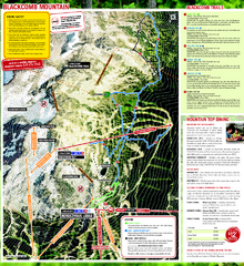
Whistler Blackcomb (Garibaldi Lift Co.) Hiking...
Trail map from Whistler Blackcomb (Garibaldi Lift Co.), which provides downhill, night, and terrain...
380 miles away
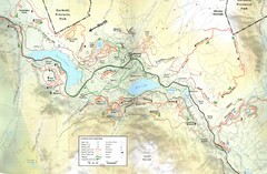
Whistler, CA Hiking and Biking Trails Map
380 miles away
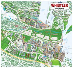
Whistler Village Map
380 miles away
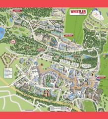
Whistler Village Map
380 miles away
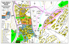
Whistler Village Map
380 miles away
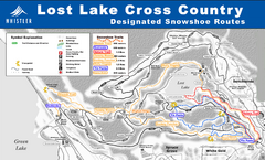
Whistler Cross Country Connection Snowshoeing Ski...
Trail map from Whistler Cross Country Connection.
380 miles away
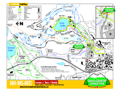
Whistler Cross Country Connection 2006–07...
Trail map from Whistler Cross Country Connection.
380 miles away
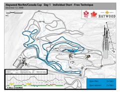
Whistler Olympic Park (Callaghan Nordic Centre...
Trail map from Whistler Olympic Park (Callaghan Nordic Centre), which provides night and nordic...
380 miles away
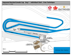
Whistler Olympic Park (Callaghan Nordic Centre...
Trail map from Whistler Olympic Park (Callaghan Nordic Centre), which provides night and nordic...
380 miles away
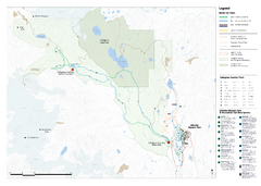
Callaghan Country Nordic Ski Trail Map
Trail map from Callaghan Country, which provides nordic skiing. This ski area opened in 1998, and...
380 miles away
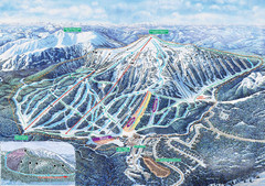
Apex Mountain Ski Trail Map
Official ski trail map of Apex Mountain ski area
380 miles away
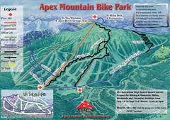
Apex Mountain Resort Biking Ski Trail Map
Trail map from Apex Mountain Resort, which provides downhill and terrain park skiing. It has 5...
381 miles away
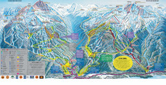
Trail Map Whistler Blackcomb
Map of all trails and ski runs at Whistler and Blackcomb mountains. Includes detailed information...
381 miles away
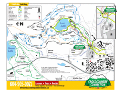
Lost Lake, Whistler Hiking and Biking Trail Map
381 miles away
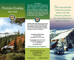
Plumas-Eureka State Park Map
Map of park with detail of trails and recreation zones
381 miles away
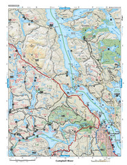
Campbell River Area Map
Vancouver Island, Victoria & Gulf Islands
382 miles away
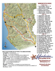
Mendocino Beer and Wine Tasting Map
Beer and wine tasting map of Mendocino county, California. Show breweries and wineries on the...
383 miles away
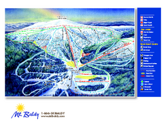
Mt. Baldy Family Ski Area Ski Trail Map
Trail map from Mt. Baldy Family Ski Area.
385 miles away
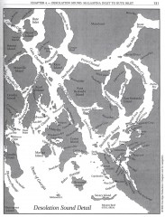
Desolation Sound Detail Map
Shows general geography of Desolation Sound from Malaspina Inlet to Bute Inlet. Shows Cortes Bay...
385 miles away
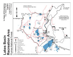
Lakes Basin Recreation Area Trail Map
Trail map of Lakes Basin Recreation Area in Plumas National Forest near Graeagle, California...
386 miles away
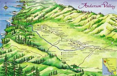
Anderson Valley Wine Map
Shows wineries/vineyards in Anderson Valley, California along Route 128 from Navarro, California to...
389 miles away
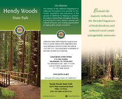
Hendy Woods State Park Map
Map of park with detail of trails and recreation zones
389 miles away
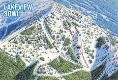
Brundage Mountain Resort Lakeview Bowl Ski Trail...
Trail map from Brundage Mountain Resort, which provides downhill and terrain park skiing. It has 5...
389 miles away
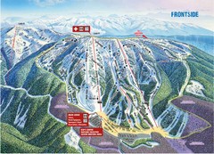
Brundage Mountain Resort Frontside Ski Trail Map
Trail map from Brundage Mountain Resort, which provides downhill and terrain park skiing. It has 5...
389 miles away
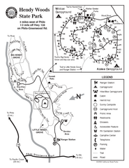
Hendy Woods State Park Map
Park map of Hendy Woods State Park in Philo, California. Shows trails, campgrounds, and other...
389 miles away
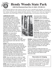
Hendy Woods State Park Campground Map
Map of campground region park with detail of trails and recreation zones
389 miles away
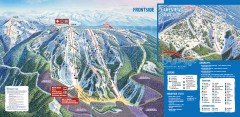
Brundage Ski Trail Map
Official ski trail map of Brundage ski area from the 2007-2008 season.
389 miles away
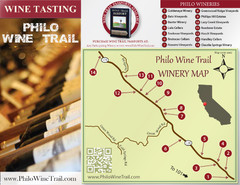
Philo Wine Map
Shows wineries great for wine tasting in the Anderson Valley along Route 128 in Philo California.
389 miles away
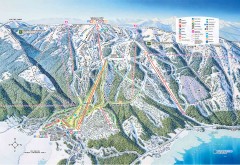
Tamarack Ski Trail Map
Official ski trail map of Tamarack ski area from the 2007-2008 season.
390 miles away

Kettle Valley Trails Map
Map of Kettle Valley Trails. Includes all trails, streets, and attractions.
391 miles away
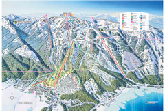
Tamarack Resort Ski Trail Map
Trail map from Tamarack Resort, which provides downhill, nordic, and terrain park skiing. It has 7...
391 miles away
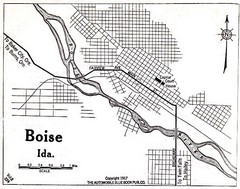
Boise Idaho 1917 Map
395 miles away
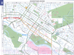
Boise, Idaho Downtown Map
Map of the downtown area of Boise, Idaho includes all streets, parks and the Boise State University.
397 miles away

