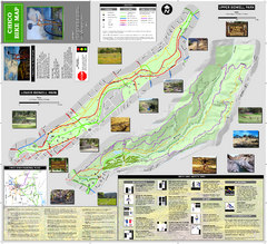
Upper and Lower Bidwell Park Bike Map
Bike map of Upper Bidwell Park and Lower Bidwell Park in Chico, California
359 miles away

Chico, California City Map
359 miles away
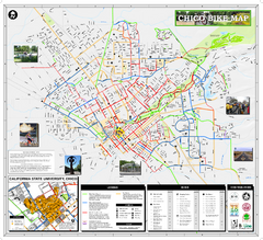
Chico Bike Map
Bicycle route map of Chico, California
359 miles away
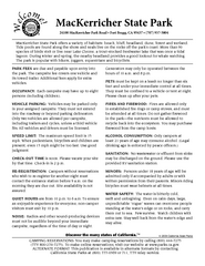
MacKerricher State Park Campground Map
Map of campground region of park with detail of trails and recreation zones
359 miles away
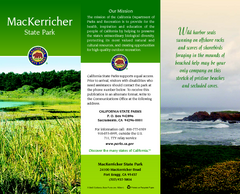
MacKerricher State Park Map
Map of park with detail of trails and recreation zones
360 miles away
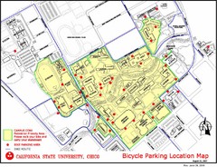
California State University, Chico Bike Parking...
Map that highlights all the available bike parking area and bike routes throughout the campus and...
360 miles away
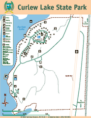
Curlew Lake State Park Map
Map of park with detail of trails and recreation zones
361 miles away

Pullman Parks Trail Map
Trails and pathways map
362 miles away
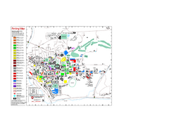
Washington State University Map
Washington State University Campus Map. All buildings shown.
362 miles away
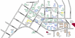
Washington State University's Greek Row Map
Map of WSU's fraternities and sororities
362 miles away
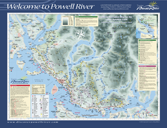
Upper Sunshine Coast Recreation Map
Recreation map of Upper Sunshine Coast in BC. Shows hiking trails, kayaking and canoeing routes...
364 miles away
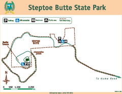
Steptoe Butt State Park Map
Map of park with detail of trails and recreation zones
365 miles away
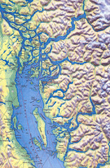
Northern Gulf Map
Map of Northern Gulf Islands
365 miles away

Burning Map 2005 Map
Artistic representation of Burning Man's Black Rock City.
366 miles away
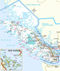
Vancouver Island Park Map
Parks and roads on Vancouver Island.
366 miles away
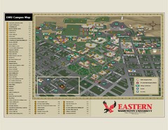
Eastern Washington University Campus Map
Campus map of Eastern Washington University in Cheney, Washington
367 miles away
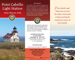
Point Cabrillo Light Station State Historic Park...
Map of park with detail of trails and recreation zones
369 miles away
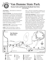
Russian Gulch State Park Campground Map
Map of campground region of park with detail of trails and recreation zones
370 miles away
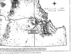
Map of Wolverine Sightings: 1886 -- 1998
370 miles away
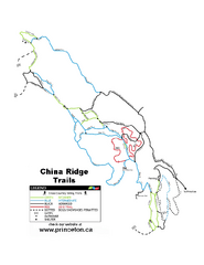
China Ridge XC Ski Trail Map
Trail map from China Ridge XC, which provides nordic skiing.
371 miles away
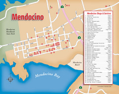
Mendocino Tourist Map
Tourist map of town of Mendocino, California. Shows shops and services.
372 miles away
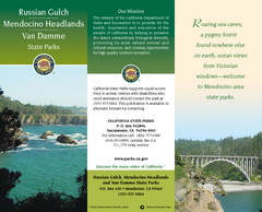
Mendocino Headlands State Parks Map
Map of parks with detail of trails and recreation zones
372 miles away
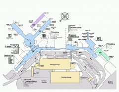
Spokane International Airport Terminal Map
Official Map of Spokane International Airport in Washington state. Shows all terminals.
373 miles away

Van Damme State Park Map
Park map of Van Damme State Park near Mendocino, California. Show Fern Valley Trail through...
374 miles away
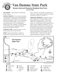
Van Damme State Park Campground Map
Map of campground region of park with detail of trails and recreation zones
374 miles away
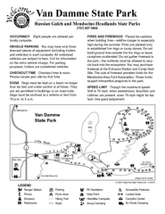
Van Damme State Park Campground Map
Map of campground region of park with detail of trails and recreation zones
374 miles away
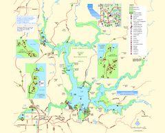
Lake Oroville State Recreation Area Map
Map of recreation area with detail of trails and recreation zones
375 miles away
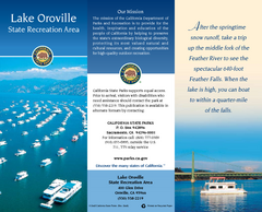
Lake Oroville State Recreation Area Map
Map of recreation area with detail of trails and recreation zones
375 miles away
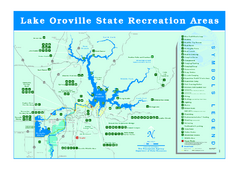
Lake Oroville State Recreation Area Map
Recreation overview map of Lake Oroville State Recreation Area near Oroville, California. Show all...
376 miles away
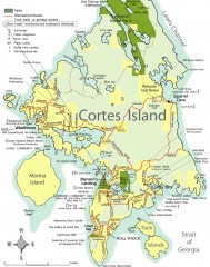
Cortes Island tourist map
Tourist map of Cortes Island in British Columbia, Canada. Shows businesses and roads.
376 miles away
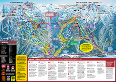
Whistler Blackcomb Trail map 2010-2011
Official ski trail map Whistler Blackcomb for the 2010-2011 season.
378 miles away
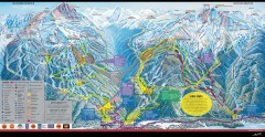
Whistler Blackcomb Ski Trail map 2005-06
Official ski trail map of the Whistler Blackcomb ski area from the 2005-2006 season. Site of the...
378 miles away
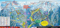
Whistler Blackcomb Ski Trail Map 2007-2008
Official ski trail map of the Whistler Blackcomb ski area from the 2007-2008 season. Site of Alpine...
378 miles away

Creekside Map
Tourist map of Creekside Village
378 miles away
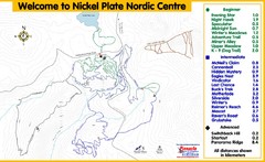
Nickel Plate Nordic Centre Ski Trail Map
Trail map from Nickel Plate Nordic Centre.
378 miles away
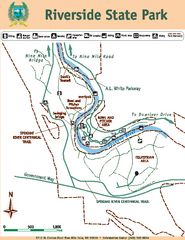
Riverside State Park Map
Map of park with detail of trails and recreation zones
379 miles away
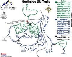
Nickel Plate Nordic Centre North Ski Trail Map
Trail map from Nickel Plate Nordic Centre.
379 miles away
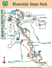
Riverside State Park Map
Map of park with detail of trails and recreation zones
379 miles away
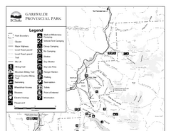
Garibaldi Provincial Park Map
Park map of Garibaldi Provincial Park, BC. 2 pages.
379 miles away
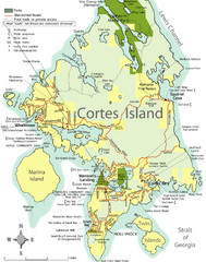
Cortes Island Tourist Map
Places of interest.
379 miles away

