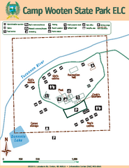
Camp Wooten State Park Map
Map of park with detail of trails and recreation zones
290 miles away
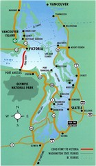
British Columbia, Canada Tourist Map
290 miles away
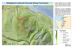
Bellingham Galbraith Mountain Biking Trail Map
Mountain biking trail map of Whatcom Falls Park near Bellingham, WA
291 miles away
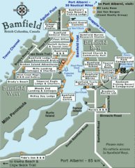
Bamfield Tourist Map
292 miles away
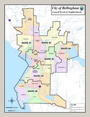
Bellingham Ward Map
Guide to wards in Bellingham, WA
292 miles away
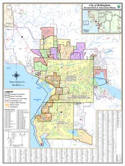
Bellingham, Washington City Map
292 miles away
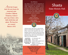
Shasta State Historic Park Map
Map of park with detail of trails and recreation zones
293 miles away
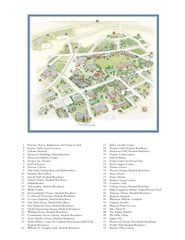
Whitman College Campus Map
Campus map of Whitman College in Walla Walla, WA
295 miles away
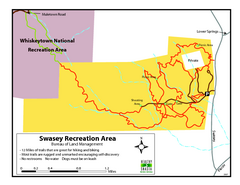
Swasey Recreation Area Map
12 Miles of trails that are great for hiking and biking. Most trails are rugged and unmarked...
296 miles away
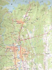
Redding, California City Map
297 miles away
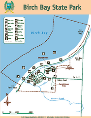
Birch Bay State Park Map
Map of park with detail of trails and recreation zones
298 miles away
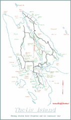
Thetis Island Map
Thetis Island map showing roads, properties, and the community trail.
299 miles away
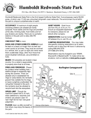
Humboldt Redwoods State Park Campground Map
Map of campground region park with detail of trails and recreation zones
301 miles away
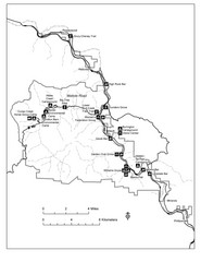
Humboldt Redwoods State Park Map
Park map of Humboldt Redwoods State Park, California. Shows Avenue of the Giants, trailheads and...
302 miles away
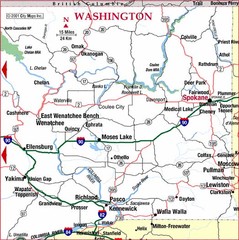
Eastern Washington Road Map
302 miles away
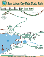
Sun Lakes-Dry Falls State Park Map
Map of park with detail of trails and recreation zones
302 miles away
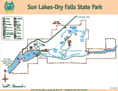
Sun Lakes-Dry Falls State Park Map
Map of park with detail of trails and recreation zones
303 miles away
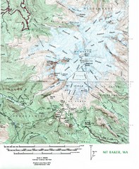
Mt. Baker Topo Map
Topo map of Mt. Baker, Washington, elevation 10,778ft.
303 miles away
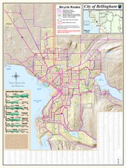
Bellingham, Washington City Map
304 miles away
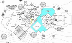
Lynden City Park Map
305 miles away
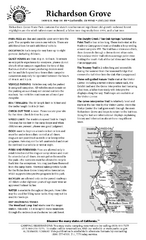
Richardson Grove State Park Campground Map
Map of campground region of park with detail of trails and recreation zones
305 miles away
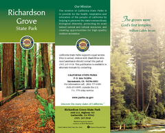
Richardson Grove State Park Map
Map of park with detail of trails and recreation zones
305 miles away
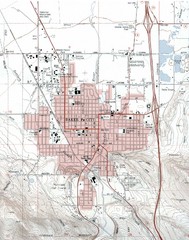
Baker City, Oregeon Tourist Map
306 miles away

Steens Mountain Topo Map
Topography map of the east side of Steens mountain in Oregon.
309 miles away
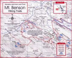
Mt. Benson Hiking Trail Map
Show hiking trails in the Nanaimo and Area Land Trust containing Mt. Benson. Also shows roads and...
310 miles away
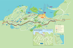
Nanaimo City Map
Map of Nanaimo, BC. Shows trails and parks.
310 miles away
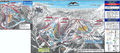
Mt. Baker Ski Trail Map
Official ski trail map of Mount Baker ski area from the 2007-2008 season.
311 miles away
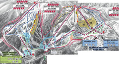
Mt. Baker Ski Area Ski Trail Map
Trail map from Mt. Baker Ski Area, which provides terrain park skiing. It has 10 lifts servicing 38...
311 miles away
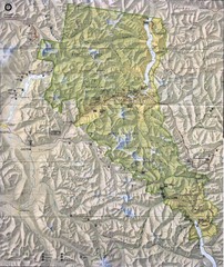
North Cascades National Park Physical Map
National Park
311 miles away
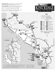
King Range National Conservation Area Trail Map
Trail map of the King Range National Conservation Area, home of the Lost Coast, California. Shows...
312 miles away
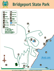
Bridgeport State Park Map
Map of park with detail of trails and recreation zones
312 miles away
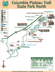
Columbia Plateau Trail State Park North Map
Map of park with detail of trails and recreation zones
313 miles away
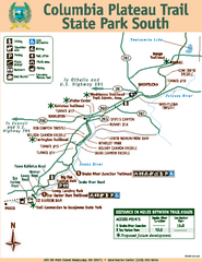
Columbia Plateau Trail State Park South Map
Map of park with detail of trails and recreation zones
313 miles away
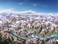
North Cascades National Park Oblique Map
Oblique map looking across Ross Damn, and Diablo Lake towards Seattle
314 miles away
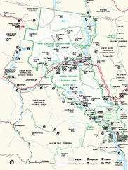
North Cascades National Park map
Official NPS map of North Cascades National Park, Washington. Shows the entire park and...
314 miles away
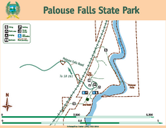
Palouse Falls State Park Map
Map of park with detail of trails and recreation zones
314 miles away
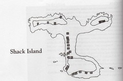
Shack Island Map
Illustration taken from the book "Shack Island" by Ruth English Matson. 2004.
315 miles away
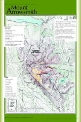
Mount Arrowsmith Climbing Route Map
Climbing routes on Mount Arrowsmith, Vancouver Island
316 miles away
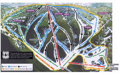
Bluewood Ski Trail Map
317 miles away
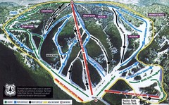
Bluewood Ski Trail Map
Trail map from Bluewood, which provides downhill, nordic, and terrain park skiing. It has 3 lifts...
317 miles away

