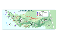
Yaquina Head Outstanding National Area Map
0 miles away
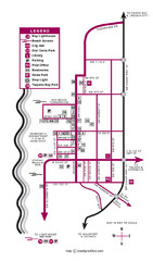
Nye Beach Tourist Map
2 miles away
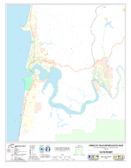
Newport Oregon Road Map
3 miles away
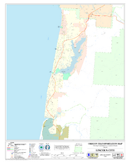
Lincoln City Oregon Road Map
20 miles away
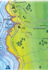
Cape Perpetua Map
28 miles away
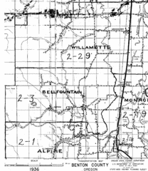
Transportaion for Benton County 1936 Map
1936 Map of Benton County, Oregon known as Muddy Area with counties, roads and towns marked
34 miles away
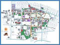
Oregon State University Campus Map
Campus map of Oregon State University in Corvallis, Oregon
40 miles away
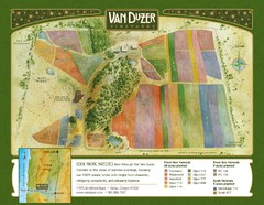
Van Duzer Vineyard Map
"A colorful vineyard map that shows the location of Van Duzer’s numerous grape varietals...
45 miles away

Independence Oregon Road Map
45 miles away
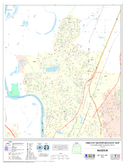
Keizer Oregon Road Map
56 miles away
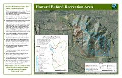
Howard Buford Recreational Area Trails Map
Map of the Howard Buford Recreational Area trails, roads, picnic areas, bathrooms, attractions.
59 miles away

Eugene Parks map
City of Eugene Parks Map. Includes streets and trails.
64 miles away
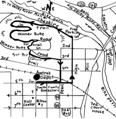
Eugene Oregon Walk, Skinner Butte and River Path...
Walk on the Willamette River Bike path, up Skinner Butte on a forest path and through a historic...
65 miles away
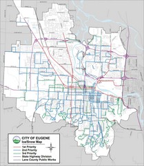
Eugene, Oregon City Map
65 miles away
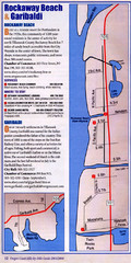
Rockaway Beach Map
65 miles away
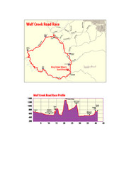
Wolf Creek Road Race Route and Route Elevation Map
Route map and elevation of Wolf Creek bike Race
65 miles away
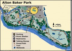
Alton Baker Park Map
Shows parking, picnic shelters, restrooms, talking stones, paved path, trail, and wetlands. Alton...
66 miles away
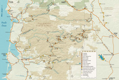
Tillamook State Forest Map
Recreation map of Tillamook State Forest. Over 60 miles of non-motorized trails and 150 miles of...
66 miles away
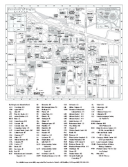
University of Oregon campus map
University of Oregon campus map with building abbreviations
66 miles away
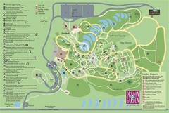
Oregon Garden Map
Map and key marking trails and more in this amazing garden.
66 miles away
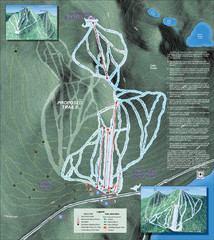
Willamette Pass Ski Trail Map
Trail map from Willamette Pass.
71 miles away
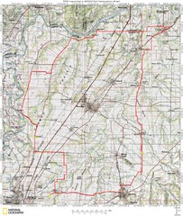
Spring Century Bike Route Map
Oregon Spring Century Ride
71 miles away
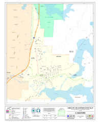
Lakeside Oregon Road Map
76 miles away

King City Oregon Road Map
80 miles away

Tigard Oregon Road Map
82 miles away

Lake Oswego Oregon Road Map
86 miles away

BANKS-VERNONIA STATE TRAIL Map
86 miles away
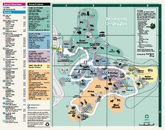
Oregon Zoo Map 2009
88 miles away
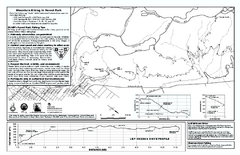
Forest Park Mountain Biking Map
Forest Park now includes over 5,100 wooded acres making it the largest, forested natural area...
88 miles away
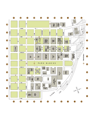
Portland State University Map
Campus Map of Portland State University. All buildings shown.
89 miles away
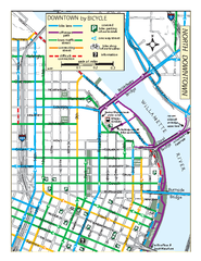
North Downtown Portland Bike Parking Map
Biking map of northern downtown Portland, Oregon. Shows bike paths, parking, and stores.
90 miles away
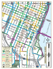
South Downtown Portland Bike Map
Biking map of southern downtown Portland, Oregon. Shows bike paths, bike parking, and bike shops.
90 miles away
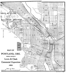
Portland, Oregon Map
Map of Portland, Oregon during centennial exposition of the Lewis & Clark Exploration...
90 miles away
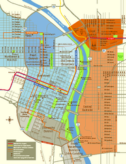
Central Portland, Oregon Map
Tourist map of Portland, Oregon. Shows museums, sports arenas, parks, and public transportation.
90 miles away
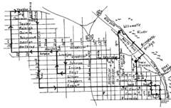
Pearl District Walking Map, Portland Oregon Map
Walk through the Pearl District, along the Willamette River and up to 23rd Street. Detour to the...
90 miles away
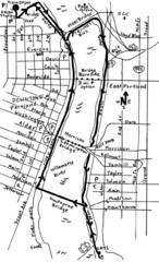
Portland Oregon downtown walk Map
Walk from the Amtrak Station to the Oregon Museum of Science and Industry. 4 miles round trip...
90 miles away
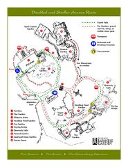
Portland Japanese Garden Map
So Far My favorite Japanese Garden
90 miles away
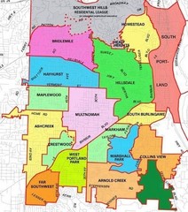
Portland, Oregon Neighborhood Map
90 miles away
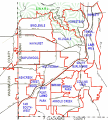
Portland, Oregon Neighborhood Map
90 miles away
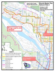
Portland, Oregon Bike Map
90 miles away

