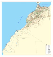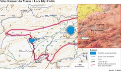
Puerto Del Carmen - Street map
0 miles away
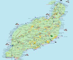
Lanzarote Tourist Map
Tourist map of Lanzarote, Canary Islands, Spain.
9 miles away
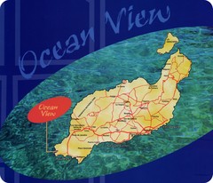
Lanzarote Map
Island road map of Lanzarote
9 miles away
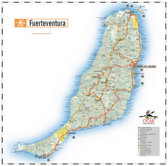
Fuerteventura Island Map
46 miles away
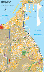
Las Palmas Tourist Map
Tourist map of city of Las Palmas, Gran Canaria, Spain. Shows points of interest.
122 miles away
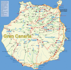
Gran Canaria Map
134 miles away
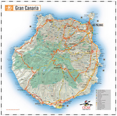
Gran Canaria Tourist Map
Tourist map of Gran Canaria Island, Spain. Shows tourist points of interest.
135 miles away
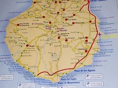
Gran Canaria Island Map
137 miles away
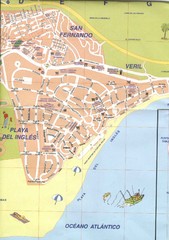
Playa Del Ingles Tourist Map
Places of interest.
143 miles away
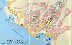
Puerto Rico Gran Canaria Map
City map of Puerto Rico, Gran Canaria. Scanned
148 miles away
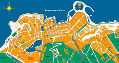
Puerto de la Cruz Tenerife Map
Street level map of Puerto de la Cruz, Tenerife showing a few tourist sites.
179 miles away
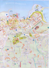
Puerto de la Cruz Tourist Map
179 miles away
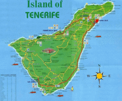
Tenerife Tourist Map
Tourist Map of Tenerife with cities, roads, lodgings and tourist sites marked.
180 miles away
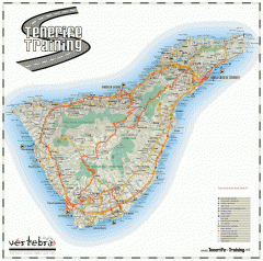
Tenerife Road Map
Detailed road map of Tenerife. Shows parks, peaks, and beaches
180 miles away
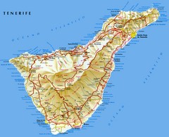
Tenerife Map
Map of Tenerife Island in the Canary Islands showing roads, towns and mountains.
186 miles away
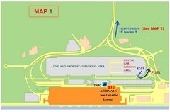
Tenerife Airport Map
188 miles away
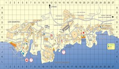
Los Gigantes Tourist Map
Tourist map of Los Gigantes, Tenerife. Shows properties for rent and points of interest.
200 miles away
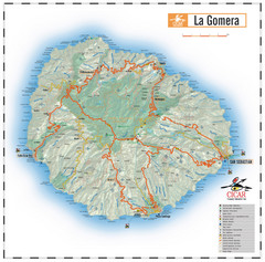
La Gomera Island Map
Map of the island of Gomera in the Canary Islands
224 miles away
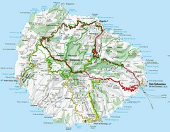
La Gomera Island Map
Tourist map of La Gomera showing beaches, roads, towns, elevations, ports and airports.
224 miles away
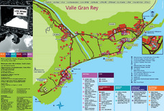
Valle Gran Rey Gomera Tourist Map
Tourist map of Valle Gran Rey, Gomera showing shopping, bars and restaurants, services and...
231 miles away

La Palma Island Map
255 miles away
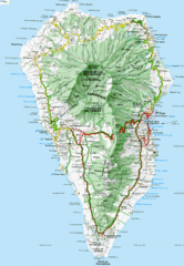
La Palma Physical Map
Physical map of island of La Palma. Shaded relief.
257 miles away
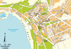
Agadir city Map
264 miles away
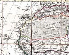
North and West Africa, 1829 Map
North and West Africa from “Carte Generale de L’Afrique” by Eustache Herisson...
292 miles away
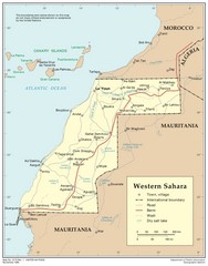
Western Sahara Map
Map of country with detail of towns and cities
300 miles away
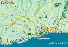
Funchal Madeira Map
Street map of Funchal, Madeira Islands, Portugal
322 miles away
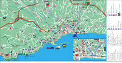
Funchal Tourist Map
Tourist map of Funchal, Madeira
322 miles away
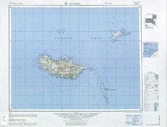
Madeira Country Map
330 miles away
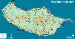
Madeira Island Map
Road map of Madeira Island, Portugal. Shows roads, trails, and rivers. Symbols for points of...
331 miles away
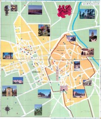
Marrakesh Tourist Map
Tourist map of Marrakesh, Morocco. Shows photos. Scanned.
385 miles away
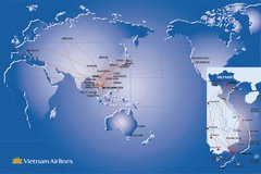
Vietnam Airlines Map
Vietnam Airlines worldwide coverage map
394 miles away
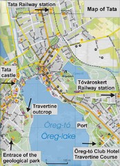
Tata Tourist Map
Areas surrounding Oreg Lake near Budapest
435 miles away
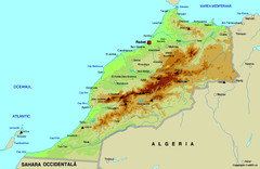
Morocco physical Map
492 miles away
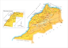
Morocco Map
499 miles away
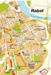
Rabat city Map
534 miles away
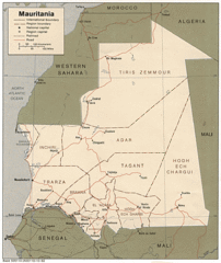
Mauritania Map
Guide to the African country of Mauritania
615 miles away
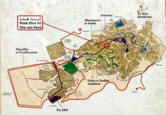
Fez Medina Walking Route Map
Photo of sign of walking routes in medina of Fez, Morocco.
620 miles away
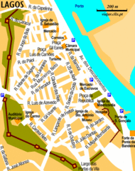
Lagos City Map
Clear road map of this beautiful city.
635 miles away

