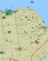
Downtown San Francisco tourist map
Tourist map of Downtown San Francisco spanning several neighborhoods, showing points of interest.
9 miles away
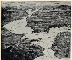
1936 San Francisco Bay Area Map Part 1
Guide to the San Francisco Bay Area in 1936, hand drawing over photograph
9 miles away
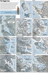
San Francisco Sea Level Rise Map
Guide to the San Francisco Bay Area, and the areas that will be underwater if there is a 1 meter...
9 miles away
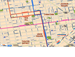
Downtown San Francisco: Union Square, Chinatown...
Tourist map of Union Square, Chinatown and Nob Hill in Downtown San Francisco, California. Public...
9 miles away
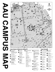
Academy of Art University San Francisco, CA Map
9 miles away
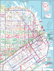
Downtown San Francisco Transit Map
Guide to area and transit in downtown San Francisco
9 miles away
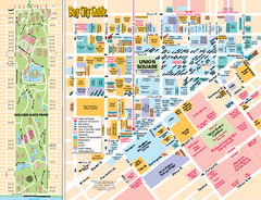
Union Square Tourist Map
Tourist map of Union Square district in San Francisco, California. Shows all venues and points of...
9 miles away
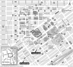
San Francisco City Center Map
9 miles away
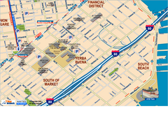
Downtown San Francisco: South of Market, Yerba...
Tourist map of South of Market (SOMA), Yerba Buena Center, and South Beach areas in downtown San...
9 miles away
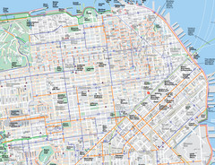
San Francisco Map
Road and Bike routes in San Francisco
10 miles away
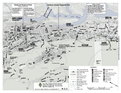
Anthony Chabot Regional Park Map - North
Trail map of the north section of Anthony Chabot Regional Park in the East Bay Hills.
10 miles away
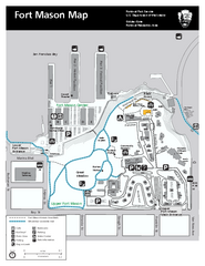
Fort Mason Map
Overview map of Fort Mason, San Francisco, California. Shows trails and points of interest.
10 miles away

San Francisco Historic Rail Map
Map of San Francisco historic rail lines
10 miles away
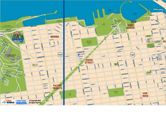
Downtown San Francisco: Fort Mason, the Marina...
Tourist map of Fort Mason, the Marina, and Pacific Heights area in downtown San Francisco...
10 miles away
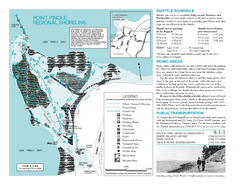
Point Pinole Regional Shoreline Map
10 miles away
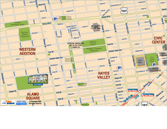
Hayes Valley, Fillmore, Western Addition, Alamo...
Tourist map of Hayes Valley, Fillmore, Western Addition, and Alamo Square in San Francisco.
10 miles away
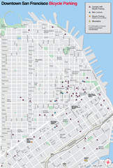
San Francisco Bike Parking Map
Multiple bike-parking points in San Francisco.
10 miles away
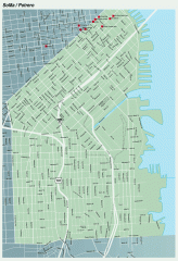
SoMa, Potrero Hill tourist map
Tourist map of SoMa and Potrero Hill in San Francisco
10 miles away
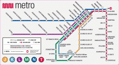
San Francisco Muni Metro map
Official SFMTA San Francisco MUNI Metro map. Shows overlapping BART stations and the Cal Train...
10 miles away

Double Decker Tour Bus Map
10 miles away

Municipal Railway Map
10 miles away
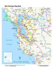
San Francisco Bay Area Map
Overview road map of the San Francisco Bay Area, California
10 miles away
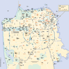
San Francisco Neighborhood Map
Neighborhood map of San Francisco, CA. Shows 49 mile scenic drive.
10 miles away
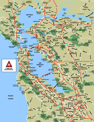
San Francisco Bay Area Map
10 miles away

San Francisco Bay Area Faults and Earthquake...
10 miles away
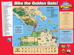
San Francisco Bike Map
10 miles away
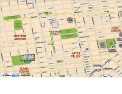
Downtown San Francisco: Hayes Valley, Western...
Tourist map of Hayes Valley, Western Addition, and Civic Center area of downtown San Francisco...
11 miles away
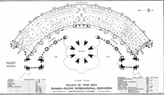
San Francisco Palace of the Fine Arts Map
11 miles away
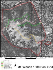
Mt. Wanda Aerial Trail Map
Trail map of Mt. Wanda area in the John Muir National Historic Site.
11 miles away
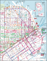
San Francisco Map
Highly detailed map of San Francisco roads and transportation.
11 miles away
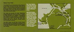
John Muir National Histroric Site Map
11 miles away
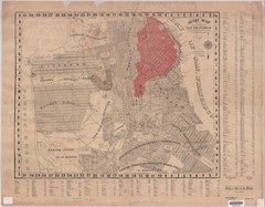
1907 San Francisco Earthquake Map
Map of areas destroyed by fire after 1906 earthquake
11 miles away
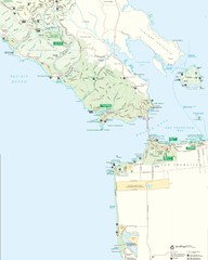
Golden Gate National Recreation Area Detail Map
11 miles away
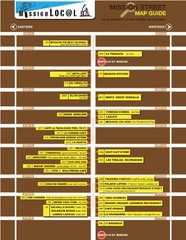
San Francisco Mission Restaurant Map
11 miles away
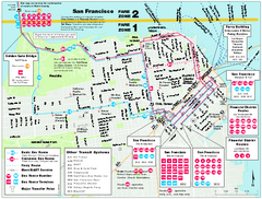
San Francisco Bus and Ferry Map
11 miles away
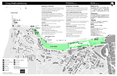
Crissy Field Map
Official NPS map of Crissy Field and vicinity in the Presidio of San Francisco, CA
11 miles away
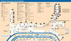
Oakland International Airport (OAK) Map
Terminal map. Shows all airport services and facilities
11 miles away
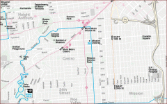
Castro, Mission, Haight-Ashbury, Noe Valley map
Tourist map of Castro, Mission, Haight-Ashbury, Noe Valley, and Twin Peaks in San Francisco
11 miles away
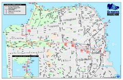
San Francisco 2009 Marathon Map
Guide to the 2009 San Francisco Marathon and Half Marathon
11 miles away
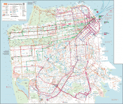
San Francisco Muni system map
Transit Muni system map shows all bus, subway metro, cable car, and streetcar routes.
12 miles away

