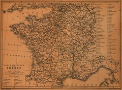
France Road Map, 1914
Road Map of France, 1914. From "Southern France Including Corsica; Handbook for Travellers...
238 miles away
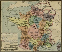
France Ecclesiastical Map 1789-1802
Shows monastic establishments in 1789 and dioceses/archbishoprics 1789 and 1802. From The...
238 miles away
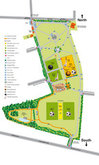
Palfrey Park Map
Detail map of Palfrey Park
239 miles away

Cawston, Norfolk Guide Map
240 miles away
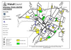
Downtown Walsall Parking Map
240 miles away
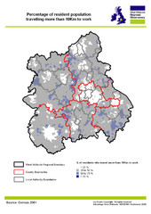
West Midlands Travel Time Statistics Map
Percentage of residents who travel to work in West Midlands, England
241 miles away
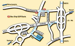
Bentley Map
Location map for Bentley. Includes roads, bus stops, and directions to Bentley Pavilion.
241 miles away
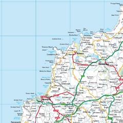
Cornwall Coast Map
Map of coast cities in Cornwall
241 miles away
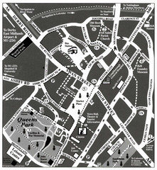
Loughborough Town Centre Map
242 miles away
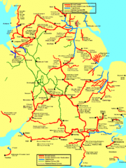
UK Broad Beam Canal Map
Guide to UK waterways that accommodate a barge
244 miles away
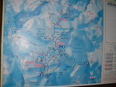
Station du Haut-Folin ? Nordic Ski Trail Map
Trail map from Station du Haut-Folin, which provides nordic skiing. This ski area has its own...
245 miles away
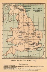
England War of the Roses Map
Guide to battle sites, encampments and treaties of the War of the Roses in England
247 miles away
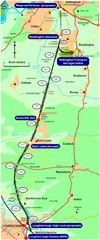
Nottingham Transport Map
A map showing train stations in Loughborough to Nottingham. Includes surrounding roads, towns...
248 miles away
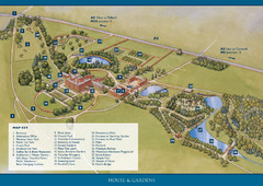
Weston Park Estate Map
251 miles away
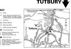
Tutbury Town Centre Map
253 miles away

Main Historic Sites in Wales Map
Welsh Historic Monuments map (CADW) showing roads, cities and the main castles and abbeys in Wales.
254 miles away
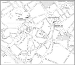
Cognac Map
254 miles away

St Ives Cornwall Tourist Map
A large, detailed map of St. Ives. Marked with street names and many of the basic services such as...
255 miles away
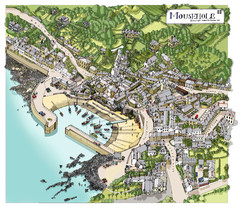
Mousehole map
Map of Mousehole. Aerial map of Mousehole, Cornwall.
256 miles away
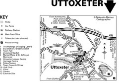
Uttoxeter Town Centre Map
259 miles away

Poitou Charantes Map
260 miles away
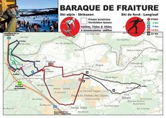
Baraque de Fraiture and Nordic Ski Trail Map
Trail map from Baraque de Fraiture.
260 miles away
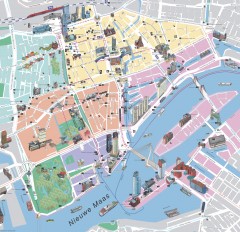
Rotterdam Tourist Map
Tourist map of Rotterdam, Netherlands. Largest port in Europe.
261 miles away
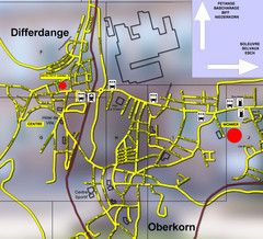
Differdange Bus Map
262 miles away
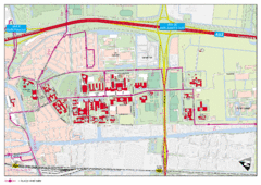
Delft University of Technology Campus Map
262 miles away
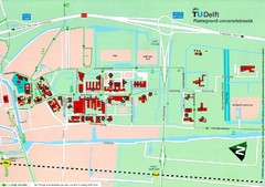
Delft University of Technology Map
262 miles away

Woodhall Spa Map
Street map of Woodhall Spa
262 miles away
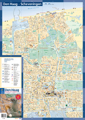
The Hague Tourist Map
Tourist map of The Hague, Netherlands. Shows points of interest.
264 miles away
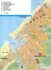
The Hague Hotel Map
Hotel map of The Hague, Netherlands. Shows tram stops. Congress centre highlighted.
264 miles away
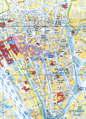
Utrecht, Netherlands Tourist Map
264 miles away
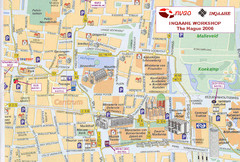
Den Haag, Netherlands Tourist Map
264 miles away
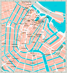
Den Haag, Netherlands Tourist Map
264 miles away
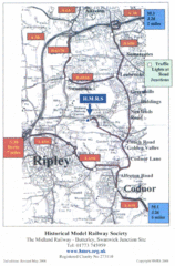
Central England Tourist Map
The area around Nottingham
265 miles away

DTb Master Diagram (early draft) Map
DUKERIES THINKBELT: MASTER DIAGRAM All elements and key
265 miles away
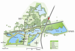
Whisby Nature Park Map
Shows park as of January 2009.
267 miles away
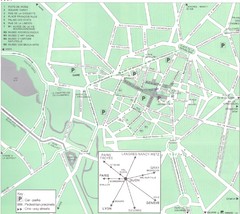
Dijon Map
268 miles away

Dijon centre Map
268 miles away


