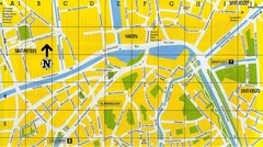
North Bruges Map
Map of northern part of Bruges city
189 miles away
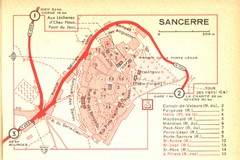
Sancerre Town Map
Town center of Sancerre, France. From Penguin edition, pages 13-16
189 miles away
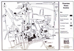
Tiverton Town Center Map
Black and white map shows major streets in Tiverton, Devon.
191 miles away
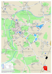
Cambridge Area Map
City map of Cambridge, England. Shows public facilities.
196 miles away
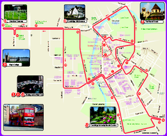
Cambridge Bus Tour Map
Cambridge Bus Tour Map - City Sightseeing
196 miles away
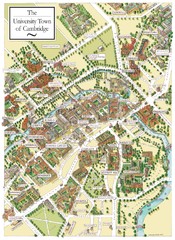
Cambridge England Map
Map of Cambridge, showing all the Colleges
196 miles away
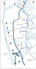
Cambridge Walking Map
Hand drawn tourist walking map of Cambridge, UK
196 miles away
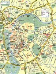
Cambridge Street Map
Street map of central Cambridge, England. Shows University of Cambridge.
197 miles away
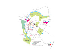
Cambridge City Centre Map
Locations and areas in Cambridge, England
197 miles away
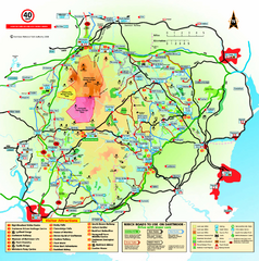
Dartmoor National Park Map
Official visitor map of Dartmoor National Park, England. Shows elevation and visitor attactions.
197 miles away
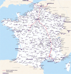
Map of SNCF National Railway Network in France
A SNCF map (Société Nationale des Chemins de Fer) showing the French train System...
198 miles away
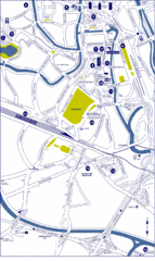
Ghent City Map
City map of Ghent with attractiosn
199 miles away
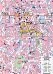
Ghent Walking Tour Map
Tourist and walking tour map of Ghent, Belgium. Shows points of interest.
199 miles away
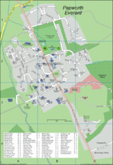
Papworth Everard Tourist Map
200 miles away
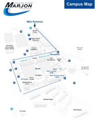
University College Plymouth Map
University College Plymouth St Mark & St John Derriford Road, Plymouth, Devon PL6 8BH
201 miles away
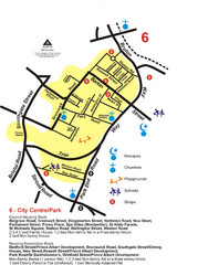
Gloucester City Park Map
201 miles away
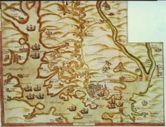
Plymouth Map 1500s
Map of Plymouth, England area in late 1500s
201 miles away
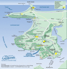
Mount Edcumbe Tourist Map
202 miles away
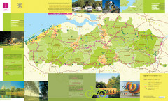
Flanders Camping and Cycling Map
Shows campgrounds and cycling routes in Flanders, Belgium
202 miles away
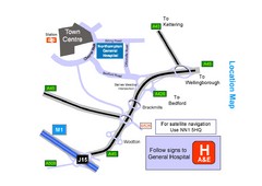
Central Northampton, England Tourist Map
Central Northampton in England
203 miles away
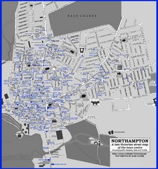
Northampton Town Map
Map of Northampton from the late Victorian period with public houses, inns, hotels, and pubs all...
203 miles away
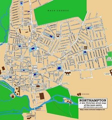
Northampton Town Map
Street map of Northampton from the late Victorian period
203 miles away
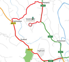
Hartpury College Directions Map
Map of location of Hartpury College campus and surrounding roads.
205 miles away
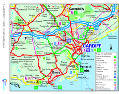
Cardiff Region Tourist Map
Regional tourist map of area surrounding Cardiff, UK. Shows all attractions.
205 miles away
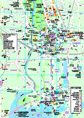
Cardiff City Map
Tourist map of city center of Cardiff, UK. Shows points of interest
205 miles away
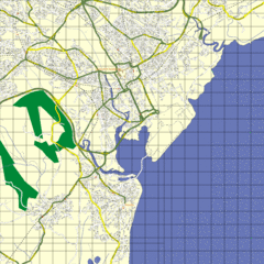
Cardiff Street Map
Street map of Cardiff, Wales area.
205 miles away
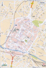
Charleroi Street Map
Street map of Charleroi, Belgium. Major buildings labeled.
207 miles away
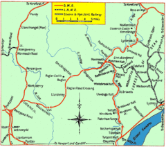
Monmouth and Wye Valley Railways Map
Map showing the 3 major railway lines and the cities with stops of Monmouth, UK.
209 miles away

Concarneau Map
210 miles away

Concarneau ville Map
210 miles away
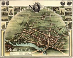
1902 Stratford-upon-Avon Map
Map of William Shakespeare's birthplace
210 miles away
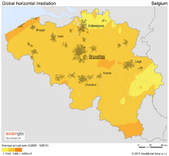
Solar Radiation Map of Belgium
Solar Radiation Map Based on high resolution Solar Radiation Database: SolarGIS. On the Solar Map...
211 miles away
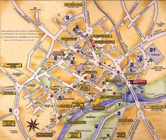
Stratford-upon-Avon Tourist Map
Tourist map of Stratford-upon-Avon, UK. Shows points of interest.
211 miles away
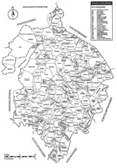
Warwichshire, England Region Map
212 miles away
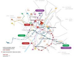
Brussels Transit Map
215 miles away
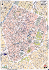
Brussels Street Map
Street map of the center of Brussels, Belgium (Brussel, Bruxelles). Major buildings labeled.
216 miles away
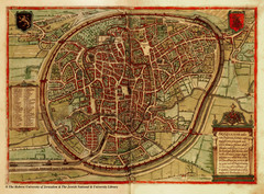
Medieval Brussels Map
216 miles away
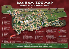
Banham Zoo Map
217 miles away
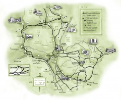
Abergavenny Cycle Map
Shows suggested easy cycling routes, other roads, steeper climbs, parking, public houses, shops...
218 miles away
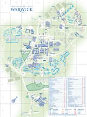
University of Warwick Campus Map
Near Coventry, West Midlands
220 miles away

