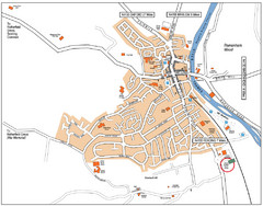
Henley-on-Thames Map
156 miles away
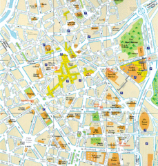
Lille Center Map
Street map of Lille city center
159 miles away
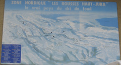
La Vallee des jeux Les Rousses Haut—Jura...
Trail map from La Vallee des jeux.
164 miles away
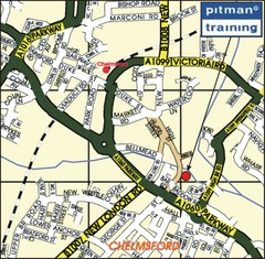
Chelmsford Map
165 miles away
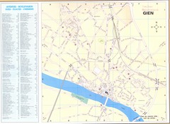
Gien Map
165 miles away
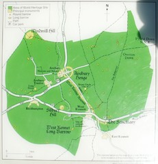
Avebury World Heritage Site Map
Map of Avebury, England showing World Heritage Site and surroundings. From photo.
166 miles away
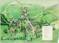
Avebury Tourist Map
Tourist map of Avebury, England. Shows Avebury Henge. From photo.
166 miles away
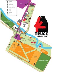
Steventon, South Oxfordshire Tourist Map
168 miles away
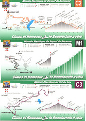
Beaufort Cycling Route Map
Three routes drawn and elevation gains shown for each cycling route in Beaufort, France's...
171 miles away
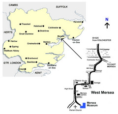
West Mersea Island Museum Map
172 miles away
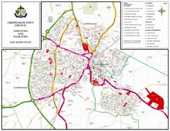
Chippenham Town Map
175 miles away
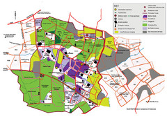
2008 Glastonbury Festival Guide Map
175 miles away
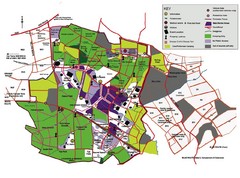
Glastonbury, England Festival Park Map
The park layout in Glastonbury, England
175 miles away
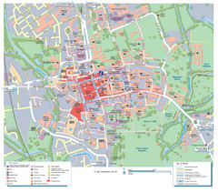
Oxford City Map
Tourist street map of Oxford
175 miles away
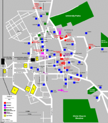
Oxford City Map
Oxford University and surrounding city
176 miles away
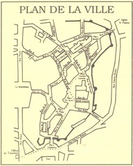
Vannes Map
176 miles away
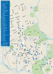
University of Oxford Campus Map
campus map
176 miles away
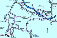
Bath City, England Map
Map from the centre of Bath, visitor information and streets.
176 miles away
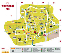
Whipsnade Zoo Map
177 miles away
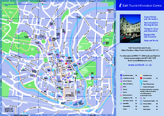
Bath City Map
177 miles away

Brittany region Map
177 miles away
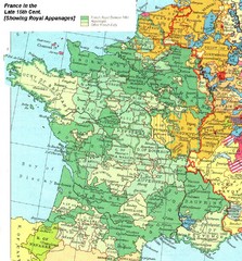
France Late 15th Century Map
France in the Late 15th Century (showing Royal Appanages)
180 miles away
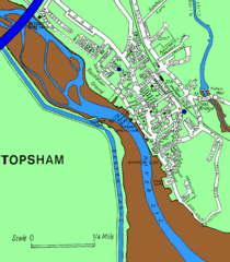
Topsham Street Map
182 miles away
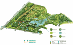
Stover Country Park Map
184 miles away
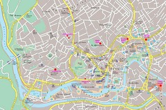
Bristol Centre Map
186 miles away
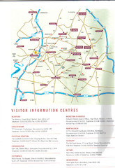
Cotswold England Tourist Map
The Cotswolds are situated in the Heart of England less than 2 Hours Drive from London. Map shows...
186 miles away
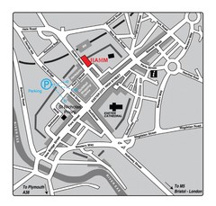
Royal Albert Memorial Museum Location Map
186 miles away
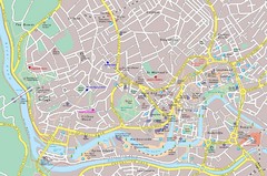
Bristol Tourist Map
Tourist map of central Bristol, England.
187 miles away
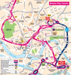
Bristol Hotel Map
187 miles away

Bristol, England Tree Map
187 miles away
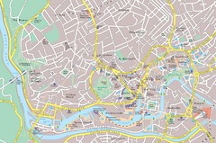
Central Bristol Tourist Map
Neighborhoods, landmarks and streets in Bristol, England
187 miles away
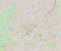
Bristol City Map
Overview map of city of Bristol. Zooms with details available on original website.
187 miles away

South Hams England Map
Map of South Hams, England showing cities,parks, major roads and railways.
188 miles away
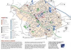
Milton Keynes Region Tourist Map
Tourist map of region around Milton Keynes, UK. Shows railway stations, out of town shopping, and...
188 miles away
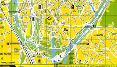
South Bruges Map
Map of the southern part of Bruges city
188 miles away
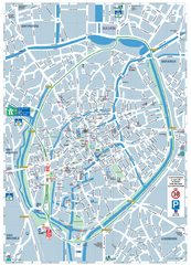
Brugge Tourist Map
Tourist map of Brugges, Belgium. Shows buildings and streets.
189 miles away

