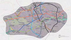
London Underground Zone 1 with Street Map
The London Underground Zone 1 geographically overlaid on city streets.
148 miles away
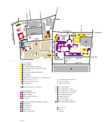
King's College in London Campus Map
King's College located in London
148 miles away
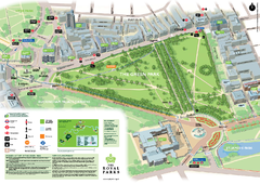
Green Park Map
148 miles away
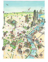
Aerial map of London
Map of London by Katherine Baxter
148 miles away
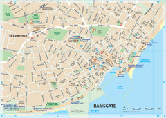
Ramsgate Tourist Map
Near Kent, England
149 miles away
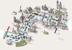
River Thames Jubilee Pageant Map
River Thames Jubilee Pageant 2012
149 miles away
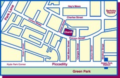
Third Church of Christ, Scientist, Location Map
149 miles away
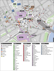
Trafalgar Square Map
149 miles away
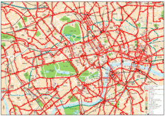
Central London Bus Map
1999 map from The London Tube Map Archive
149 miles away
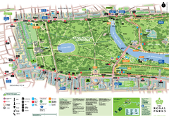
Kensington Gardens Map
149 miles away
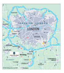
London Map
Map of London highways, roads and surrounding towns.
149 miles away
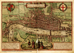
1560 London Map
Historic map of London showing city walls and farms
149 miles away
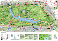
Hyde Park Map
149 miles away

London Hyde Park map
Map of London, showing Hyde park.
149 miles away
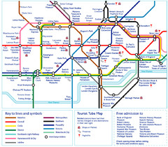
London Tourist Tube Map
London Tube Map with lots of station names replaced with tourist attractions. Key: Union Jack...
149 miles away
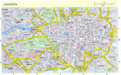
London City Map
City map of London with information and parking locations
149 miles away
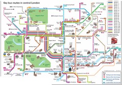
London Central Bus Routes Map
Guide to bus routes in London
149 miles away
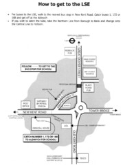
London School of Economics Bus Stop Map
How to get to the London School of Economics.
149 miles away
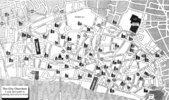
London Church Map
Map of the City of London showing 47 churches and 9 Towers
149 miles away
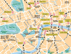
London Bahnhöfe Map
149 miles away
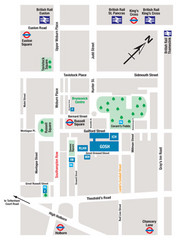
Great Ormond Street Hospital for Children Map
Great Ormond Street Hospital for Children NHS Trust (GOSH)
150 miles away
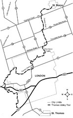
Thames Valley Trail Map
150 miles away
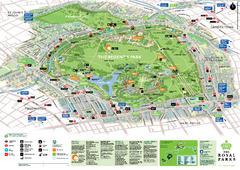
Regent's Park Map
Birds-eye view of the Regent's Park in London
150 miles away
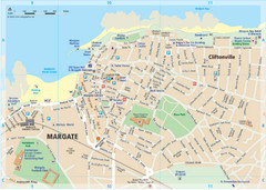
Margate TouristMap Map
150 miles away

Broadstairs Tourist Map
150 miles away
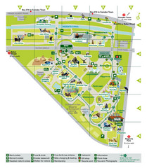
London Zoo Map
151 miles away
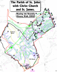
The Parish of St. John's with Christ Church...
A rough history of the Stratford, England and a continuation of the age old tradition of "...
151 miles away
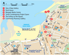
Margate Tourist Map
Tourist map of Margate, England.
151 miles away
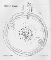
Stonehenge Map
Hand drawn map of Stonehenge showing stone circle and surrounding area
151 miles away
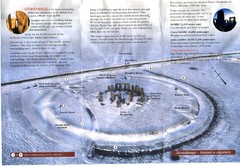
Stonehenge Brochure Map
Scan of official brochure of Stonehenge.
151 miles away
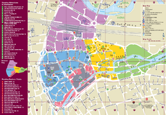
Reading Tourist Map
Tourist map of city center of Reading, England. Shows attractions and other tourist points of...
152 miles away
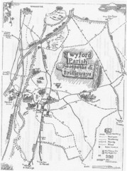
Twyford Parish Map
Footpaths and bridleways map of Twyford Parish
152 miles away
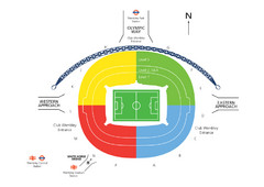
UK Wembley Stadium Map
152 miles away
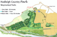
Hadleigh Country Park Map
3 walks, each color coded according to the estimated time it would take to complete each trek...
152 miles away
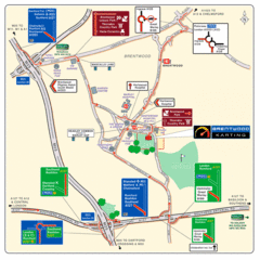
Brentwood, Essex Map
154 miles away
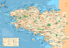
Brittany Tourist Map
Tourist map of province of Brittany in France. Shows ports, cathedrals, churches, chateaus, forts...
156 miles away
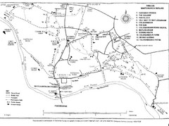
Whitchurch on Thames Walking Map
Guide to 12 walks around Whitchurch on Thames, UK
156 miles away
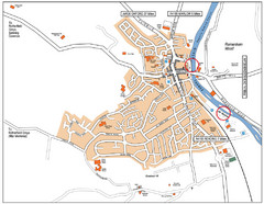
Henley-on-thames Map
Visitor Map of Henley-on-thames. Map shows location of most main roads, buildings, and parking.
156 miles away

