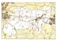
Capel Footpaths Map
Map of Footpaths in Capel Parish
127 miles away
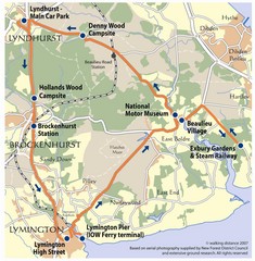
New Forest Bus Tour Map
127 miles away
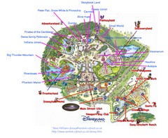
Disneyland Paris Guide Map
Locations and attractions at Disneyland Paris.
127 miles away

Bournemouth bus tour map
Bournemouth bus tour map - City Sightseeing
128 miles away
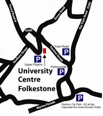
University Centre at Folkestone Map
128 miles away
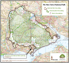
The New Forest National Park Map
Nice map with clear park boundaries.
129 miles away
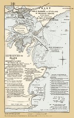
1857 Poole Harbor Map
Guide to the peninsula and improvements in the Harbor
130 miles away
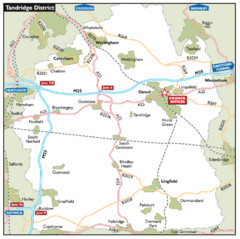
Tandridge District, England Region Map
131 miles away
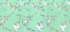
Bois-Rond Bouldering Circuit Map
From summitpost.org: "Bois-Rond is a bouldering area located in the Southern part of the...
132 miles away

Disabled Accessible Places in Maidstone, Kent Map
A guide to places in Maidstone that are wheelchair accessible.
133 miles away
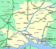
Southhampton Area Hotel Map
134 miles away
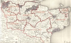
Kent, England County Map
135 miles away
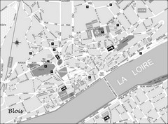
Blois Street Map
136 miles away
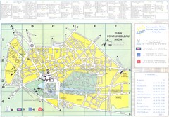
Fontainebleau Avon Map
137 miles away
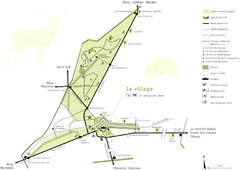
Chateau Chambord Estate Map
Estate map of the famous Chateau Chambord. Largest Chateau in the Loire River Valley.
137 miles away
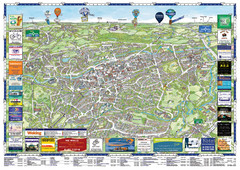
Woking Tourist Map
Tourist map of Woking, Surrey, England. Oblique/3D town map with ads.
138 miles away
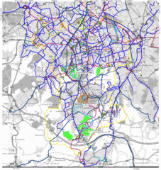
Cheam Bus Route Map
Olympic Bid 2016 - Bus Route Map
138 miles away
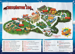
Chessington Zoo Map
138 miles away
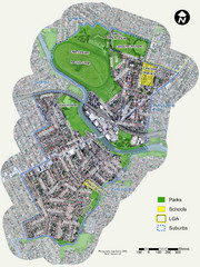
Canterbury Map
Map of parks, main streets, etc.
139 miles away
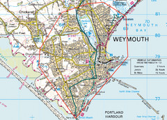
Weymouth, England Region Map
142 miles away
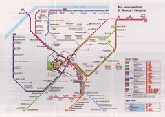
St. Georges Hospital Bus Services Map
143 miles away
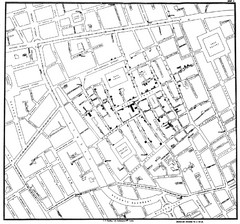
Cholera Outbreak of London Map
Map used to analyze the cholera outbreak in London, specifically South Hampton in 1853
143 miles away
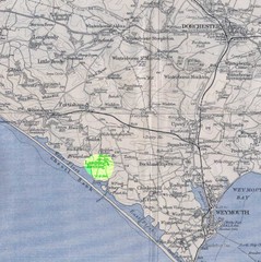
Dorchester, England Region Map
144 miles away
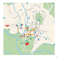
Salisbury Tourist Map
Tourist map of central Salisbury, UK. Shows parking and key for points of interest.
144 miles away
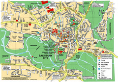
Salisbury City Map
Map of Salisbury City
144 miles away
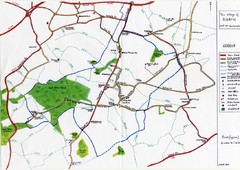
Hoath Town Map
Handwritten map of town of Hoath, England near Canterbury.
144 miles away
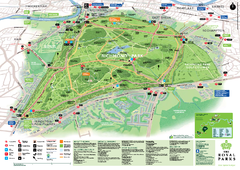
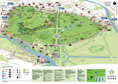
Richmond Park Map
145 miles away
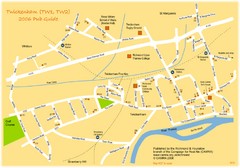
Twickenham Pub Guide Map
Map of TW1 & TW2 area
145 miles away

River Thames Map
River Thames Map, illustrated by Katherine Baxter for the Runnymede-on-Thames Hotel as a 8 metre...
146 miles away
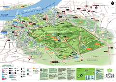
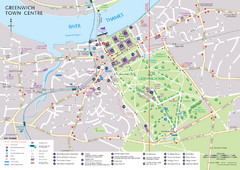
Greenwich Park Map
146 miles away
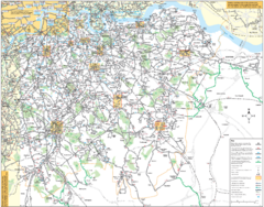
Southeast London Bus Map
146 miles away

Chateaux of the Loire River Valley Map
Chateaus of the Loire River Valley region in France. Stretching from the Atlantic from Nantes to...
147 miles away
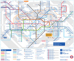
London Tube Map
147 miles away
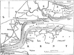
River Thames Map
Map of Thames from Gravesend to Canvey Island
147 miles away
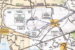
Heathrow Airport Transportation Map
148 miles away
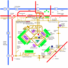
Heathrow Airport Map
148 miles away
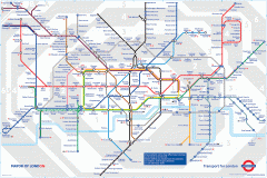
London Underground Map
Official map of the London Underground. An evolution of the original design conceived in 1931 by...
148 miles away
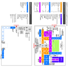
The Victoria & Albert Museum Floor plan Map
Map of The Victoria & Albert Museum in London. Shows entrances and exhibits.
148 miles away

