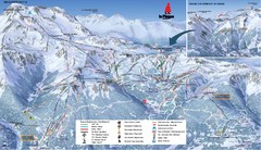
La Plagne La Plagne and Champagny-En-Vanoise Ski...
Trail map from La Plagne.
408 miles away
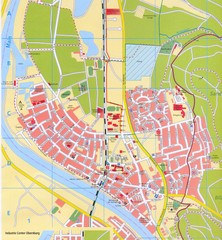
Erlenbach Map
Street map of town of Erlenbach
408 miles away

Haute Route Ski Tour Map - Verbier Variant
Ski tour topo route map of the European Alps' most famous alpine ski tour connecting two...
408 miles away

Carrigaline Town Map
408 miles away
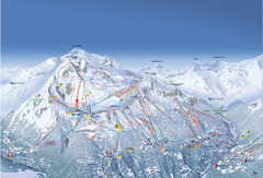
Les Arcs Ski Trail Map
Official ski trail map of Les Arcs ski area from the 2007-2008 season.
409 miles away
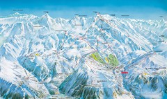
Grands Rousses (L’alpe d’Huez) Ski...
Trail map from Grands Rousses (L’alpe d’Huez), which provides downhill skiing.
409 miles away
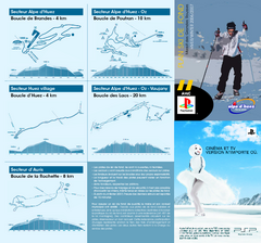
Grands Rousses (L’alpe d’Huez) Nordic...
Trail map from Grands Rousses (L’alpe d’Huez), which provides downhill skiing.
409 miles away
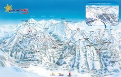
Paradiski Paradi Ski Trail Map
Trail map from Paradiski.
409 miles away
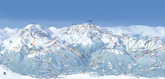
Paradiski Ski Trail Map
Official ski trail map of Paradiski ski areas from the 2007-2008 season. Includes Les Arcs, Peisey...
409 miles away
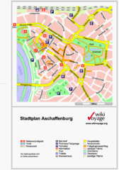
Aschaffenburg Tourist Map
Tourist street map of Aschaffenburg
409 miles away
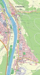
Klingenberg Map
Map of Klingenberg and surrounding region
409 miles away
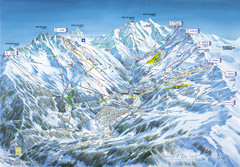
Méribel-Mottaret Ski Run Map
Ski Resort map for Méribel and Mottaret ski resorts including ski runs, lifts and mountain...
409 miles away
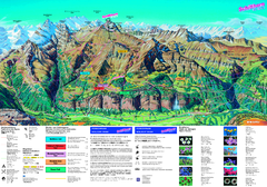
Schilthorn Summer Trail Map
Summer hiking map of Mürren-Schilthorn area. Shows lifts and trails.
409 miles away
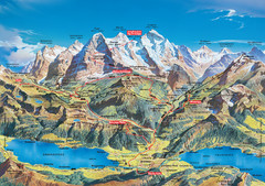
Jungfrau Grindelwald region summer map
This map is a summer panorama looking south from Interlaken toward the Jungfrau, Eiger, and the...
410 miles away
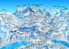
Jungfrauregion (Mürren, Wengen, Grindelwald) Ski...
Trail map from Jungfrauregion (Mürren, Wengen, Grindelwald), which provides downhill skiing.
410 miles away
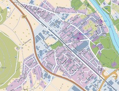
Kleinheubach Map
Street map of Kleinheubach
410 miles away
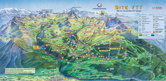
Courcheval Mountain Biking Map
Panoramic downhill mountain biking trail map of Courcheval, France in Vanoise National Park.
410 miles away
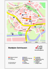
Gelnhausen Center Map
Tourist map of Gelnhausen center
411 miles away
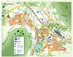
Amorbach Tourist Map
Tourist map of Amorbach
411 miles away
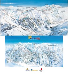
Champagny-en-Vanoise Ski Trail Map
Trail map from Champagny-en-Vanoise.
411 miles away
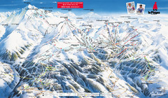
La Plagne Piste Map
La Plagne Ski Resort Map showing runs, lifts, and mountain elevations.
411 miles away
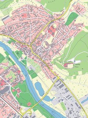
Grossheubach Map
Street map of Grossheubach
411 miles away
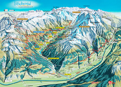
Lötschental Lauchernalp Summer Trail Map
Summer trail map of Lötschental Valley area. Shows hiking trails, towns, and mountains. The...
411 miles away
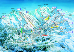
Les 3 Vallées Méribel Ski Trail Map
Trail map from Les 3 Vallées.
411 miles away
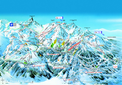
Les 3 Vallées Courchevel Detail Ski Trail Map
Trail map from Les 3 Vallées.
411 miles away
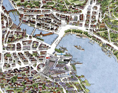
Lucerne Tourist Map
Tourist map of central Lucerne, Switzerland. 3D view showing buildings.
411 miles away
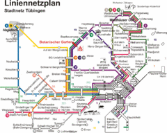
Tubingen Bus Map
Bus routes and connections, Tubingen, Germany. (German).
411 miles away
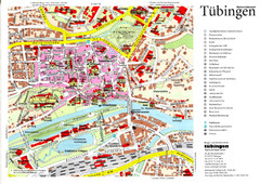
Tübingen Tourist Map
Tourist map of Old Town center of Tübingen
411 miles away
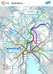
Zurich Metro Map
Official metro map from ZVV. Shows lines in central Zurich, Switzerland.
412 miles away
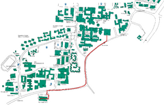
Universität Stuttgart Campus Map
In Stuttgart, Germany
412 miles away
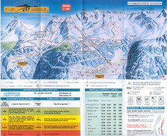
Val d’Anniviers (Grimentz, Zinal, Vercorin, St...
Trail map from Val d’Anniviers (Grimentz, Zinal, Vercorin, St-Luc und Chandolin), which provides...
412 miles away
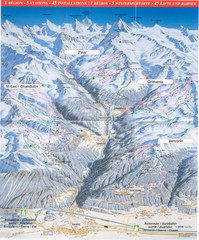
Val d’Anniviers (Grimentz, Zinal, Vercorin, St...
Trail map from Val d’Anniviers (Grimentz, Zinal, Vercorin, St-Luc und Chandolin), which provides...
412 miles away
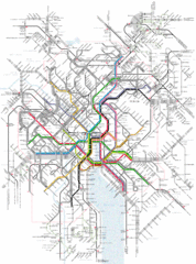
Zurich Tram Map
Map of tram system for Zurich and surrounding areas
412 miles away
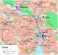
Zurich City Map
City map of Zurich with university highlighted
412 miles away
Zurich, Switzerland Tourist Map
412 miles away
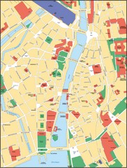
Zurich, Switzerland Tourist Map
412 miles away
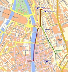
Zurich, Switzerland Tourist Map
412 miles away

