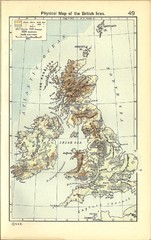
1911 British Isles Physical Map
Guide to physical features of the United Kingdom, then known as the British Isles
375 miles away
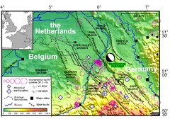
Earthquake in Lower Rhine Map
Seismotectonic map of the Lower Rhine graben system in the border area of Belgium, Germany and the...
375 miles away
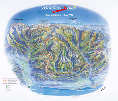
Portes du Soleil Summer Map
Summer recreation map of the Portes du Soleil covers both the French and Swiss sides of the area...
375 miles away
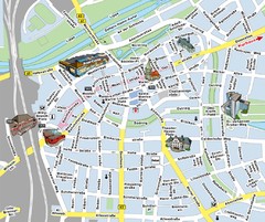
Hamm Center Tourist Map
Tourist street map of Hamm center
376 miles away
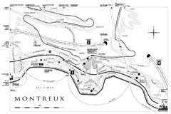
Montreux City Map
City map of Montreux, Switzerland on Lac Leman
376 miles away
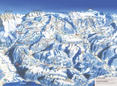
Portes du Soleil Ski Trail Map
Official ski map of the Portes du Soleil region. Winter 2007-2008 key figures: 278 ski-runs...
376 miles away
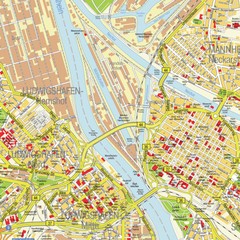
Ludwigshafen City Map
Street map of Ludwigshafen city center
376 miles away
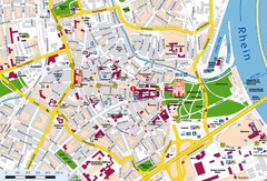
Speyer City Map
City map of central Speyer, Germany
376 miles away
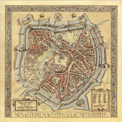
Münster City Map 1636
376 miles away
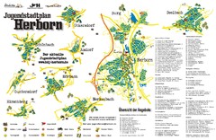
Herborn Tourist Map
Tourist map of Herborn and surrounding area
376 miles away
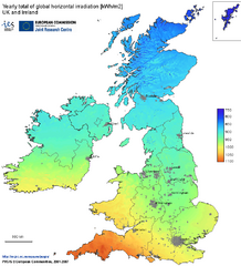
United Kingdom Solar Radiation Map
Guide to yearly total of global horizontal solar irradiation
377 miles away
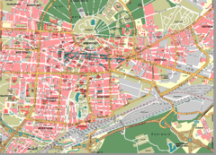
Karlsruhe Map
City street map of Karlsruhe
377 miles away
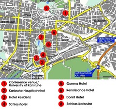
Karlsruhe Hotel Map
377 miles away
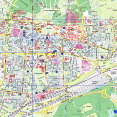
Karlsruhe Tourist Map
Tourist map of Karlsruhe
377 miles away
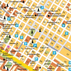
Central Mannheim Mp Map
Street map of Central Mannheim
377 miles away
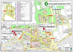
Karlsruhe University Campus Map
Campus map of Universität Karlsruhe, the oldest Technical University in Germany, founded in...
377 miles away
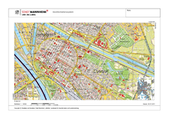
Mannheim Map
377 miles away
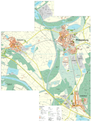
Philippsburg Map
Street map of Philippsburg
378 miles away
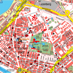
Mannheim Tourist Map
Tourist map of central Mannheim, Germany. Shows points of interest.
378 miles away
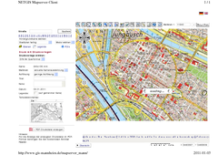
Mannheim Map
378 miles away
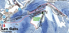
Les Gets Ski Trail Map
Trail map from Les Gets.
378 miles away
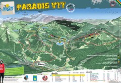
Les Gets Trail Map
Mountain biking trail map
378 miles away
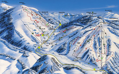
Feldberg Ski Trail Map
Trail map from Feldberg.
378 miles away
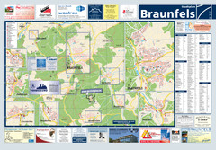
Braunfels Tourist Map
Tourist map of Braunfels and surrounding area
378 miles away
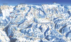
Morzine Ski Trail Map
Ski trail map of Morzine and surrounding ski areas.
378 miles away
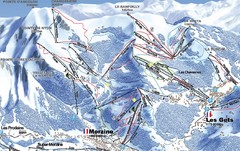
Morzine Morzine Ski Trail Map
Trail map from Morzine.
378 miles away
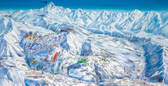
Le Grand Bornand Ski Trail Map
Trail map from Le Grand Bornand.
378 miles away
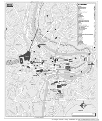
Bern Tourist Map
Tourist map of Bern, Switzerland. Shows museums, accommodations, eating, and drinking spots
379 miles away
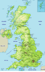
United Kingdom Physical Map
Guide to topography and physical features of Great Britain
379 miles away
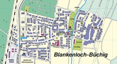
Buechig Map
Street map of town of Buechig
379 miles away
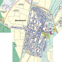
Blankenloch Map
Street map of town of Blankenloch
379 miles away
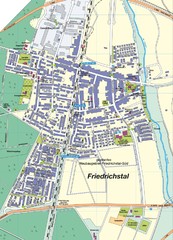
Friedrichstal Map
Street map of town of Friedrichstal
379 miles away
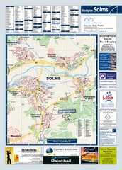
Solms Tourist Map
Tourist map of Solms and surrounding region
380 miles away

