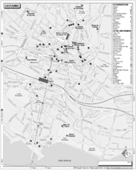
Lausanne Tourist Map
Tourist map of central Lausanne, Switzerland on the shore of Lake Geneva. Shows accommodation...
361 miles away
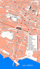
Lausanne Hotel Map
361 miles away
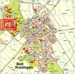
Bad Krozingen Map
Street map of Bad Krozingen
362 miles away
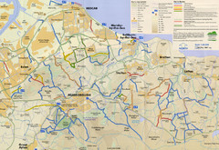
Redcar & Cleveland Horse Riding Routes Map
Horseriding route map of Redcar & Cleveland area, England shows public bridleways, public...
363 miles away
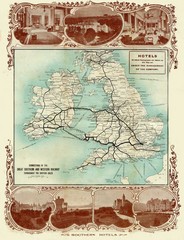
Historic United Kingdom Railroad Map
Guide to the connections of the Great Southern and Western Railways in the British Isles
364 miles away

Bad Durkheim Tourist Map
Tourist map of Bad Durkhiem
364 miles away
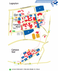
Universitat Dortumund Campus Map
365 miles away
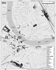
Basel Tourist Map
Tourist map of Basel, Switzerland. Shows museums, accommodations, eating, and drinking spots
366 miles away
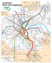
Basel Light Rail and Bus Map
366 miles away
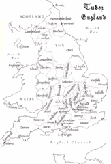
Tudor England Counties Map
Guide to the counties of England under Tudor reign
366 miles away

Weil am Rhein Tourist Map
Tourist street map of Weil am Rhein
366 miles away
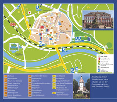
Gengenbach Tourist Map
Tourist map of Gengenbach
367 miles away
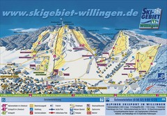
Willingen Ski Trail Map
Trail map from Willingen.
367 miles away
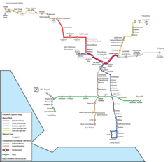
Los Angeles, California Rail System Map
367 miles away
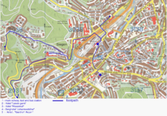
Siegen Street Map
Street map of part of Siegen, Germany. With annotations in English.
367 miles away
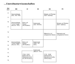
Test Map
367 miles away
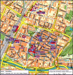
Frieburg Tourist Map
367 miles away
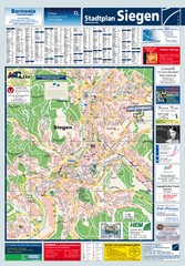
Siegen Tourist Map
Tourist map of Siegen and surrounding region
368 miles away
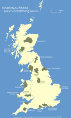
UK National Park Map
Shows locations of all national parks in the United Kingdom.
369 miles away

Annecy Map
370 miles away
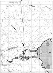
Annecy environs Map
370 miles away

Annecy centre Map
370 miles away
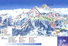
Thollon-les-Memises Ski Trail Map
Trail map from Thollon-les-Memises.
370 miles away
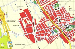
Bad Camberg Map
Street map of town of Bad Camberg
370 miles away
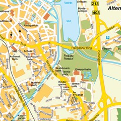
Nordhorn Center Map
Street map of Nordhorn town center
371 miles away
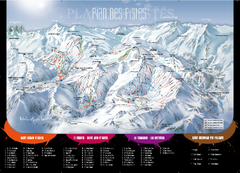
Le Corbier Ski Trail Map
Trail map from Le Corbier.
371 miles away
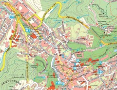
Baden Baden Street Map
Street map of city of Baden Baden
372 miles away
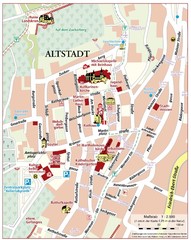
Oppenheim Altstadt Map
Street map of Altstadt area Oppenheim
372 miles away
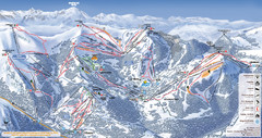
Les Gets Ski Resort Map
Ski Resort map for Les Gets in France. Map shows runs, lifts, mountains, elevations and amenities.
372 miles away

Oppenheim Map
Street map of city of Oppenheim
372 miles away
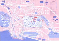
Aix le Bain Map
372 miles away
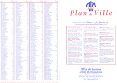
Aix le Bain - index Map
372 miles away
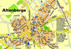
Altenberge Tourist Map
Tourist map of Altenberge
373 miles away
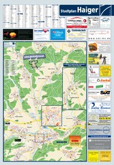
Haiger Tourist Map
Tourist map of Haiger and surrounding area
373 miles away
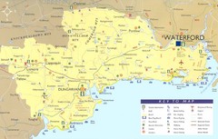
Waterford Tourist Map
This map and key allow you to find a high number of activities and points of interest in this fun...
373 miles away

