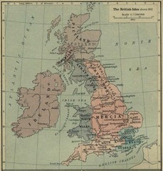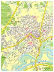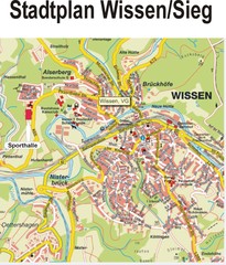
Europe Political Map
343 miles away

Colmar 1 Map
343 miles away
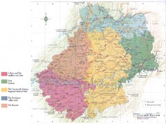
Lot region Map
344 miles away
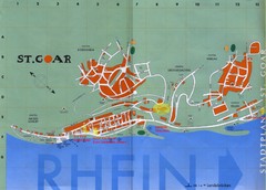
Sankt Goar Town Map
Town map of Sankt Goar, Germany. Sankt Goar is a picturesque little town on the Rhein river, about...
345 miles away
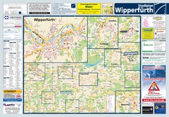
Wipperfuerth Tourist Map
Tourist map of Wipperfuerth and surrounding region
345 miles away
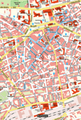
Kaiserslautern Center Map
Street map of Kaiserslautern city center
346 miles away
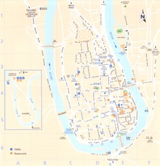
Cahors 1 Map
346 miles away
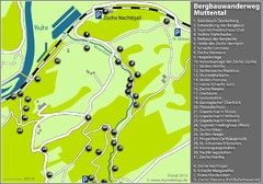
Muttental Bergbauwanderweg Map
346 miles away
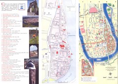
Cahors 2 Map
346 miles away
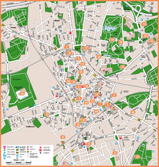
Bochum Tourist Map
Tourist map of central Bochum, Germany. Shows points of interest; numbers correspond to more info...
346 miles away
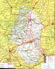
Alsace - Haut Rhin Map
347 miles away
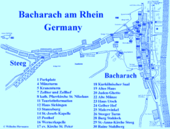
Bacharach Tourist Map
Tourist map of town of Bacharach
347 miles away
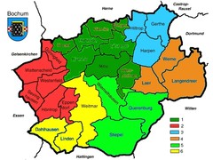
Bochum Stadtteile Map
347 miles away
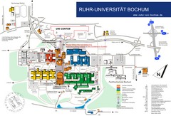
Ruhr-Universitat Campus Map
347 miles away

Alsace - Route du Vin Map
348 miles away

Alsace - Bas Rhin Map
349 miles away

Bad Münster am Stein-Ebernburg Tourist Map
Tourist street map of Bad Münster am Stein-Ebernburg
349 miles away
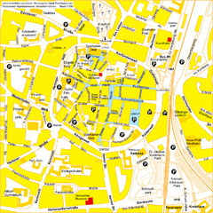
Recklinghausen Map
Street map of city
349 miles away
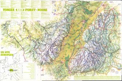
Vosges panorama Map
350 miles away
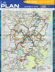
Strasbourg Bus and Tram Map
352 miles away
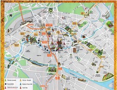
Strassburg Tourist Map
Tourist map of central Strassburg, France. Shows streets, trams, and major buildings. Scanned.
352 miles away
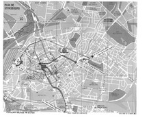
Strasbourg Map
Shows bus and tram itineraries to the Brethren Colleges Abroad office from the train station and...
352 miles away

Strasbourg Map
352 miles away
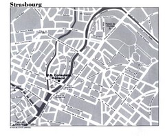
Strasbourg City Map
City map of part of Strasbourg, France. Shows US Consulate.
352 miles away
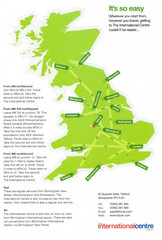
United Kingdom Map
353 miles away
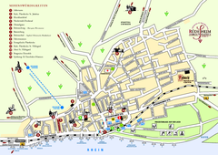
Rüdesheim Tourist Map
Tourist street map of Rüdesheim
354 miles away
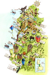
North West England Map
North West England map by Katherine Baxter
354 miles away
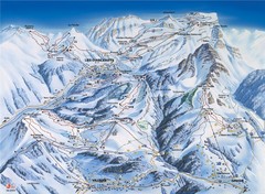
Villars-Gryon Ski Trail Map
Trail map from Villars-Gryon.
356 miles away
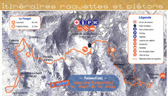
Le Fanget Ski Trail Map
Trail map from Le Fanget, which provides nordic skiing.
357 miles away
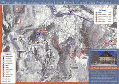
Le Fanget Ski Trail Map
Trail map from Le Fanget, which provides nordic skiing.
357 miles away
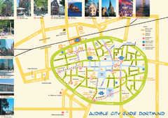
Dortmund Tourist Map
Tourist map of central Dortmund, Germany. Shows photos of points of interest along a walking audio...
357 miles away
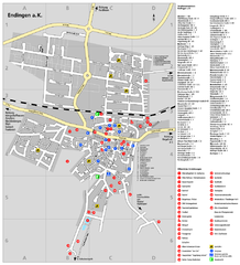
Endingen Tourist Map
Tourist street map of Endingen center
357 miles away
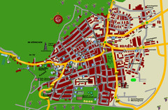
Bad Bergzabern Tourist Map
Tourist street map of Bad Bergzabern
358 miles away
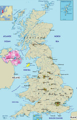
Northern Ireland Political Map
Guide to Northern Ireland and major cities in the United Kingdom
358 miles away

Old European map
359 miles away
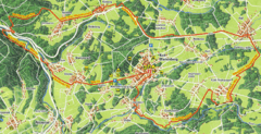
Bad Marienberg Biking Route Map
Map of biking route around Bad Marienberg region
361 miles away
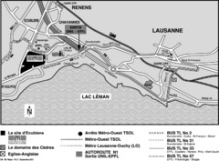
EPFL Lausanne Switzerland Map
Map of the EPFL University and bus routes from Lausanne to get there.
361 miles away

