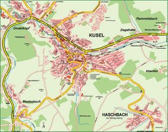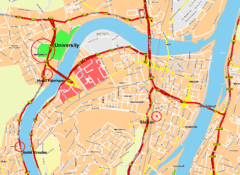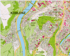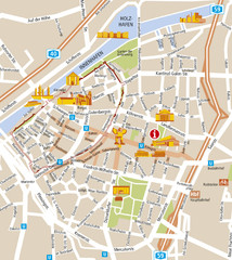
Duisburg City Map
Street map of Duisburg center
327 miles away
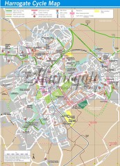
Harrogate Cycling Map
Shows traffic free cycling routes, advisory routes, traffic calmed roads, cycle lanes, bike shops...
327 miles away
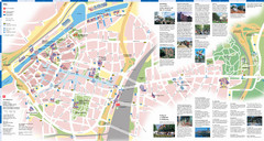
Duisburg Tourist Map
Tourist map of central Duisburg, Germany. Shows points of interest.
328 miles away
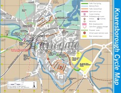
Knaresborough Cycling Map
Shows traffic free cycling routes, advisory routes, traffic calmed roads, cycle lanes, bike shops...
328 miles away
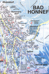
Bad Honnef Map
Street map of Bad Honney
330 miles away
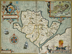
Anglesey Map
330 miles away
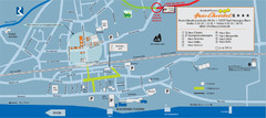
Bad Hönningen Tourist Map
Tourist map of Bad Honningen town center
331 miles away
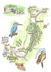
A walk around Bolton Abbey Yorkshire Map
A walk around Bolton Abbey in Yorkshire, Uk. Produced for Dales Life Magazine.
332 miles away
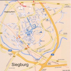
Siegburg Map
Street map of town of Siegburg
332 miles away
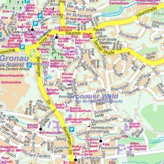
Bergisch Gladbach Map
City street map of Bergisch Gladbach
332 miles away
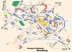
Bergisch Gladbach Tourist Map
Tourist map of Bergisch Gladbach
332 miles away
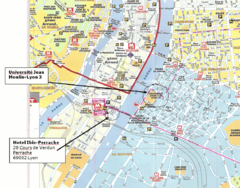
Lyon, France Tourist Map
333 miles away
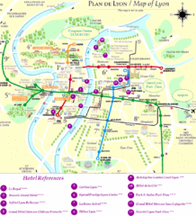
Lyon Tourist Map
333 miles away
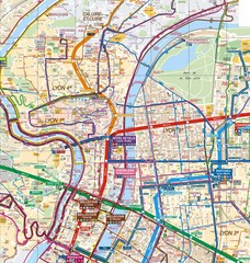
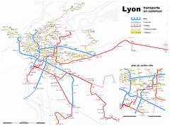
Lyon Map
Street map of Lyon, France. Shows metro lines.
333 miles away
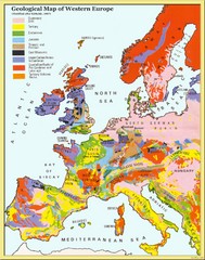
Western Europe Geology Map
Geological map of Western Europe. Modified after Kirkaldy 1967.
334 miles away
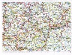
Gerhardsbrunn Map
334 miles away
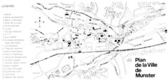
Munster Map
335 miles away
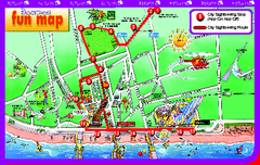
Blackpool Bus Tour Map
Blackpool Bus Tour Map - City Sightseeing
336 miles away
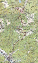
Grand Ballon Race Course Map
Topo course map of the 13.2 km running race to the summit of Grand Ballon
336 miles away

Blackpool Street Map
Street map of city of Blackpool, UK.
336 miles away
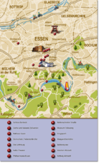
Essen Region Tourist Map
Tourist map of region of Essen
338 miles away
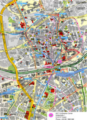
Essen Street Map
Street map of central Essen, Germany
338 miles away
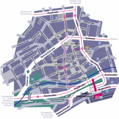
Wuppertal Elberfeld Street Map
Street map of Elberfeld in Wuppertal, Germany. In German.
338 miles away
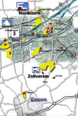
Essen-Nord Map
339 miles away
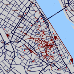
Heisingen Map
Detailed map of the city including parking, streets, and hotels.
339 miles away
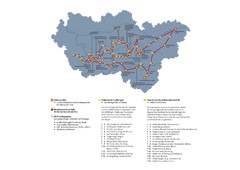
Ruhrgebiet Industriekultur Map
340 miles away
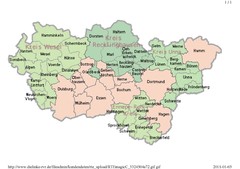
Ruhr RVR Map
340 miles away
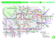
Ruhr VRR Schnellverkehr Map
340 miles away

Ribeauville Map
340 miles away
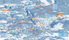
Les Rousses Nordic Ski Trail Map
Trail map from Les Rousses.
341 miles away
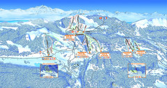
Les Rousses Ski Trail Map
Trail map from Les Rousses.
341 miles away
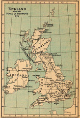
878 England Map
Guide to England after the Peace of Wedmore
342 miles away
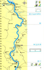
Lot River Canoe Route Map
342 miles away
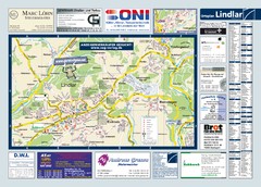
Lindlar Tourist Map
Tourist map of Lindlar and surrounding region
343 miles away
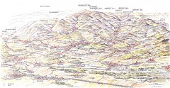
Guebviller valley panorama Map
343 miles away
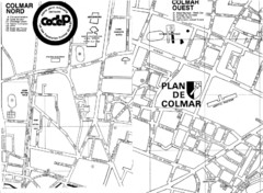
Colmar 2 Map
343 miles away

