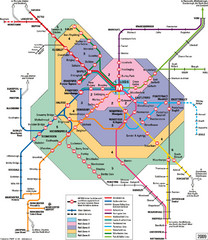
Leeds Metro Train Diagram Map
Metro system map for Leeds, England and surrounding cities.
315 miles away
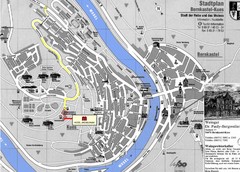
Bernkastel City Map
City map of Bernkastel-Kues with hotels and attractions
315 miles away

Bordeaux Map
315 miles away
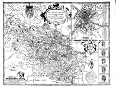
1610 Yorkshire County Historical Map
A 1610 map of Yorkshire Country in the United Kingdom
316 miles away

Rossendale Hospital Map
Campus map of hospital
317 miles away
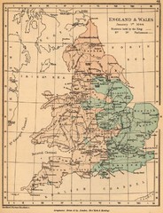
1644 England and Wales Political Map
Map showing districts held by teh King versus the Parliament during the Puritan Revolution
318 miles away
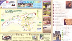
Domme Map
320 miles away
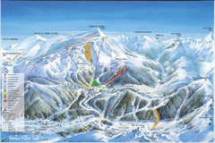
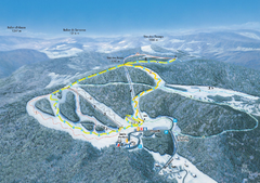
Super Lioran Ski Trail Map
Trail map from Super Lioran.
320 miles away
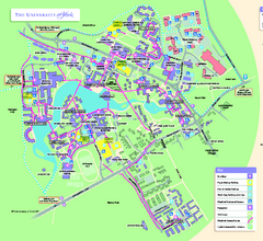
University of York Map - Heslington Campus
Campus map of the University of York Heslington Campus near York, England.
321 miles away
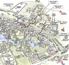
University of York Campus Map
Relevant landmarks and main roads and buildings
321 miles away
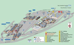
Royal Blackburn Hospital Map
Maps of Royal Blackburn
321 miles away
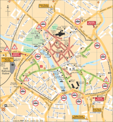
York Tourist Map
322 miles away
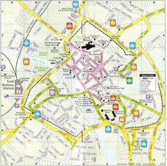
York England Tourist Map
Tourist map of York England showing roads, tourist sites ad railways.
322 miles away
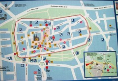
Xanten Tourist Map
Xanten center tourist map
322 miles away
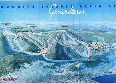
Gérardmer Ski Trail Map
Trail map from Gérardmer.
322 miles away
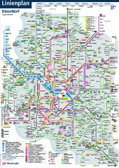
Dusseldorf Public Transport Network Map
Official Rheinbahn map shows municipal-rail, light rail and tramway system, as well as a close-knit...
322 miles away
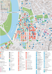
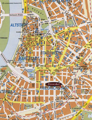
Dusseldorf Tourist Map
Tourist map of central Düsseldorf, Germany. Shows points of interest.
322 miles away
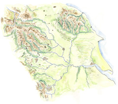
Yorkshire topography Map
323 miles away
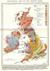
British Isles Geological Map
Old British Isles geological map
323 miles away
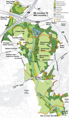
Cuerden Valley Park Map
323 miles away
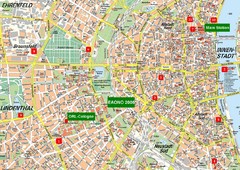
Cologne Map
Street map of Cologne, Germany. In German.
323 miles away
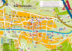
Bad Neuenahr-Ahrweiler Tourist Map
Tourist map of Bad Neuenahr-Ahrweiler
323 miles away
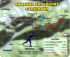
Cornimont Ski Trail Map
Trail map from Cornimont.
323 miles away
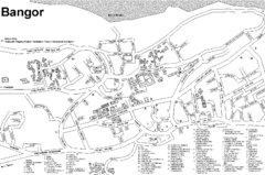
Bangor University Map
Map with numbered index to buildings on the campus of Bangor University in the United Kingdom.
323 miles away
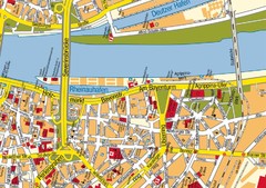
Cologne Center Map
Street map of city center of Cologne
324 miles away
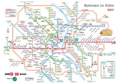
Köln, Nahverkehr Map
324 miles away
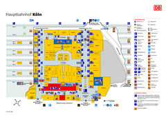
Köln HBf Map
324 miles away
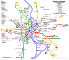
Köln metro Map
324 miles away
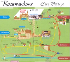
Rocamadour Map
324 miles away
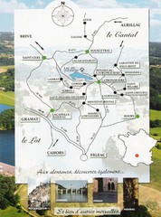
Southern France Tourist Map
Hand drawn map of an area of southern France with pictures and cities shown.
324 miles away
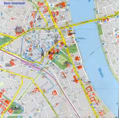
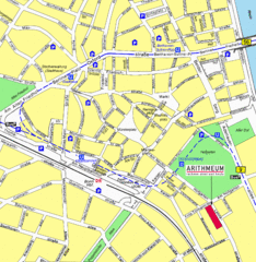
Bonn Tourist Map
Tourist map of inner city Bonn, Germany. Shows major buildings and points of interest.
325 miles away
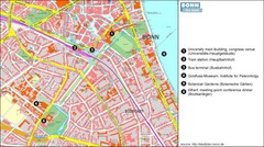
Bonn die Stadt Map
325 miles away
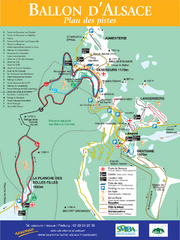
Ballon d’Alsace Ski Trail Map
Trail map from Ballon d’Alsace.
327 miles away

