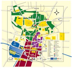
Lincoln Tourist Map
Tourist map of Lincoln, England. Shows points of interest.
269 miles away
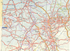
Maastricht Map
Highway map of Maastricht area
269 miles away
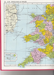
Wales Political Map
Map of Wales and southwest England
269 miles away
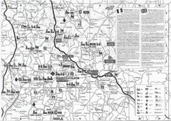
Villebois-Lavalette Tourist Map
Tourist map of Villebois-Lavalette, France and surrounding region. Shows points of interest. In...
269 miles away
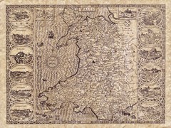
Old Maps - Wales Map
Includes illustrations of individual Welsh county towns.
271 miles away
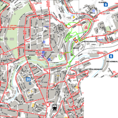
City Center with Bus and Rail Lines Map
272 miles away
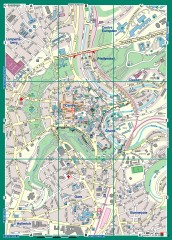
Luxembourg City Street Map
Street map of Luxembourg city and surrounding area.
272 miles away
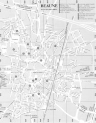
Beaune environs Map
272 miles away
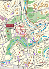
Luxembourg city Map
272 miles away

Beaune index for gen & hist maps Map
272 miles away
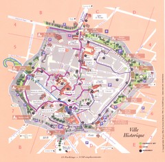
Beaune ville historique Map
272 miles away

Beaune plan general Map
272 miles away

Beaune centre Map
272 miles away
Luxembourg Bike Map
273 miles away
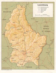
Luxembourg Map
Map of the mountains, cities and roadways of Luxembourg.
273 miles away
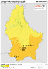
Solar Radiation Map of Luxembourg
Solar Radiation Map Based on high resolution Solar Radiation Database: SolarGIS. On the Solar Map...
273 miles away
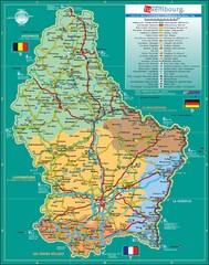
Luxembourg Tourism Map
Tourist Map of Luxembourg showing major roads, railways, and tourist attractions.
273 miles away
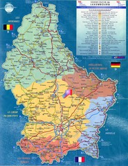
Luxembourg Tourist Map
Tourist map of the country of Luxembourg. Shows points of interest and activity icons. In French...
273 miles away
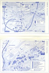
Kirchberg Map
Map of Kirchberg, Luxembourg. In French. Scanned.
273 miles away
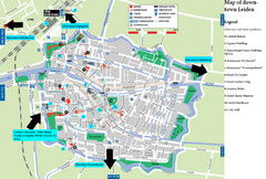
Leiden Tourist Map
Tourist map of downtown Leiden, The Netherlands. Shows some hotels and other points of interest.
273 miles away
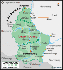
Luxembourg Map
273 miles away
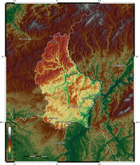
Luxembourg topo Map
273 miles away
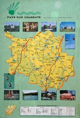
Charente Region Tourist Map
Tourist map of Charente region in southern France. Scanned.
277 miles away
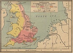
600 British Settlement Map
Map of settlements of Angels, Saxons, Jutes and Native Britons in 600
277 miles away
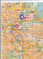
Eindhoven City Map
City map of center of Eindhoven, The Netherlands
278 miles away
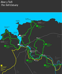
Cardigan Walks Map
Trail map of 6 circular walks in the Cardigan area ranging between four and a half and six and a...
282 miles away

Areas Surrounding Bakewell, UK Map
Cities and areas around Bakewell, United Kingdom
283 miles away
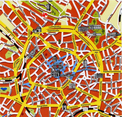
Aachen Center Map
Tourist street map of Aachen city center
284 miles away
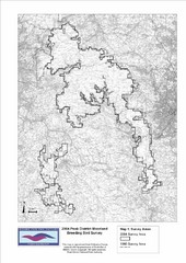
Bird Survey Map
Map of survey areas in the Peak District Moorland. Shows survey areas of 1990 and 2004.
285 miles away
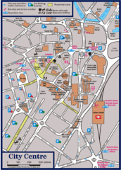
Sheffield Tourist Map
Tourist map of the city center of Sheffield, England.
286 miles away
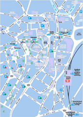
Sheffield City Map
City centre map of Sheffield, England. Shows parking, ATMs, and other points of interest.
286 miles away
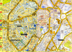
Sheffield City Center Map
286 miles away
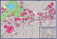
University of Sheffield Map
Campus map of the University of Sheffield in Sheffield, England. Shows parking, bus stops, and...
286 miles away
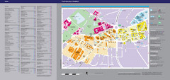
The University of Sheffield Reference Map
The University of Sheffield, United Kingdom
286 miles away
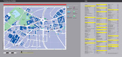
University of Sheffield Map
Campus map
286 miles away
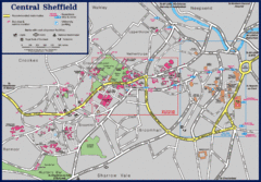
Central Sheffield Map
Map shows central Sheffield, England area. Bus stops and University of Sheffield parking areas...
286 miles away
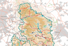
Peak District National Park Map
National Park map.
288 miles away
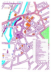
Central Rotherham Map
288 miles away
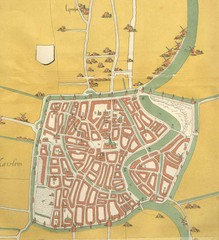
Haarlem City Map
Haarlem city center map from 1550
288 miles away
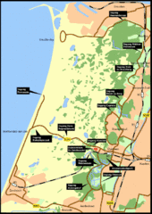
Nationaal Park Zuid-Kennemerland Map
Park overview map of Zuid-Kennemerland National Park (NPZK), Netherlands
289 miles away

