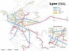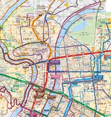
Lyon Map
Street map of Lyon, France. Shows metro lines.
306 miles away
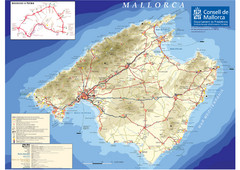
Mallorca Tourist Map
Tourist map of the island of Mallorca, Spain in the Mediterranean. from the Consell de Mallorca...
307 miles away
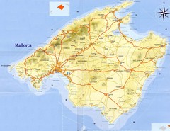
Mallorca Tourist Map
Tourist map of island of Mallorca. Shows roads and some points of interest. Scanned.
307 miles away
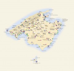
Mallorca Tourist Map
Tourist map of Mallorca shows towns, major roads information centers, medical centers, and other...
307 miles away
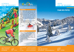
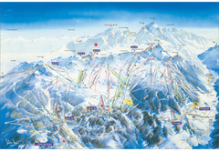
Col de Rousset Ski Trail Map
Trail map from Col de Rousset.
308 miles away
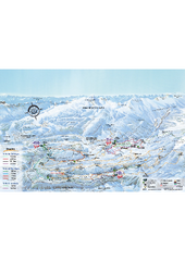
Herbouilly Ski Trail Map
Trail map from Herbouilly.
310 miles away
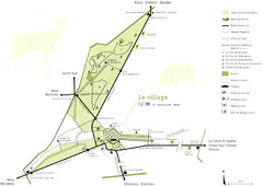
Chateau Chambord Estate Map
Estate map of the famous Chateau Chambord. Largest Chateau in the Loire River Valley.
311 miles away
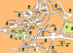
Signes Map
313 miles away
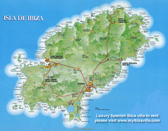
Ibiza Island Map
Map of island with detail of main towns and cities
314 miles away
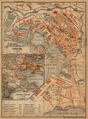
Toulon Map
The following maps are from "Southern France Including Corsica; Handbook for Travellers"...
317 miles away
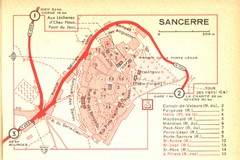
Sancerre Town Map
Town center of Sancerre, France. From Penguin edition, pages 13-16
317 miles away
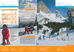
La Jarjatte Ski Trail Map
Trail map from La Jarjatte, which provides downhill and nordic skiing. It has 5 lifts servicing 6...
318 miles away
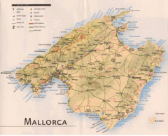
Mallorca Map
319 miles away
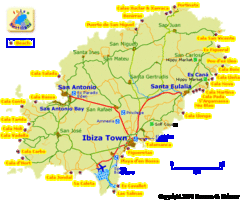
Ibiza Beach Tourist Map
319 miles away
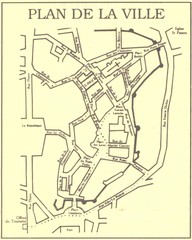
Vannes Map
321 miles away
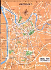
Grenoble Map
328 miles away
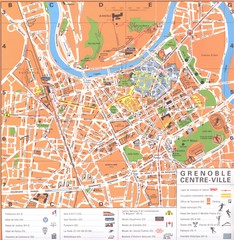
Grenoble centre-ville Map
328 miles away
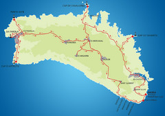
Minorca Cycling Map
328 miles away
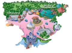
Cartoon Map of Disney
329 miles away
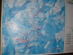
Station du Haut-Folin ? Nordic Ski Trail Map
Trail map from Station du Haut-Folin, which provides nordic skiing. This ski area has its own...
332 miles away
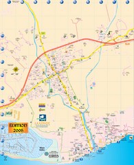
La Londe Tourist Map
Tourist map of La Londe, France. Shows services, businesses, and points of interest.
332 miles away
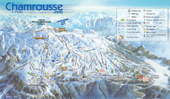
Chamrousse Ski Trail Map
Trail map from Chamrousse.
333 miles away
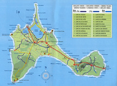
Formentera Guide Map
334 miles away
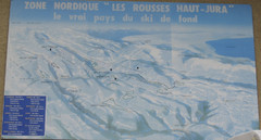
La Vallee des jeux Les Rousses Haut—Jura...
Trail map from La Vallee des jeux.
334 miles away
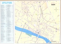
Gien Map
335 miles away
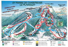
La Planolet Ski Trail Map
Trail map from La Planolet.
337 miles away
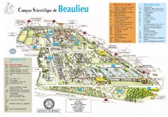
Campus Scientifique de Beaulieu Map
University of Rennes Science campus map.
337 miles away
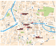
Rennes Street Map
Street map of the city center of Rennes, France. Shows building names and parking. Some points of...
337 miles away
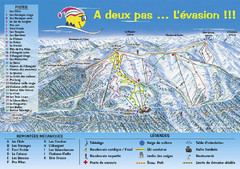
Chabanon Ski Trail Map
Trail map from Chabanon.
339 miles away
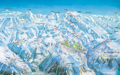
Vaujany Ski Trail Map
Ski trail map of Vaujany, France ski region. Shows lift systems from Vaujany, Oz En Oisans Station...
341 miles away
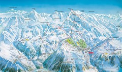
Grands Rousses (L’alpe d’Huez) Ski...
Trail map from Grands Rousses (L’alpe d’Huez), which provides downhill skiing.
341 miles away
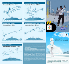
Grands Rousses (L’alpe d’Huez) Nordic...
Trail map from Grands Rousses (L’alpe d’Huez), which provides downhill skiing.
341 miles away
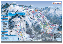
Les Deux Alpes Ski Trail Map
Trail map from Les Deux Alpes.
342 miles away
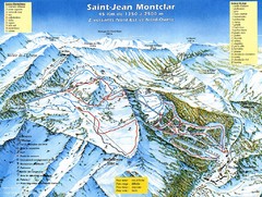
Saint-Jean Montclar Ski Trail Map
Trail map from Saint-Jean Montclar.
343 miles away
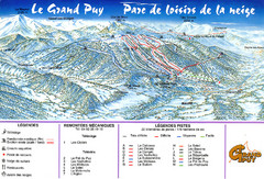
Le Grand Puy Ski Trail Map
Trail map from Le Grand Puy.
344 miles away
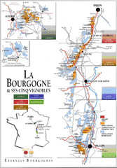
Burgandy Region Wine Districts Map
Shows wine districts of La Bourgogne region, France from Dijon to Macon.
344 miles away
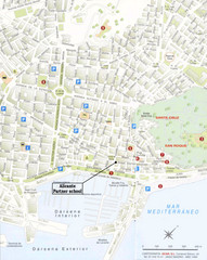
Alicante City Map
Street map for Alicante, Spain with parking and places of interest identified.
344 miles away
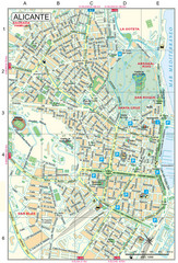
Alicante Tourist Map
Tourist map of central Alicante, Spain. Shows points of interest.
344 miles away

