
Brescia centro Map
544 miles away

Brescia Map
544 miles away
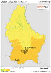
Solar Radiation Map of Luxembourg
Solar Radiation Map Based on high resolution Solar Radiation Database: SolarGIS. On the Solar Map...
544 miles away
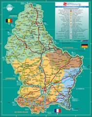
Luxembourg Tourism Map
Tourist Map of Luxembourg showing major roads, railways, and tourist attractions.
544 miles away
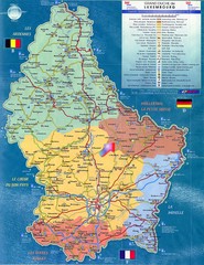
Luxembourg Tourist Map
Tourist map of the country of Luxembourg. Shows points of interest and activity icons. In French...
544 miles away
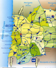
Lourinha Tourist Map
Lourinha, Portugal Tourist map showing cities, roads and some tourist sites/amenities.
544 miles away
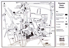
Tiverton Town Center Map
Black and white map shows major streets in Tiverton, Devon.
545 miles away

St. Moritz Tourist Map
Tourist map of St. Moritz, Switzerland. Shows summer and winter points of interest.
545 miles away
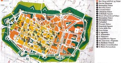
Lucca Italy Tourist Map
545 miles away
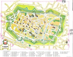
Lucca Map
545 miles away
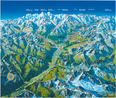
Engadin St. Moritz Region Summer Map
Summer panoramic tourist map of Engadin region of Switzerland. Includes St. Moritz, Piz Bernina...
545 miles away

Lucca Map
545 miles away
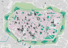
Lucca Tourist Map
Tourist map of walled town of Lucca, Italy. Shows major buildings.
545 miles away
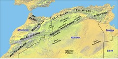
North Africa Mountain Ranges Map
Map of the mountain ranges of Northern Africa
545 miles away
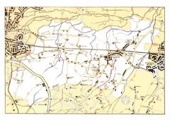
Capel Footpaths Map
Map of Footpaths in Capel Parish
546 miles away
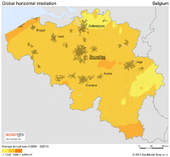
Solar Radiation Map of Belgium
Solar Radiation Map Based on high resolution Solar Radiation Database: SolarGIS. On the Solar Map...
546 miles away
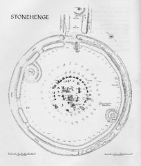
Stonehenge Map
Hand drawn map of Stonehenge showing stone circle and surrounding area
548 miles away
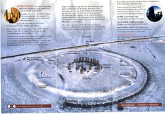
Stonehenge Brochure Map
Scan of official brochure of Stonehenge.
548 miles away
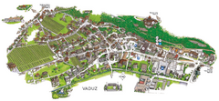
Vaduz Town Map
Tourist map of town of Vaduz, Liechtenstein. Panoramic view shows buildings and streets.
548 miles away
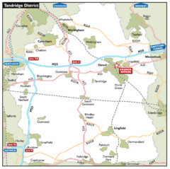
Tandridge District, England Region Map
548 miles away
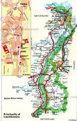
Liechtenstein Principality Map
549 miles away
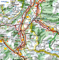
Liechtenstein road Map
550 miles away
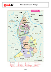
Liechtenstein Regional Map
Country map with detail of regional divides
550 miles away
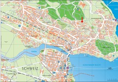
Konstanz City Map
550 miles away
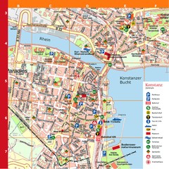
Konstanz Tourist Map
Tourist map of Konstanz
550 miles away
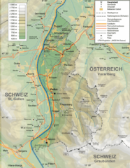
Liechtenstein topography Map
550 miles away
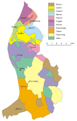
Liechtenstein Tourist Map
550 miles away
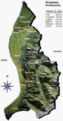
Liechtenstein Tourist Map
550 miles away
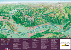
Liechtenstein Tourist Map
Tourist map of the country of Liechtenstein. Panoramic view shows all towns, trails, and mountains.
550 miles away
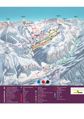
Malbun Ski Trail Map
Ski trail map of area surrounding Malbun, Liechtenstein. Also shows walking routes.
551 miles away

Lauterbad, Germany Map
551 miles away

Disabled Accessible Places in Maidstone, Kent Map
A guide to places in Maidstone that are wheelchair accessible.
551 miles away
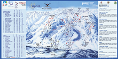
Aprica Ski Trail Map
Trail map from Aprica, which provides downhill skiing. This ski area has its own website.
551 miles away
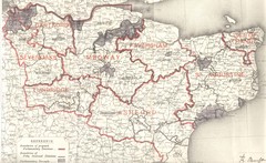
Kent, England County Map
552 miles away
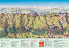
Davos Schatzalp Summer Trail Map
Trail map showing summer trails and lifts at Davos Schatzalp in Davos, Switzerland.
552 miles away
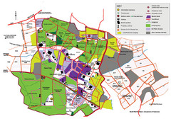
2008 Glastonbury Festival Guide Map
552 miles away
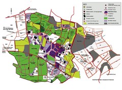
Glastonbury, England Festival Park Map
The park layout in Glastonbury, England
552 miles away
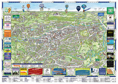
Woking Tourist Map
Tourist map of Woking, Surrey, England. Oblique/3D town map with ads.
553 miles away
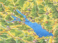
Lake Konstanz Map
553 miles away
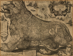
Jodocus Hondius’ Map of Belgium as a Lion...
Jodocus Hondius’ Map depicting Belgium as a Lion.
553 miles away

