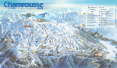
Chamrousse Ski Trail Map
Trail map from Chamrousse.
347 miles away
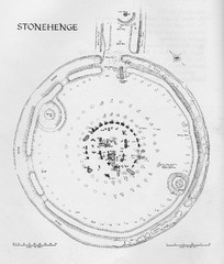
Stonehenge Map
Hand drawn map of Stonehenge showing stone circle and surrounding area
349 miles away
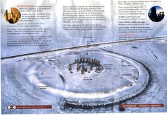
Stonehenge Brochure Map
Scan of official brochure of Stonehenge.
349 miles away
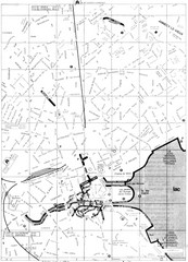
Annecy environs Map
350 miles away

Annecy centre Map
350 miles away

Annecy Map
350 miles away
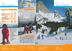
La Jarjatte Ski Trail Map
Trail map from La Jarjatte, which provides downhill and nordic skiing. It has 5 lifts servicing 6...
351 miles away
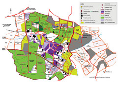
2008 Glastonbury Festival Guide Map
352 miles away
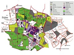
Glastonbury, England Festival Park Map
The park layout in Glastonbury, England
352 miles away
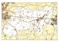
Capel Footpaths Map
Map of Footpaths in Capel Parish
355 miles away
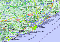
Barcelona Surrounding Area Road Map
Major roads, airports and towns surrounding Barcelona, Spain
355 miles away
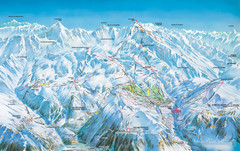
Vaujany Ski Trail Map
Ski trail map of Vaujany, France ski region. Shows lift systems from Vaujany, Oz En Oisans Station...
356 miles away
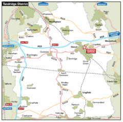
Tandridge District, England Region Map
356 miles away
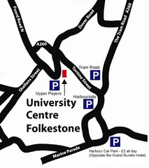
University Centre at Folkestone Map
357 miles away
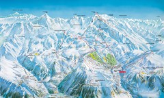
Grands Rousses (L’alpe d’Huez) Ski...
Trail map from Grands Rousses (L’alpe d’Huez), which provides downhill skiing.
358 miles away

Grands Rousses (L’alpe d’Huez) Nordic...
Trail map from Grands Rousses (L’alpe d’Huez), which provides downhill skiing.
358 miles away
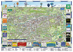
Woking Tourist Map
Tourist map of Woking, Surrey, England. Oblique/3D town map with ads.
358 miles away
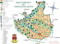
Mapa turistico de Cogeces del Monte Map
mapa turistico de Cogeces del Monte, Valladolid, Spain
358 miles away
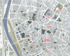
Maria de Molino Student Residence Location Map
This map shows the location with respect to the faculties of Valladolid University.
359 miles away
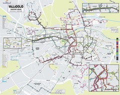
Valladolid Bus Map
359 miles away
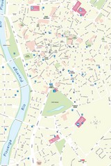
Valladolid Tourist Map
Tourist map of central Valladolid, Spain. Shows points of interest.
359 miles away
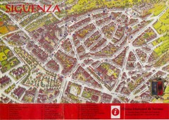
Siguenza Tourist Map
Official Tourism Map of Siguenza, Spain showing points of interest in the city, roads and buildings.
360 miles away
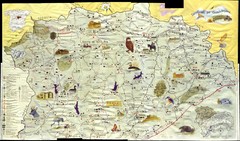
Siguenza Old Map
360 miles away
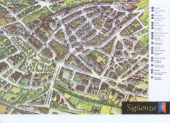
Siguenza Tourist Map
Tourist map of Siguenza, Spain. Shows points of interest.
360 miles away
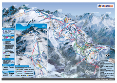
Les Deux Alpes Ski Trail Map
Trail map from Les Deux Alpes.
361 miles away
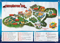
Chessington Zoo Map
361 miles away

Disabled Accessible Places in Maidstone, Kent Map
A guide to places in Maidstone that are wheelchair accessible.
362 miles away
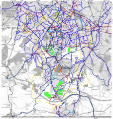
Cheam Bus Route Map
Olympic Bid 2016 - Bus Route Map
362 miles away
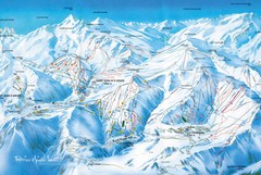
St Jean D'arves Piste Ski Map
363 miles away

Le Grand Bornand Ski Trail Map
Trail map from Le Grand Bornand.
364 miles away
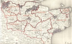
Kent, England County Map
364 miles away
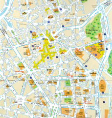
Lille Center Map
Street map of Lille city center
365 miles away
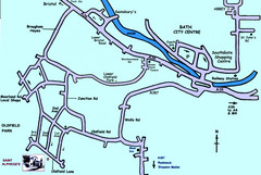
Bath City, England Map
Map from the centre of Bath, visitor information and streets.
365 miles away
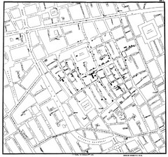
Cholera Outbreak of London Map
Map used to analyze the cholera outbreak in London, specifically South Hampton in 1853
366 miles away
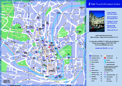
Bath City Map
366 miles away
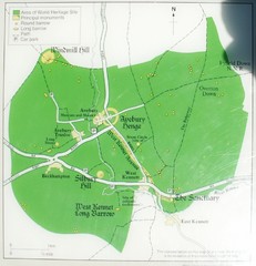
Avebury World Heritage Site Map
Map of Avebury, England showing World Heritage Site and surroundings. From photo.
366 miles away
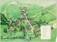
Avebury Tourist Map
Tourist map of Avebury, England. Shows Avebury Henge. From photo.
366 miles away
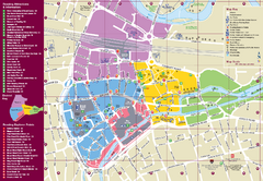
Reading Tourist Map
Tourist map of city center of Reading, England. Shows attractions and other tourist points of...
366 miles away

