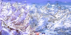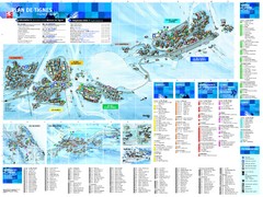
Tignes Ski Resort Town Map
Map of the ski resort town of Tignes, France. Shows residences, hotels, services, clubs, and other...
391 miles away
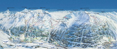
Val Cénis Ski Trail Map
Trail map from Val Cénis.
392 miles away
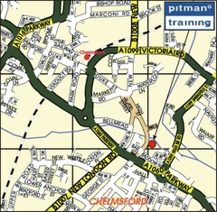
Chelmsford Map
393 miles away
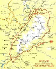
Tour du Mont Blanc Map
Beginner's Guide to the Tour du Mont Blanc
393 miles away

Western Strasbourg Tourist Map
394 miles away
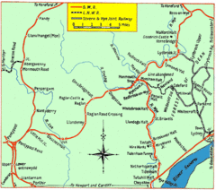
Monmouth and Wye Valley Railways Map
Map showing the 3 major railway lines and the cities with stops of Monmouth, UK.
394 miles away
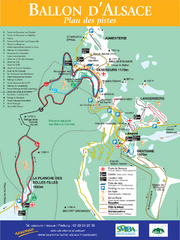
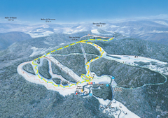
Ballon d’Alsace Ski Trail Map
Trail map from Ballon d’Alsace.
394 miles away
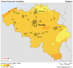
Solar Radiation Map of Belgium
Solar Radiation Map Based on high resolution Solar Radiation Database: SolarGIS. On the Solar Map...
396 miles away
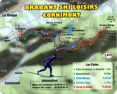
Cornimont Ski Trail Map
Trail map from Cornimont.
396 miles away
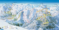
Pra Loup Ski Trail Map
Trail map from Pra Loup.
397 miles away
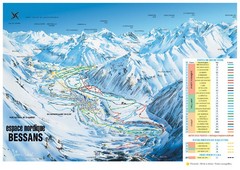
Bessans Ski Trail Map
Trail map from Bessans, which provides downhill and nordic skiing.
397 miles away
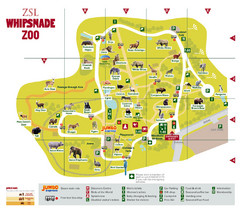
Whipsnade Zoo Map
397 miles away
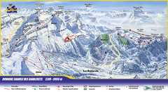
Les Diablerets Ski Trail Map
Trail map from Les Diablerets.
398 miles away
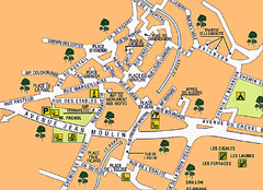
Signes Map
398 miles away
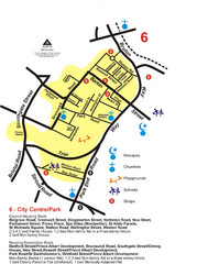
Gloucester City Park Map
398 miles away
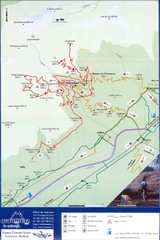
Ovronnaz Tourist Map
Tourist map of Ovronnaz, Switzerland. Shows biking routes, restaurants, and public transport.
398 miles away
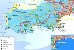
Swansea Area Tourist Map
399 miles away
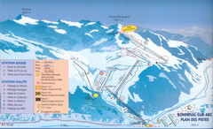
Bonneval sur Arc Ski Trail Map
Trail map from Bonneval sur Arc.
400 miles away
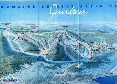
Gérardmer Ski Trail Map
Trail map from Gérardmer.
400 miles away
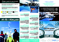
Sainte-Anne la Condamine Ski Trail Map
Trail map from Sainte-Anne la Condamine.
400 miles away
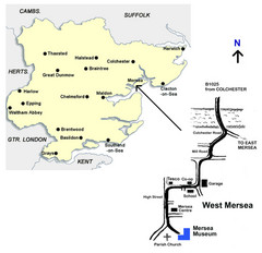
West Mersea Island Museum Map
401 miles away
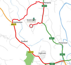
Hartpury College Directions Map
Map of location of Hartpury College campus and surrounding roads.
401 miles away
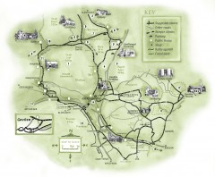
Abergavenny Cycle Map
Shows suggested easy cycling routes, other roads, steeper climbs, parking, public houses, shops...
401 miles away
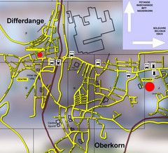
Differdange Bus Map
401 miles away
Super Sauze Ski Trail Map
Trail map from Super Sauze.
401 miles away
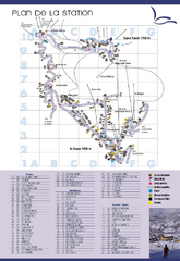
Super Sauze Ski Trail Map
Trail map from Super Sauze.
401 miles away
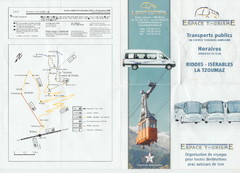
La Tzoumaz Public Transportation Map (French)
402 miles away
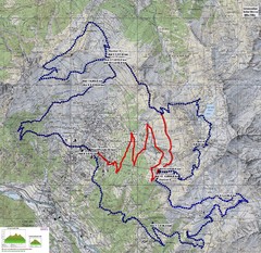
Verbier 60k Course Profile Map
Course Map and Elevation Profile for the Verbier Ultra Run 60k and 20k routes.
402 miles away
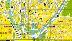
South Bruges Map
Map of the southern part of Bruges city
402 miles away
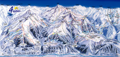
Verbier—Les quatre vallées (Nendaz...
Trail map from Verbier—Les quatre vallées (Nendaz, Veysonnaz), which provides downhill...
402 miles away
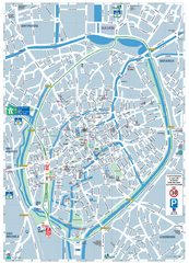
Brugge Tourist Map
Tourist map of Brugges, Belgium. Shows buildings and streets.
402 miles away
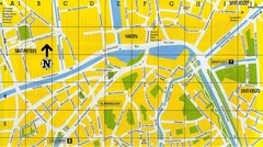
North Bruges Map
Map of northern part of Bruges city
403 miles away

Gstaad Mountain Rides Ski Trail Map
Trail map from Gstaad Mountain Rides.
404 miles away

Haute Route Ski Tour Map - Verbier Variant
Ski tour topo route map of the European Alps' most famous alpine ski tour connecting two...
404 miles away
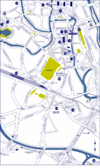
Ghent City Map
City map of Ghent with attractiosn
405 miles away
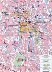
Ghent Walking Tour Map
Tourist and walking tour map of Ghent, Belgium. Shows points of interest.
405 miles away
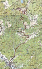
Grand Ballon Race Course Map
Topo course map of the 13.2 km running race to the summit of Grand Ballon
406 miles away

