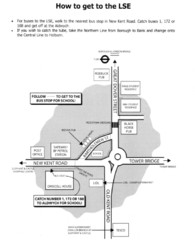
London School of Economics Bus Stop Map
How to get to the London School of Economics.
373 miles away
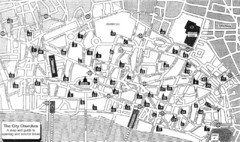
London Church Map
Map of the City of London showing 47 churches and 9 Towers
374 miles away
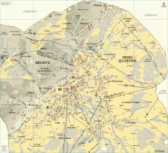
Megeve Village Map
Detailed map of Megève village, France shows roads, building outlines, and in-town ski lifts.
374 miles away
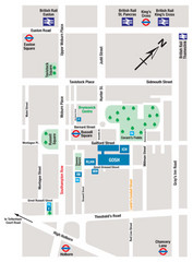
Great Ormond Street Hospital for Children Map
Great Ormond Street Hospital for Children NHS Trust (GOSH)
374 miles away
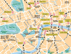
London Bahnhöfe Map
374 miles away
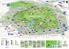
Regent's Park Map
Birds-eye view of the Regent's Park in London
374 miles away
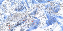
Combloux Trail Map
Ski trail map
375 miles away
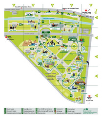
London Zoo Map
375 miles away
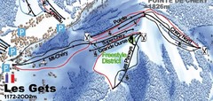
Les Gets Ski Trail Map
Trail map from Les Gets.
375 miles away
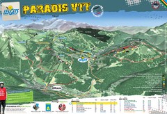
Les Gets Trail Map
Mountain biking trail map
375 miles away
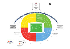
UK Wembley Stadium Map
375 miles away
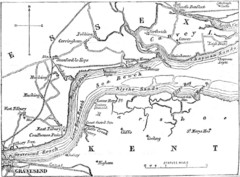
River Thames Map
Map of Thames from Gravesend to Canvey Island
376 miles away
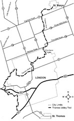
Thames Valley Trail Map
376 miles away
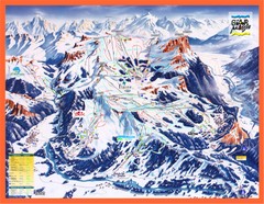
Flaine Map
Guide to Ski Resorts in the French Alps near Flaine
376 miles away
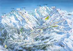
Méribel-Mottaret Ski Run Map
Ski Resort map for Méribel and Mottaret ski resorts including ski runs, lifts and mountain...
376 miles away
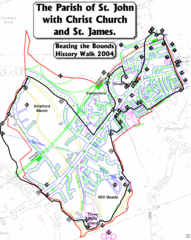
The Parish of St. John's with Christ Church...
A rough history of the Stratford, England and a continuation of the age old tradition of "...
376 miles away

Thanet Isle Map
1809 Guide to Thanet Isle in Britain
376 miles away
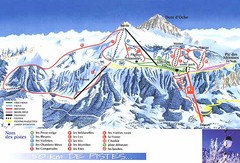
Thollon-les-Memises Ski Trail Map
Trail map from Thollon-les-Memises.
376 miles away
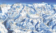
Morzine Ski Trail Map
Ski trail map of Morzine and surrounding ski areas.
376 miles away
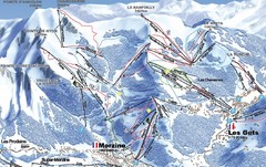
Morzine Morzine Ski Trail Map
Trail map from Morzine.
376 miles away
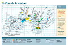
Orcières Village Ski Trail Map
Trail map from Orcières.
376 miles away
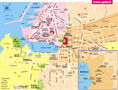
Marseille Tourist Map
Tourist map of central Marseille, France. Inset shows surrounding area. Shows points of interest.
377 miles away
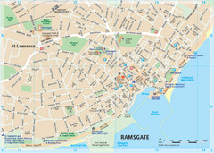
Ramsgate Tourist Map
Near Kent, England
377 miles away
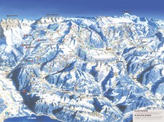
Portes du Soleil Ski Trail Map
Official ski map of the Portes du Soleil region. Winter 2007-2008 key figures: 278 ski-runs...
377 miles away
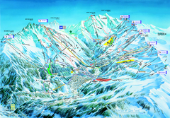
Les 3 Vallées Méribel Ski Trail Map
Trail map from Les 3 Vallées.
378 miles away
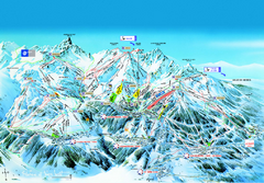
Les 3 Vallées Courchevel Detail Ski Trail Map
Trail map from Les 3 Vallées.
378 miles away
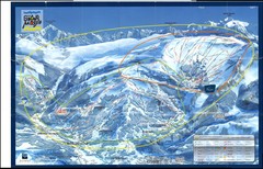
Grand Massif, Flaine (france) Map
378 miles away
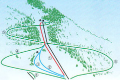
Granier Ski Trail Map
Trail map from Granier.
378 miles away
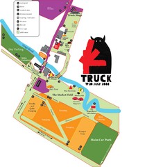
Steventon, South Oxfordshire Tourist Map
378 miles away
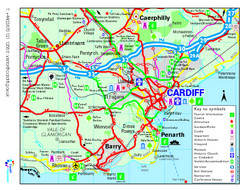
Cardiff Region Tourist Map
Regional tourist map of area surrounding Cardiff, UK. Shows all attractions.
378 miles away
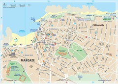
Margate TouristMap Map
379 miles away

Broadstairs Tourist Map
379 miles away
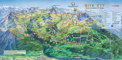
Courcheval Mountain Biking Map
Panoramic downhill mountain biking trail map of Courcheval, France in Vanoise National Park.
379 miles away
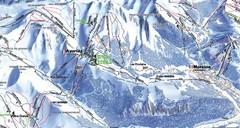
Avoriaz Ski Trail Map
Trail map from Avoriaz.
379 miles away
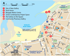
Margate Tourist Map
Tourist map of Margate, England.
379 miles away
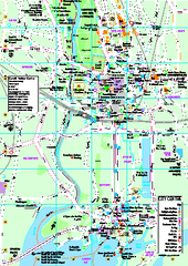
Cardiff City Map
Tourist map of city center of Cardiff, UK. Shows points of interest
380 miles away
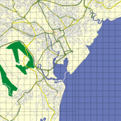
Cardiff Street Map
Street map of Cardiff, Wales area.
380 miles away
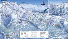
La Plagne La Plagne and Champagny-En-Vanoise Ski...
Trail map from La Plagne.
380 miles away
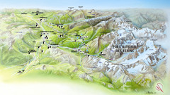
Ecrins National Park Map
Panoramic map of Parc National des Ecrins, France
381 miles away


