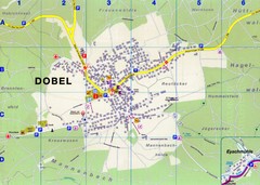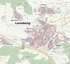
Wuerttembergische Landeskirche Map
Karte der Evang. Landeskirche in Wuerttemberg, The Evangelical-Lutheran Church in Wuerttemberg
354 miles away
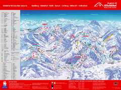
Kitzbuhel Ski Trail Map
Trail map from Kitzbuhel.
355 miles away
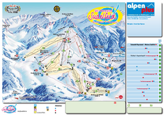
Sudelfeld Ski Trail Map
Trail map from Sudelfeld.
355 miles away
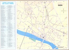
Gien Map
356 miles away
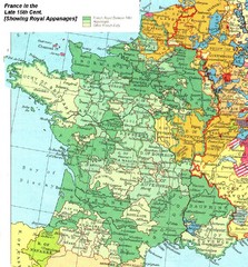
France Late 15th Century Map
France in the Late 15th Century (showing Royal Appanages)
356 miles away
La Vallee des jeux Les Rousses Haut—Jura...
Trail map from La Vallee des jeux.
357 miles away
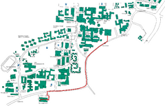
Universität Stuttgart Campus Map
In Stuttgart, Germany
357 miles away
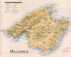
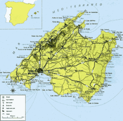
Mallorca Tourist Map
357 miles away
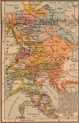
Germany Italy 1803 Map
Germany and Italy in 1803 after the Principle Decree of the Imperial Deputation
357 miles away
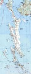
Cres & Losinj Island Map
Tourist map of island of Cres and island of Losinj, Croatia.
357 miles away

Cres Island Map
Road map of island of Cres, Croatia. Biggest island in Croatia.
357 miles away
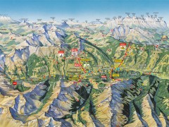
Saalbach Hinterglemm Summer Hiking Map
Summer panorama map of Saalbach and Hinterglemm Austria area. Shows trails, lifts, huts, and peaks.
358 miles away
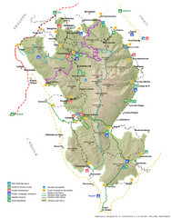
Parco Nazionale della Majella Map
General map of Majella National Park (Parco Naz. della Majella) in Italy. In Italian.
359 miles away
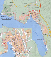
Cres City Map
City map of Cres, Island of Cres, Croatia.
359 miles away
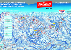
Wilder Kaiser Ski Trail Map
Trail map from Wilder Kaiser – Gosau, Scheffau, Ellmau.
360 miles away
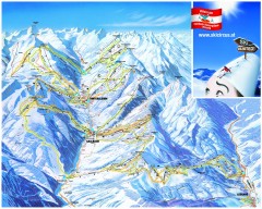
Saalbach and Hinterglemm Ski Trail map
Official ski trail map of Saalbach and Hinterglemm area from the 2006-2007 season. In German.
360 miles away

Stuttgart, Nahverkehr Map
360 miles away
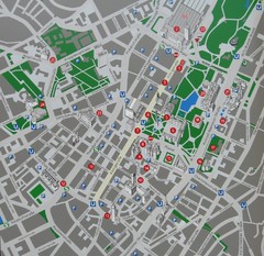
Stuttgart Tourist Map
Tourist street map of Stuttgart center
360 miles away
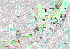
Stuttgart Street Map
Street map of Stuttgart, Germany. Show major buildings and public transport routes.
360 miles away
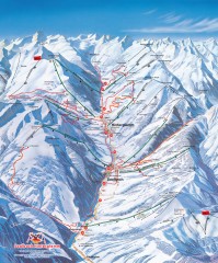
Saalbach and Hinterglemm Winter walks map
Panoramic map showing winter walks in the Saalbach and Hinterglemm Austria area.
360 miles away
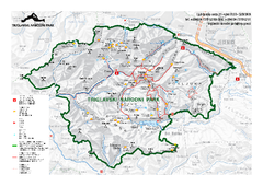
Triglav National Park Map
Triglav National Park is the only Slovenian national park. The park was named after Triglav, the...
361 miles away
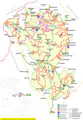
Parco Nazionale della Majella Trail Map
Trail map of Majella National Park (Parco Naz. della Majella) in Italy. Indicates under revision...
361 miles away
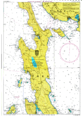
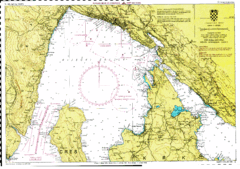
Cres hajózási Map
362 miles away
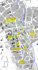
Augsburg Tourist Map
Tourist street map of downtown Augsburg
363 miles away
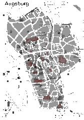
Augsburg Tourist Map
Shows central Augsburg and its sights.
364 miles away
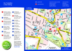
Bad Aibling Tourist Map
Tourist parking map of downtown Bad Aibling
364 miles away
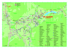
St. Ulrich am Pillersee Map
Village map of St. Ulrich am Pillersee, Austria
365 miles away
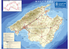
Mallorca Tourist Map
Tourist map of the island of Mallorca, Spain in the Mediterranean. from the Consell de Mallorca...
365 miles away
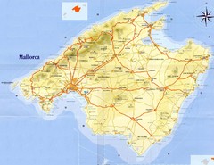
Mallorca Tourist Map
Tourist map of island of Mallorca. Shows roads and some points of interest. Scanned.
365 miles away
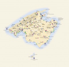
Mallorca Tourist Map
Tourist map of Mallorca shows towns, major roads information centers, medical centers, and other...
365 miles away
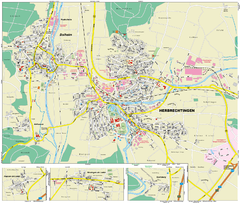
Herbrechtingen Map
Street map of city of Herbrechtingen
365 miles away
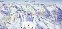
Bareges/La Mongie Ski Trail Map
Trail map from Bareges/La Mongie.
365 miles away
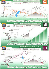
Beaufort Cycling Route Map
Three routes drawn and elevation gains shown for each cycling route in Beaufort, France's...
365 miles away
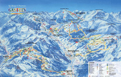
Gastein Ski Trail Map
Ski trail map of the Gastein Valley in Austria. Shows lift systems from Bad Gastein, Bad...
366 miles away
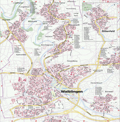
Waiblingen Map
City map of Waiblingen and surrounding region
366 miles away
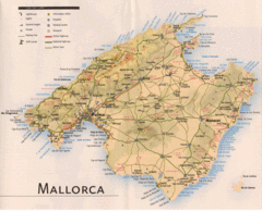
Mallorca Map
366 miles away
Rijeka hajózási Map
366 miles away

