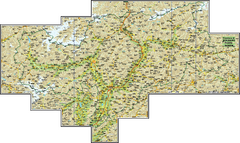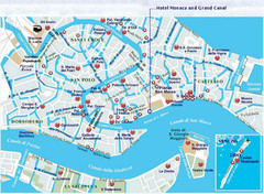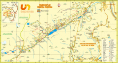
Ultental Deutschnonsberg St. Walburg Tourist Map
Tourist map of the southern Tyrol region around Ultental, Deutschnonsberg, and St. Walburg/ S...
264 miles away
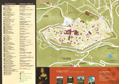
Urbino Map
264 miles away
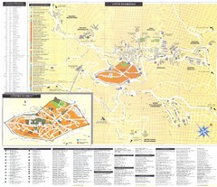
Urbino Map
264 miles away
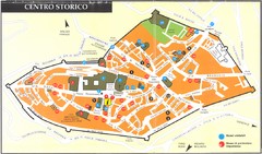
Urbino centro Map
264 miles away
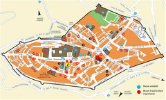
Urbino centro storico Map
264 miles away
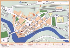
Fermignano Map
265 miles away
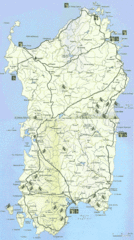
Sardinia Mountain Biking Trail Map
Trail map of mountain biking trails on the island of Sardinia, Italy. Shows entire island. Scanned.
265 miles away
Cala Gonone Tourist Map
Tourist map of Cala Gonone, Sardinia and Dorgali, Sardinia. Shows points of interest. Scanned...
265 miles away
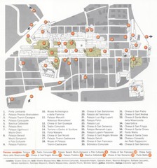
Cagli Map
265 miles away
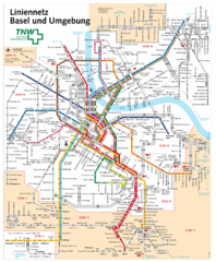
Basel Light Rail and Bus Map
266 miles away
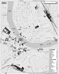
Basel Tourist Map
Tourist map of Basel, Switzerland. Shows museums, accommodations, eating, and drinking spots
266 miles away
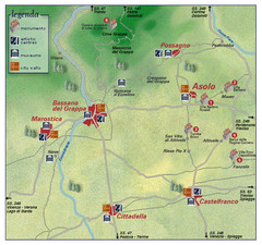
Asolo Italy Area Map
Tourist map of Asolo, Italy surroundings. Shows monuments, art centers, museums, and city walls.
266 miles away
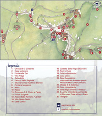
Asolo Town Map
Tourist map of Asolo, Italy. Shows points of interest, panoramic site, and touristic information...
266 miles away
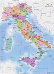
Italy regions map
268 miles away

Weil am Rhein Tourist Map
Tourist street map of Weil am Rhein
268 miles away
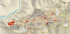
Assisi Tourist Map
Tourist map of Assisi, Italy
268 miles away

Assisi Map
268 miles away

Winterthur City Map
270 miles away

Central Italy Aerial Guide Map
270 miles away

Bevagna Map
270 miles away
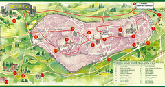
Spello Tourist Map
Tourist map of city of Spello, Italy. Shows points of interest. In English and Italian.
272 miles away

Spello Map
272 miles away
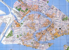
Venice Italy Tourist Map
Map of Venice, Italy showing tourist sites, plazas and churches.
272 miles away
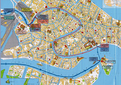
Venice Tourist Map
272 miles away
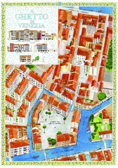
the old jewish ghetto of venezia Map
a bird's eye view of the ghetto of venezia.
272 miles away
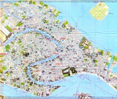
Venice Street Map
Detailed street map of Venice, Italy showing major landmarks, canals, and buildings.
273 miles away
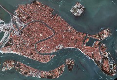
Venice Aerial Map
Aerial map of Venice, Italy. Shows points of interest.
273 miles away
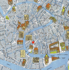
Venice Guide Map
273 miles away

Montefalco Map
273 miles away

Dijon centre Map
273 miles away
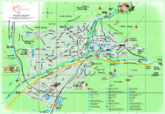
Bolzano Map
273 miles away
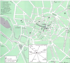
Dijon Map
273 miles away
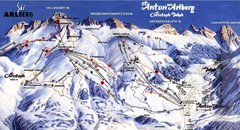
Arlberg – St Anton Ski Trail Map
Trail map from Arlberg – St Anton.
273 miles away
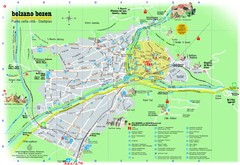
Bolzano Tourist Map
Tourist map of Bolzano, Italy.
274 miles away
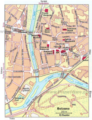
Bolzano centro Map
274 miles away
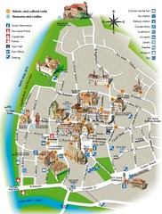
Bolzano tourist map
274 miles away
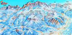
Latemar (Val di Fiemme, Obereggen) Ski Center...
Trail map from Latemar (Val di Fiemme, Obereggen), which provides downhill and nordic skiing. This...
275 miles away
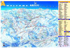
St Anton Region Ski map
Panoramic ski map covers St. Anton, St. Christoph, St. Jakob, Stuben, Zurs, Zug, Lech, and Oberlech...
275 miles away

