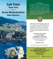
Salt Point State Park Map
Map of park with detail of trails and recreation zones
79 miles away
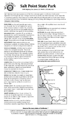
Salt Point State Park Campground Map
Map of campground region of park with detail of trails and recreation zones
79 miles away
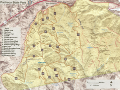
Pacheco State Park Trail Map
Map of park with details of different trails
80 miles away
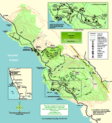
Salt Point State Park Map
Topo park map of Salt Point State Park and Kruse Rhododendron State Reserve. Shows trails by use...
81 miles away

Pacheco State Park Map
Map of park with detail of trails and recreation zones
81 miles away
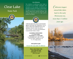
Clear Lake State Park Map
Map of park with detail of trails and recreation zones
82 miles away
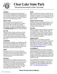
Clear Lake State Park Campground Map
Map of park with detail of trails and recreation zones
82 miles away

San Luis Reservoir State Recreation Area Map
Map of park and reservoir with detail of trails and recreation zones
83 miles away
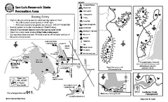
San Luis Reservoir State Recreation Area...
Map of campground region of park and reservoir with detail of trails and recreation zones
83 miles away
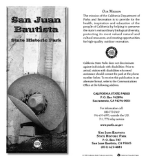
San Juan Bautista State Historic Park Map
Map of park with detail of trails and recreation zones
83 miles away
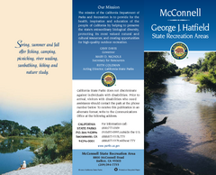
McConnell State Recreation Area Map
Map of park with detail of trails and recreation zones
83 miles away
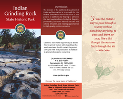
Indian Grinding Rock State Historic Park Map
Map of park with detail of trails and recreation zones
83 miles away
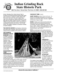
Indian Grinding Rock State Historic Park...
Map of campground region of park with detail of trails and recreation zones
83 miles away

Turlock Lake State Recreation Area Campground Map
Map of campground region of recreation area with detail of trails and recreation zones
84 miles away
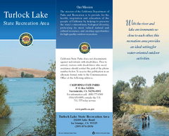
Turlock Lake State Recreation Area Map
Map of recreation area with detail of trails and recreation zones
85 miles away
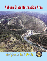
Auburn State Recreation Area Map
Map of park with detail of of trails and recreation zones
87 miles away

Fremont Peak State Park Map
Map of park with detail of trails and recreation zones
89 miles away
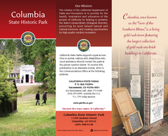
Columbia State Historic Park Map
Map of park with detail of trails and recreation zones
91 miles away
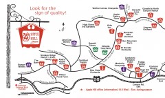
Apple Hill tourist map
Map of Apple Hill growers in Camino, California. Shows vineyards and orchards.
93 miles away
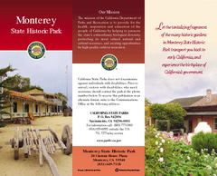
Monterey State Historic Park Map
Map of park with detail of trails and recreation zones
95 miles away
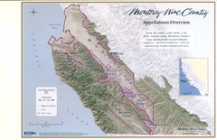
Monterey Wine Country: Appellation Overview Map
The Monterey region is world-famous for unparalleled scenic beauty, golf, and cuisine. Millions of...
95 miles away
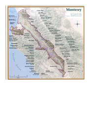
Monterey Wine Country: Appellation Overview Map
The Monterey region is world-famous for unparalleled scenic beauty, golf, and cuisine. Millions of...
95 miles away
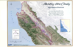
Monterey Wine Country: Appellation Overview Map
The Monterey region is world-famous for unparalleled scenic beauty, golf, and cuisine. Millions of...
95 miles away
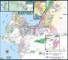
Monterey Area Map
Shows Monterey / Carmel area. Has legend on it with route highlighted to Naval housing.
96 miles away
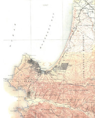
Monterey Map
96 miles away

Toro County Park Map
Trails of Toro County Park, Salinas Ca.
97 miles away

Laguna Seca Raceway Map
Overview map of the Laguna Seca Raceway. Shows track, parking, and facilities.
97 miles away
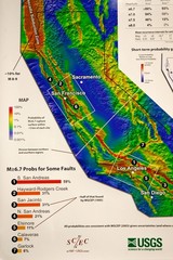
California Faults and Earthquake Probablity...
The Uniform California Earthquake Rupture Forecast map hangs at a press conference where...
98 miles away
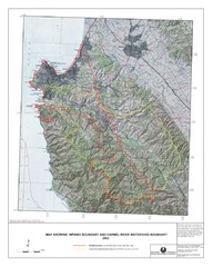
Monterey Peninsula and Carmel River Watershed...
This map contains a digital raster graphic topographic base map of the Monterey Peninsula Water...
98 miles away

Mi-Wok OHV Trail Map
Trail Maps for Off Road Bikes in Stanislaus National Forest
99 miles away
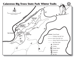
Calaveras Big Trees State Park Winter Map
Map of park with detail of winter ski trails and recreation zones
100 miles away
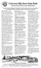
Calaveras Big Trees State Park Map
Map of park with detail of trails and recreation zones
100 miles away
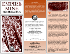
Empire Mine State Historic Park Map
Map of park with detail of trails and recreation zones
102 miles away
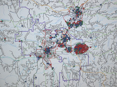
Nevada County Economic Resource Council Activity...
The ERC supports many different businesses in western Nevada County. We provide business assistance...
102 miles away
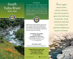
South Yuba River State Park Map
Map of park with detail of trails and recreation zones
103 miles away
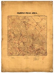
Murphy Peak Area Survey Map
Topographic geology map of Murphy Peak area, California. L.S.J.U. Geological Survey, 1911...
104 miles away
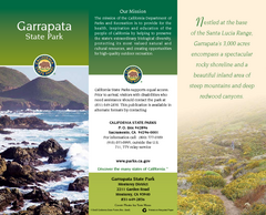
Garrapata State Park Map
Map of park with detail of trails and recreation zones
104 miles away
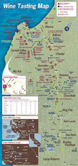
Monterey area wineries map
Map of wineries with public tasting rooms in the Monterey area
105 miles away
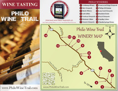
Philo Wine Map
Shows wineries great for wine tasting in the Anderson Valley along Route 128 in Philo California.
106 miles away
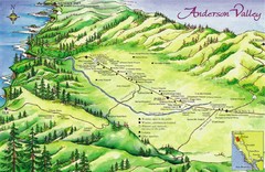
Anderson Valley Wine Map
Shows wineries/vineyards in Anderson Valley, California along Route 128 from Navarro, California to...
107 miles away

