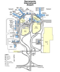
Sacramento International Airport Map
57 miles away
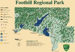
Foothill Regional Park Map
Park map of Foothill Regional Park in Sonoma County, California. Shows trails and 3 lakes.
57 miles away

Ano Nuevo State Park Map
Map of park with detail of trails and recreation zones
57 miles away
Pigeon Point Light Station State Historic Park Map
Map of park with detail of trails and recreation zones
57 miles away
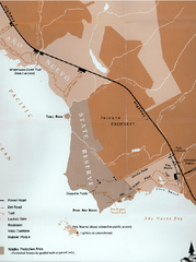
Ano Nuevo State Park Map
Map of park with detail of trails and recreation zones
57 miles away
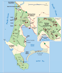
Bodega Bay Park Map
Park map of the Sonoma Coast State Beach park lands in Bodega Bay, California. Shows roads, trails...
59 miles away
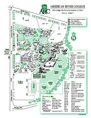
American River College Campus Map
American River College Campus Map. Shows all buildings.
61 miles away
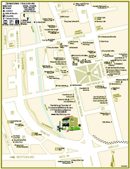
Downtown Healdsburg, California Map
Tourist maps of downtown Healdsburg, California. First map shows restaurants, galleries, wine...
62 miles away
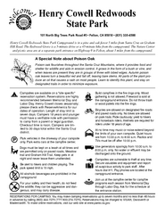
Henry Cowell Redwoods State Park Campground Map
Map of campground region of park with detail of trails and recreation zones
62 miles away
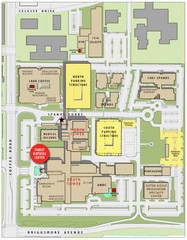
Memorial Medical Center Map
63 miles away
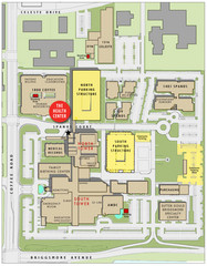
Memorial Medical Center Map
63 miles away
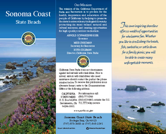
Sonoma Coast State Beach Map
Map of beach and park with detail of trails and recreation zones
63 miles away
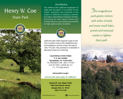
Henry W. Coe State Park Map
Map of park with detail of trails and recreation zones
64 miles away
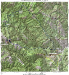
Henry Willard Coe State Park Topographical Map
Topographical map of Henry Willard Coe State Park. Includes roads, elevation information and some...
64 miles away
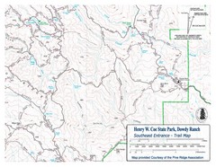
Henry W. Coe State Park, Dowdy Ranch Map
Henry W. Coe State Park Southeast Entrance Trail Map.
66 miles away
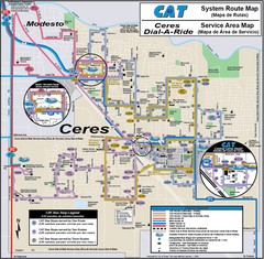
Ceres, CA Transportation Map
66 miles away
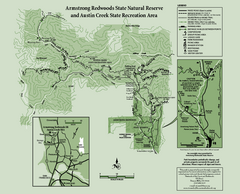
Armstrong Redwoods State Natural Reserve Map and...
Park map of Armstrong Redwoods State Natural Reserve and Austin Creek State Recreation Area in...
67 miles away
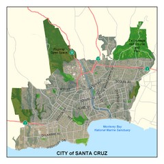
Santa Cruz City Limits Map
Map shows the city limits boundries of Santa Cruz, California
68 miles away
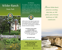
Wilder Ranch State Park Map
Map of park with detail of trails and recreation zones
68 miles away

Santa Cruz, California City Map
69 miles away
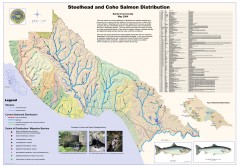
Steelhead and Coho Salmon Distribution Map...
Shows the current distribution of steelhead and resident rainbow trout and coho salmon in Santa...
69 miles away
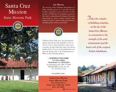
Santa Cruz Mission State Historic Park Map
Map of park and mission
69 miles away
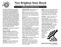
New Brighton State Beach Campground Map
Map of campground region of beach/park with detail of trails and recreation zones
69 miles away
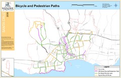
Santa Cruz, CA Bike Map
69 miles away
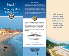
Seacliff & New Brighton State Beaches Map
Map of beaches and parks with detail of trails and recreation zones
69 miles away
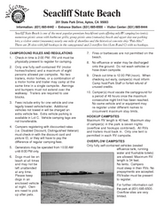
Seacliff State Beach Campground Map
Map of campground region of beach and park with detail of trails and recreation zones
69 miles away
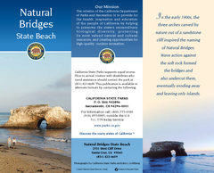
Natural Bridges State Beach Map
Map of beach and park with detail of trails and recreation zones
70 miles away
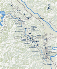
Dry Creek Valley Wineries, California Map
Map of wineries in Dry Creek Valley, California. Shows wineries and roads.
71 miles away
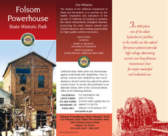
Folsom Powerhouse State Historic Park Map
Map of park with detail of trails and recreation zones
71 miles away
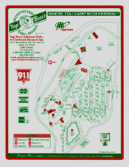
Jellystone Park at Glebrook Resort & Spa Map
71 miles away
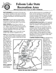
Folsom Lake State Recreation Area Campground Map
Map of park with detail of trails and recreation zones
72 miles away
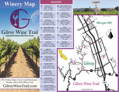
Gilroy Wine Tasting Map
72 miles away
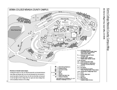
Sierra College Campus Map
Sierra College Campus Map. All buildings shown.
74 miles away
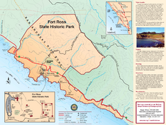
Fort Ross State Historic Park Map
Map of park with detail of trails and recreation zones
74 miles away
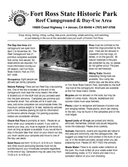
Fort Ross State Historic Park Campground Map
Map of park with detail of trails and recreation zones
74 miles away
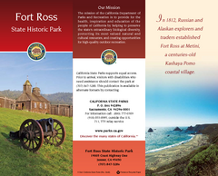
Fort Ross State Historic Park Map
Map of park with detail of trails and recreation zones
74 miles away
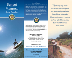
Sunset & Manresa State Beaches Map
Map of beaches and parks with detail of trails and recreation zones
75 miles away
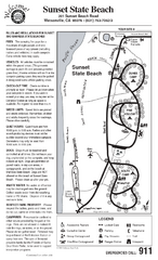
Sunset State Beach Campground Map
Map of park with detail of trails and recreation zones
76 miles away
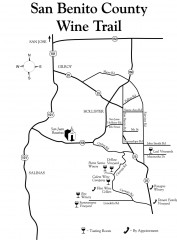
San Benito County Wine Trail Map
Wineries in the San Benito County, California area.
78 miles away


