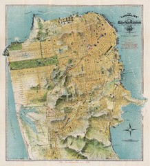
Chevalier map of San Francisco (1912)
Breathtaking map of San Francisco in 1912 by August Chevalier from the BIG Map Blog by way of DRMC.
25 miles away
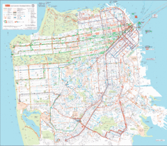
San Francisco Public Transportation map
Transit Muni system map shows all bus, subway metro, cable car, and streetcar routes.
25 miles away
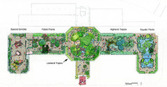
Conservatory of Flowers Museum Map
Map of the Conservatory of Flowers in Golden Gate Park, San Francisco, California
25 miles away
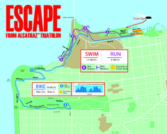
Escape From Alcatraz Triathlon Course Map 2009
Official course map of the 2009 Escape From Alcatraz Triathlon in San Francisco
25 miles away
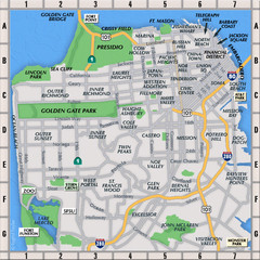
San Francisco Neighborhoods Map
25 miles away
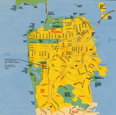
San Francisco City Map
City map of San Francisco with Lowell High School highlighted
26 miles away
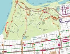
Baker Beach, San Francisco Tourist Map
26 miles away
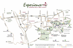
Livermore Valley Wine Map
Map showing the wineries in the Livermore Valley of California.
26 miles away
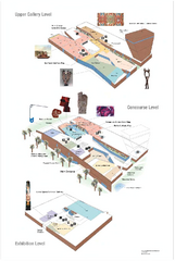
de Young Museum Map
Floorplan of the de Young Museum of Art in Golden Gate Park, San Francisco, California
26 miles away
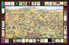
Livermore Winery Tour Map
Livermore Valley Wine Map & Visitors Guide - A great source for information about the Livermore...
26 miles away
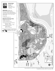
San Francisco Botanical Garden Map
Overview map of the San Francisco Botanical Garden in Golden Gate Park, San Francisco
26 miles away

Mount Whitney Route Map
26 miles away
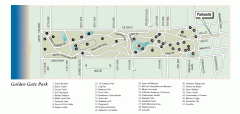
Golden Gate Park tour map
Map of Golden Gate Park in San Francisco in California. Shows all points of interest, picnic areas...
26 miles away
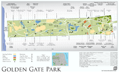
Golden Gate Park Map
Overview map of Golden Gate Park in San Francisco, CA
26 miles away
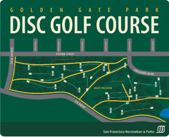
Golden Gate Park Disc Golf Course Map
Disc golf course map of 18-hole course in Golden Gate Park, San Francisco, CA. Officially opened...
26 miles away
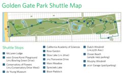
Golden Gate Park Shuttle Map
Shows shuttle stops in Golden Gate Park, SF.
26 miles away
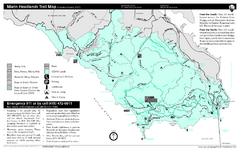
Marin Headlands Trail Map
Trail map of Marin Headlands in Marin County, California. Shows trails with distances by use type...
27 miles away
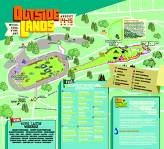
Outside Lands Festival Map 2010
Official Outside Lands Festival map 2010. Held Aug 14-15, 2010 in Golden Gate Park, San Francisco
27 miles away
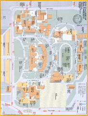
City College of San Francisco - Ocean Campus Map
City College of San Francisco - Ocean Campus Map. All buildings shown.
27 miles away
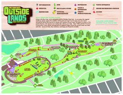
San Francisco Outside Lands Music Festival Map
Official 2008 map of the Outside Lands Music & Arts Festival in Golden Gate Park, San Francisco...
27 miles away
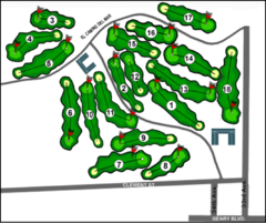
Lincoln Park Golf Course Map
27 miles away
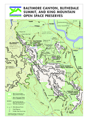
Blithedale Summit Open Space Preserve Map
Trail map of Blithedale Summit Open Space Preserve, Baltimore Canyon Open Space Preserve, and King...
27 miles away
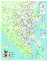
Marin Bicycle Map - Side A
Bike route map of Marin County, California. Shows primary and secondary road routes, paved and...
27 miles away
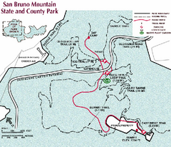
San Bruno Mountain Park Map
Park map of San Bruno Mountain State and County Park. Shows trails in northwest part of park.
28 miles away
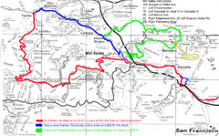
Alpine Dam Seven Sisters Road Bike Route Map...
Road biking route map for the classic Alpine Dam/Seven Sisters loop in Marin County from San...
28 miles away
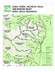
Loma Verde, Pacheco Valley, Lucas Valley and...
28 miles away
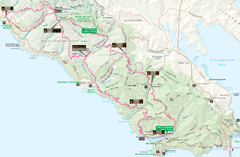
Headlands 50K Map (for 2011 race and future races)
Course For 2011 Headlands 50K
28 miles away
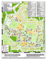
San Francisco State University Map
Campus map of San Francisco State University. All areas shown.
28 miles away
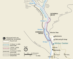
Muir Woods Trail Map
Shows paved loop walks and extended unpaved trails in Muir Woods National Monument, California
28 miles away
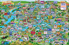
California Delta Boaters Map & Visitors Guide
Map of the California Delta, the Most Current, Legible and Unique Delta Navigation Map to date. Our...
28 miles away
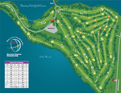
Harding Park Golf Course Map
Course map of Harding Park Golf Course in San Francisco, CA. 18 hole, par 70 course
28 miles away
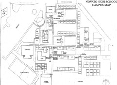
Novato High School Campus Map
29 miles away
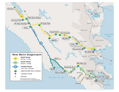
West Marin Bus Map
Bus route map of West Marin Stagecoach. Shows routes to Inverness, Point Reyes Station, Olema...
29 miles away
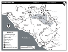
Muir Woods Trail Map
Black and white trail map of Muir Woods National Monument and surrounding Mount Tamalpais State...
29 miles away
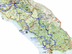
Golden Gate Headlands 50k Course Map
Here is a map of the 31-mile course for the Golden Gate Headlands: USATF National 50K Trail...
29 miles away
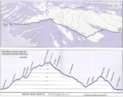
Dipsea Race Course Map
Course map of the annual Dipsea Trail Run Race. Shows birds-eye view and elevation profile of the...
29 miles away
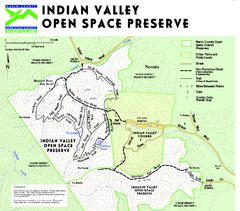
Indian Valley Open Space Preserve Map
29 miles away
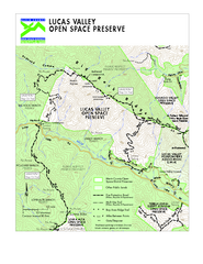
Lucas Valley Open Space Preserve Map
29 miles away
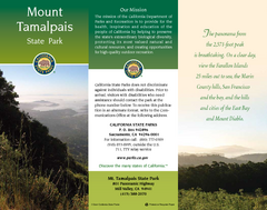
Mount Tamalpais State Park Map
Map of park with detail of trails and recreation zones
29 miles away
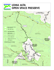
Loma Alta Preserve Map
Topographical trail map of Loma Alta Preserve in Marin County, California
30 miles away

