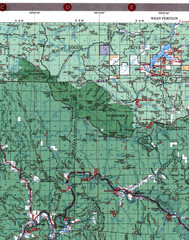
Klamath National Forest Map
Visitor Map of Klamath, western part of the park. Includes all roads, lakes, rivers and camping...
276 miles away
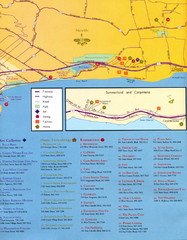
Santa Barbara Map
278 miles away

Santa Barbara, California City Map
278 miles away
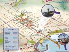
Santa Barbara Car Free Map
Shows bicycle and public transportation routes in downtown Santa Barbara, CA. Shows points of...
278 miles away
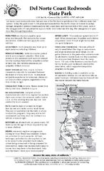
Del Norte Coast Redwoods State Park Campground Map
Map of park with detail of trails and recreation zones
279 miles away

El Presidio de Santa Barbara State Park Map
279 miles away

Santa Barbara Area Map
279 miles away
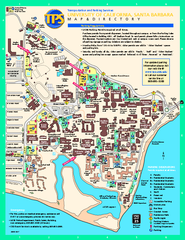
University of California at Santa Barbara Map
University of California at Santa Barbara Campus Map. All buildings shown.
279 miles away
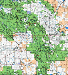
Clip10 Map
Visitor Maps of Modoc National Park, eastern part of the park includes all roads, camping areas...
283 miles away
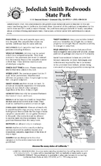
Jedediah Smith Redwoods State Park Campground Map
Map of campground region of park with detail of trails and recreation zones
284 miles away
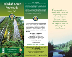
Jedediah Smith Redwoods State Park Map
Map of park with detail of trails and recreation zones
284 miles away
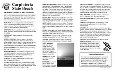
Carpinteria State Beach Campground Map
Map of park with detail of trails and recreation zones
286 miles away
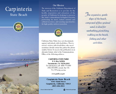
Carpinteria State Beach Map
Map of beach with detail of trails and recreation zones
286 miles away
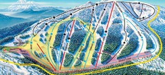
Mt. Ashland Ski Trail Map
Ski trail map of Mt. Ashland ski area near Ashland, Oregon
287 miles away
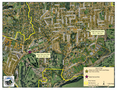
Ojai Park and Rides Map
City map of Ojai, California. Shows park & rides for commuters.
290 miles away
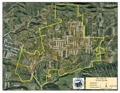
Ojai Street Map
Street map of Ojai, California.
290 miles away

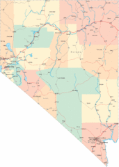
Nevada Map
292 miles away
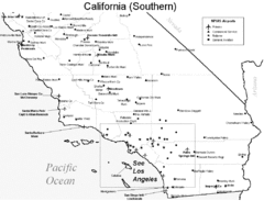
Southern California Airports Map
294 miles away
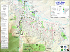
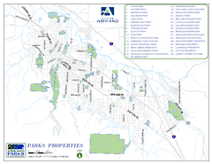
Ashland Trails Map
Trail map of Ashland, Oregon. Shows bicycle routes and public parks and trails.
294 miles away
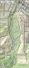
Lithia Park Trail Map
Trail map of Lithia Park in town of Ashland, Oregon. Adjacent to the Oregon Shakespeare Festival.
294 miles away

BTS Route Map
Map of BTS bus routes throughout Klamath Falls
295 miles away
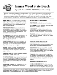
Emma Wood State Beach Campground Map
Map of campground region of park with detail of trails and recreation zones
297 miles away
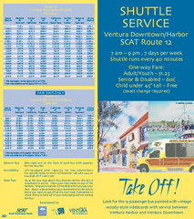
SCAT Shuttle Map: Ventura Harbor to Downtown...
Shuttle bus route map of SCAT Shuttle between Ventura Harbor and downtown Ventura, California...
298 miles away

San Buenaventura Map
299 miles away
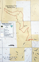
Grizzly Peak Trail Map
Topographic trail map of Grizzly Peak near Ashland, Oregon. Shows trails and distances. From...
299 miles away
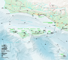
Channel Islands National Park Official Park Map
Official NPS map of Channel Islands National Park in California. Channel Islands National Park...
300 miles away
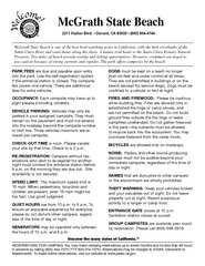
McGrath State Beach Campground Map
Map of beach and park with detail of trails and recreation zones
303 miles away
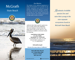
McGrath State Beach Map
Map of beach and park with detail of trails and recreation zones
303 miles away

Bear Creek Greenway Map
Trail map of the Bear Creek Greenway connecting Central Point to Ashland, Oregon. Will eventually...
304 miles away
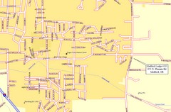
Medford, Oregon City Map
304 miles away
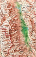
Death Valley National Park Map
305 miles away

Lakeview Oregon Road Map
306 miles away
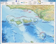
Channel Islands National Marine Sanctuary Map
Topo and bathymetric map of Channel Islands National Marine Sanctuary, located about 23 miles from...
306 miles away
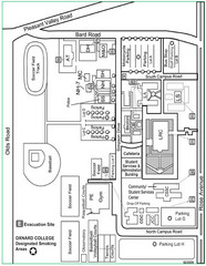
Oxnard College Map
307 miles away
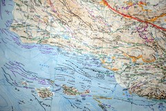
Oxnard California Fault Lines Map
FAULT MAP OF THE SANTA BARBARA TO OXNARD COASTAL AREA THE MESA-RINCON CREEK FAULT LIES DIRECTLY...
307 miles away
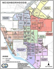
Oxnard California Neighborhoods Map
Neighborhoods: * Del Norte District o El Rio o El Rio West o...
307 miles away
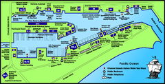
Channel Islands Harbor, California Map
Tourist map of Channel Islands Harbor, California. Shows water taxi stops, restaurants, parks, and...
307 miles away
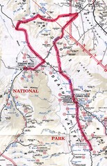
Death Valley Guide Map
308 miles away

