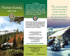
Plumas-Eureka State Park Map
Map of park with detail of trails and recreation zones
144 miles away
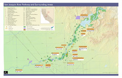
San Joaquin River Parkway Map
Map of the San Joaquin River Parkway. "The San Joaquin River Parkway is a mosaic of parks...
144 miles away
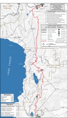
Tahoe Rim Trail: Tahoe Meadows to Spooner Summit...
Topographic hiking map of the Tahoe Meadows-Spooner Summit leg of the Tahoe Rim Trail. Shows bike...
145 miles away
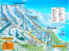
Diamond Peak Ski Trail Map
Trail map from Diamond Peak.
146 miles away
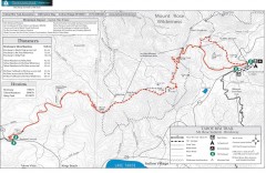
Tahoe Rim Trail: Brockway Summit to Tahoe Meadows...
Trail map of the Brockway Summit-Tahoe Meadows leg of the Tahoe Rim Trail. Bike trails, hiking...
146 miles away
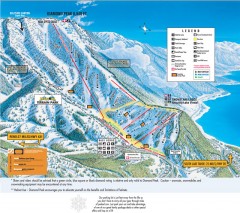
Diamond Peak Ski Trail Map
Official ski trail map of Diamond Peak ski area from the 2007-2008 season.
147 miles away
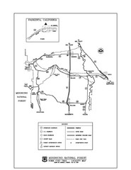
Mendocino National Forest map
Map of the Nome Cult Trail Walk in the Mendocino National Forest.
147 miles away
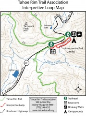
Tahoe Rim Trail: Interpretive Loop, Lake Tahoe...
Trail map of the Tahoe Rim Trail's Interpretive Loop Trail. Shows both trails, camping...
147 miles away
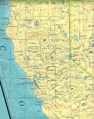
Northern California Map
Map of Northern California including cities, counties, and rivers
148 miles away

Millerton Lake State Recreation Area Park Map
Map of park with detail of trails and recreation zones
149 miles away
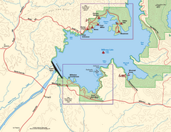
Millerton Lake State Recreation Area SW Map
Map of SW region of park with detail of trails and recreation zones
149 miles away
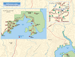
Millerton Lake State Recreation Area NW Map
Map of NW region of park with detail of trails and recreation zones
149 miles away

Millerton Lake State Recreation Area NE Map
Map of NE region of park with detail of trails and recreation zones
149 miles away
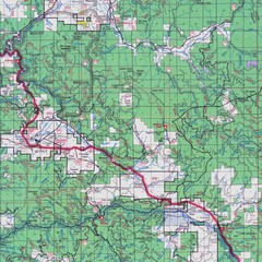
Lassen National Park Map
Forest Visitor Map showing locations of most camping and recreational areas in the eastern part of...
149 miles away
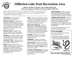
Millerton Lake State Recreation Area Campground...
Map of campground region of park with detail of trails and recreation zones
149 miles away
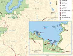
Millerton Lake State Recreation Area SE Map
Map of SE region of park with detail of trails and recreation zones
149 miles away
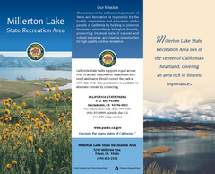
Millerton Lake State Recreation Area Map
Map of park with detail of trails and recreation zones
150 miles away
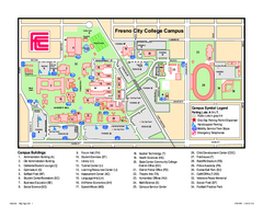
Fresno City College Campus Map
Fresno City College Campus Map. Shows all areas.
150 miles away
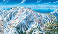
Mt. Rose Ski Trail Map
Official ski trail map of Mt. Rose ski area
151 miles away
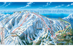
Mt. Rose Ski Tahoe Ski Trail Map
Trail map from Mt. Rose Ski Tahoe.
151 miles away
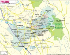
Fresno, California City Map
151 miles away
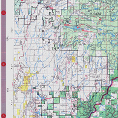
Lassen National Park Map
Visitor Map that shows most of Lassen National Forest with locations of camp grounds and...
151 miles away
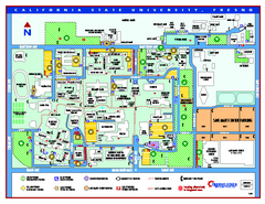
California State University - Fresno Map
California State University - Fresno Campus Map. All areas shown.
152 miles away

Carson River Aquatic Trail Map
153 miles away
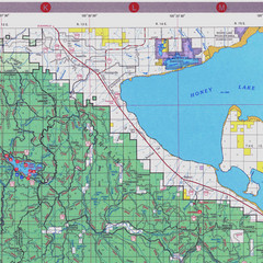
Lassen National Park Map
Forest Visitor Map of the farthest east of the park, shows all camping and recreational areas and...
154 miles away

William B. Ide Adobe State Historic Park Map
Map of park with detail of trails and recreation zones
154 miles away
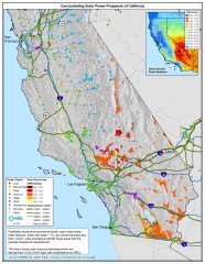
Concentrating Solar Power Prospects California Map
Shows power plants, concentrating solar resources, and transmission lines for all of California...
159 miles away
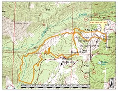
Sky Tavern XC Route Map
Topo map of the XC course for the cycling event.
161 miles away
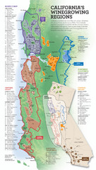
California Wine Map
Wine region map of state of California. Shows 100 American Viticultural Areas (AVAs). There are 4...
163 miles away

Reno Tahoe Tourist Map
163 miles away

Reno, Nevada City Map
163 miles away

Downtown Reno, Nevada Map
Tourist map of Reno, Nevada. Event and convention centers, visitor's center, parks, and other...
163 miles away
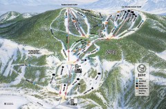
June Mountain Ski Trail Map
Official ski trail map of June Mountain ski area from the 2007-2008 season.
165 miles away
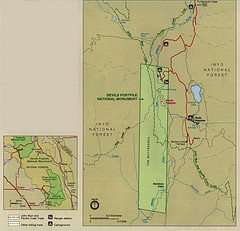
Devil's Postpile National Monument Map
165 miles away
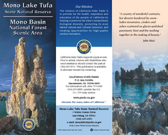
Mono Lake Tufa State Natural Reserve Map
Map of reserve with detail of trails and recreation zones
166 miles away
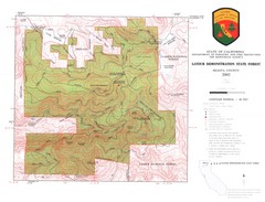
Latour State Forest Map
Countour map of the Latour Demonstration Forest.
167 miles away
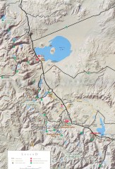
Eastern Sierra Trailhead Map - Lee Vining and...
Shows ranger stations and major trailheads in the eastern Sierra Nevada in the Mono Lake and...
167 miles away

Bodie State Park SW Map
Map of park with detail of trails and recreation zones
167 miles away

Bodie State Park NW Map
Map of park with detail of trails and recreation zones
167 miles away


