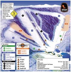
Appalachian Ski Trail Map
Official ski trail map of Appalachian ski area
123 miles away
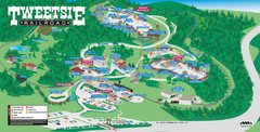
Tweetsie Tourist Map
123 miles away
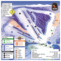
Appalachian Ski Mtn. Ski Trail Map
Trail map from Appalachian Ski Mtn..
123 miles away
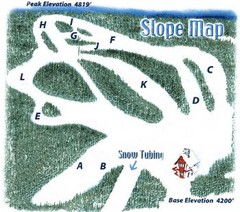
Hawksnest Golf & Ski Resort Ski Trail Map
Trail map from Hawksnest Golf & Ski Resort.
124 miles away
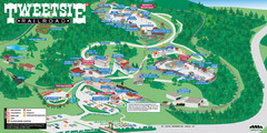
Tweetsie Railroad Park Map
Tweetsie Railroad is a unique attraction that allows children and families to explore their...
124 miles away
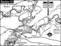
Kingston, TN Tennessee River/Clinch River/Emory...
Shows a bend on the Tennessee River at the confluence of the Clinch & Emory Rivers. For boat...
125 miles away

Watauga County Attractions Map
Watauga County Tourist Attractions
125 miles away

Watauga County Restaurants Map
Watuaga County Restaurant Guide
125 miles away
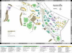
Appalachian State University Campus Map
Campus map of Appalachian State University in Boone, NC
125 miles away
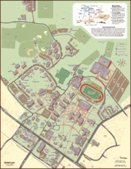
Davidson College Campus Map
Clear map of Davidson College.
127 miles away
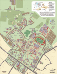
Davidson College Campus Map
Detailed map of Davidson College's campus.
127 miles away
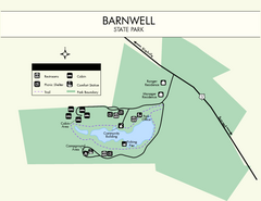
Barnwell State Park Map
Simple map of this state park.
128 miles away
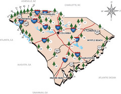
South Carolina State Park Map
Shows state parks in South Carolina
131 miles away
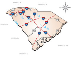
South Carolina Interstate Map
Shows Interstate highways in South Carolina
131 miles away
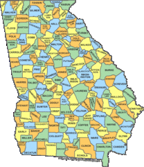
Georgia Counties Map
131 miles away
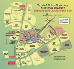
Bristol Motor Speedway Map
Guide to the campgrounds and parking at the Speedway
132 miles away
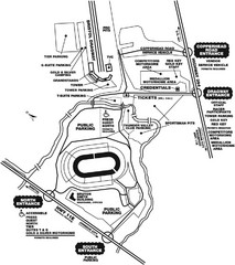
Bristol Dragway Map
Guide to campgrounds and parking at Bristol Dragway
132 miles away
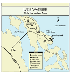
Lake Wateree State Park Map
Clear map of State Park.
132 miles away
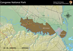
Congaree National Park Official Park Map
Official NPS map of Congaree National Park. Map shows all areas. Congaree National Park is open...
133 miles away
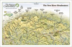
New River Headwaters Panorama Map
This panoramic map of the New River Headwaters area in North Carolina highlights TNC conservation...
133 miles away
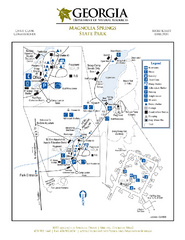
Magnolia Springs State Park Map
Map of park with detail of trails and recreation zones
134 miles away
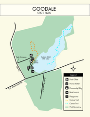
Goodale State Park Map
Easy to read state park map.
135 miles away
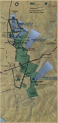
Antietam National Battelfield Map
138 miles away
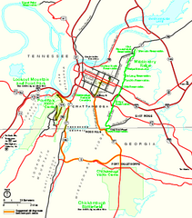
Chickamauga & Chattanooga National Military...
Official NPS map of Chickamauga & Chattanooga National Military Park in Georgia. All units of...
138 miles away
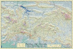
Boone, NC Outdoor Recreation Map
Guide to Boone, NC region
138 miles away
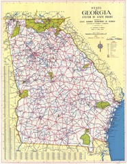
Georgia Road Map
Road map of state of Georgia, 1952
139 miles away
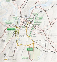
Chattanooga Guide Map
140 miles away
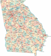
Georgia Road Map
Detailed, colorful road map of the state of Georgia.
140 miles away

University of Tennessee Map
Campus map
142 miles away
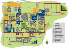
University of Tennessee Chattanooga Campus Map
Official campus map of University of Tennessee Chattanooga.
142 miles away
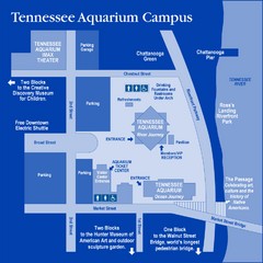
Tennessee Aquarium Campus Map
Map of Tennessee Aquarium Campus includes location of all buildings, bathrooms, parking, and...
143 miles away
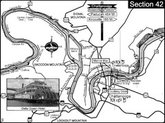
Chattanooga, TN Tennessee River Map
For boating navigational information and river road travel along the Tennessee River.
143 miles away
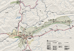
Cumberland Gap National Historical Park Official...
Official NPS map of Cumberland Gap National Historical Park in Virginia-Tennessee-Kentucky. Map...
143 miles away
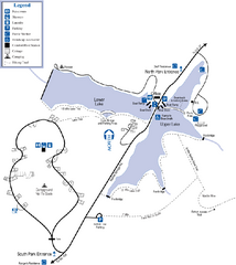
James H. Floyd State Park Map
Map of park with detail of trails and recreation zones
144 miles away
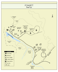
Poinsett State Park Map
Map and legend for this wonderful state park, marking bathrooms, camping grounds, roads, and more.
144 miles away
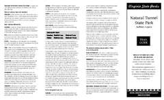
Natural Tunnel State Park Map
Detailed and informative state park map and legend.
144 miles away
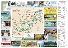
Ashe County Attractions Map
Ashe County Attractions
144 miles away
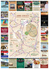
Ashe County Restaurant Map
Ashe County Restaurant Map
144 miles away
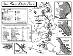
New River State Park map
Detailed recreation map for the New River State Park in North Carolina
148 miles away
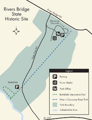
Rivers Bridge State Park Map
Nice and clear map of this history state park.
150 miles away

