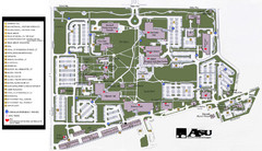
Augusta State University Map
Campus map
95 miles away
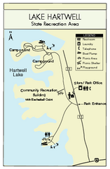
Lake Hartwell State Park Map
Clear state park map.
95 miles away
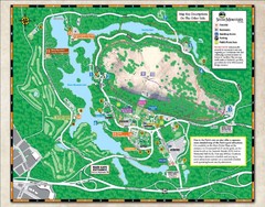
Stone Mountain State Park Map
96 miles away
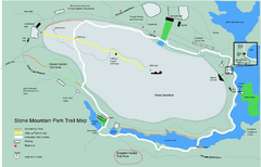
Stone Mountain Park Trail map
Trail map of Stone Mountain Park near Atlanta, GA
96 miles away
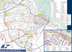
Augusta Public Transit Routes Map
Transit Route Map of the town of Augusta. Includes all streets, some important buildings, and a...
96 miles away
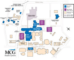
MCG Health System--Medical College of Georgia...
Color-coded map of all buildings on the Medical College of Georgia associated with the MCG Health...
96 miles away
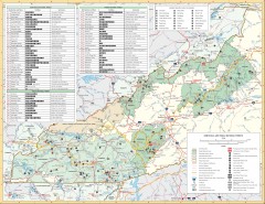
Pisgah National Forest and Nantahala National...
Pisgah National Forest and Nantahala National Forest recreation map. Contains list of all...
97 miles away
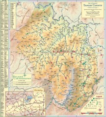
Yancey County Chamber of Commerce Map
Map of Yancey County, North Carolina. Shows all public roads, communities, hiking trails and picnic...
98 miles away
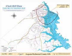
Richmond County Failure Inundation Map
Map of the flood water failure inundation of Augusta Richmond county, Georgia. Includes detailed...
100 miles away
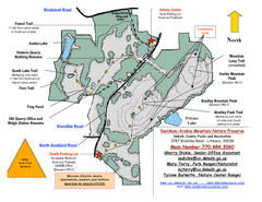
Davidson-Arabia Mountain Nature Preserve Map
Davidson-Arabia Mountain Nature Preserve is comprised of 570 acres of granite outcrop, wetlands...
101 miles away
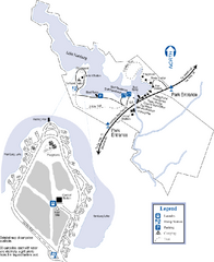
Hamburg State Park Map
Map of park with detail of trails and recreation zones
101 miles away
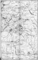
1864 Georgia Map
Used by General Sherman to guide his troops in the Civil War
102 miles away
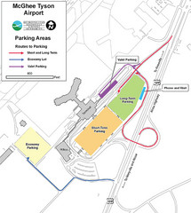
McGhee Tyson Airport Map
103 miles away
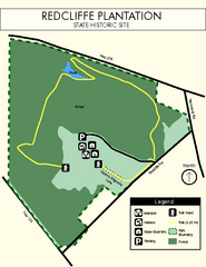
Redcliffe Plantation State Park Map
Clear map of this wonderful state park with a beautiful natural setting.
103 miles away
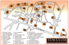
Tusculum College Campus Map
Campus map of Tusculum College in
104 miles away

Panola Mountain State Park Map
Map of park with detail of trails and recreation zones
105 miles away
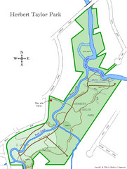
Herbert Taylor Park Map
105 miles away
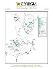
Fort Mountain State Park Map
Map of park with detail of trails and recreation zones
106 miles away
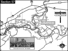
Knoxville, TN Tennessee River/Holston River...
This is the source of the Tennessee River at the confluence of the Holston River and French Broad...
106 miles away
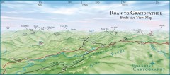
Panoramic View of Roan to Grandfather Map
This panorama takes in the vista from Roan to Grandfather mountain - overlooking the upper Linville...
107 miles away
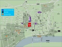
University of Tennessee Map
Map with locations of downtown Tennessee.
108 miles away

University of Tennessee Map
108 miles away
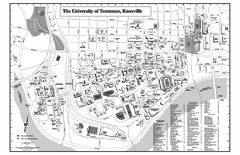
University of Tennessee Map
Campus Map of the University of Tennessee. All areas shown.
108 miles away
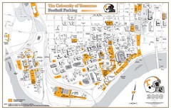
University of Tennessee Tourist Map
108 miles away
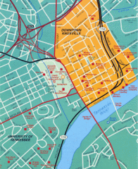
Knoxville, TN Tourist Map
108 miles away
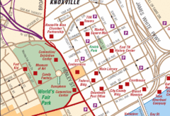
Knoxville, TN Tourist Map
108 miles away
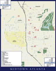
Midtown Atlanta Map
108 miles away
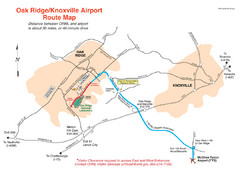
Knoxville and Oakridge Airports Map
109 miles away

Knoxville, Tennessee City Map
109 miles away
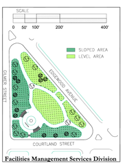
Hurt Park Map
109 miles away
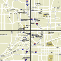
Atlanta, Georgia City Map
109 miles away
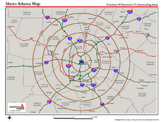
Atlanta Metro Proximity Ring Map
Shows proximity of downtown Atlanta, Georgia to surrounding areas
109 miles away
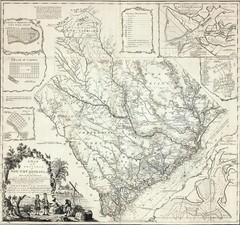
James Cook's South Carolina Map
English cartographer and explorer James Cook's 1773 map of English colony of South Carolina...
109 miles away
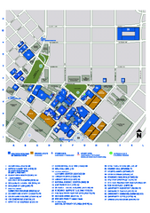
Georgia State University Map
Georgia State University Campus Map. All buildings shown.
109 miles away
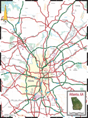
Atlanta, GA Tourist Map
109 miles away
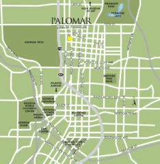
Atlanta Tourist Map
109 miles away
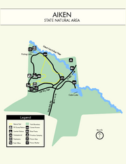
Aiken State Park Map
Small and simple state park map.
109 miles away
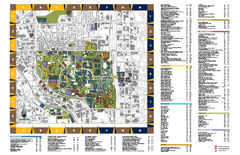
Georgia Institute of Technology Map
Georgia Institute of Technology Campus Map. All buildings shown.
109 miles away

Atlanta MARTA rail map
Official rail map of the Metropolitan Atlanta Rapid Transit Authority.
109 miles away
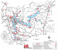
Allatoona Lake Map
109 miles away

