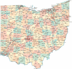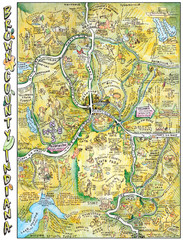
Brown County, Tennessee Tourist Map
366 miles away

Columbus, Ohio City Map
366 miles away
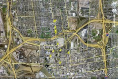
Restaurants in Columbus, Ohio Map
Local and chain restaurants in Columbus, Ohio
366 miles away
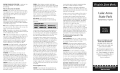
Lake Anna State Park Map
Detailed state park map.
367 miles away
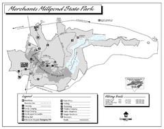
Merchants Millpond State Park map
Detailed recreation map for Merchants Millpond State Park in North Carolina
367 miles away
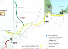
Buck Creek Trail Map
369 miles away

The Ohio State University Map
369 miles away
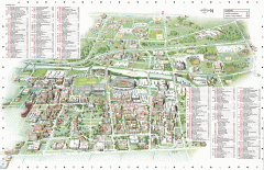
Ohio State University - main campus map
Map of main Columbus, Ohio campus of Ohio State University. 51,818 total students enrolled in 2006...
370 miles away
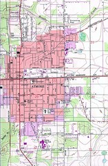
Atmore City Map
Topographical city map of Atmore, Alabama
370 miles away
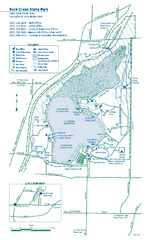
Buck Creek State Park map
Detailed recreation map for Buck Creek State Park in Ohio
370 miles away
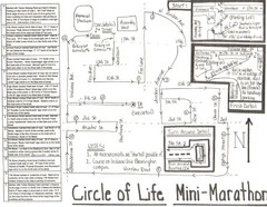
Circle of Life Mini-Marathon Map
Detailed Hand-Drawn Course for Circle of Life Mini-Marathon Map
372 miles away
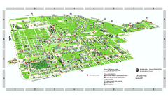
Indiana University - Bloomington Map
Campus map of Indiana University at Bloomington. All buildings shown.
372 miles away
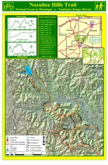
Noxubee Hills Trail Map
Shows singletrack and doubletrack trails in the Noxubee Hill trail system in Tombigbee National...
372 miles away
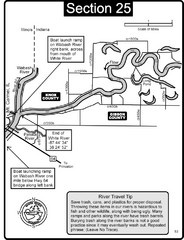
Mount Carmel, IL White River & Wabash River...
This is a page from the White River Guidebook. The map shows important information for boaters and...
375 miles away
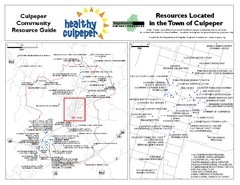
Culpeper, Virginia City Map
Locations and resources in Culpeper
376 miles away
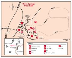
Dixon Springs State Park, Illinois Site Map
376 miles away
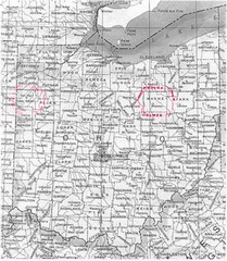
Ohio County Map
377 miles away
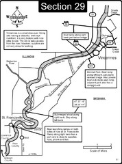
Vincennes, IN/ St. Francisville, IL Wabash River...
This is a page from the Wabash River Guidebook. The map shows important information for boaters and...
378 miles away
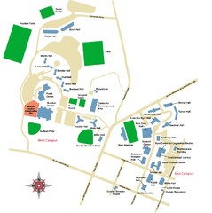
West Virginia University Campus Map
378 miles away
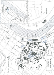
West Virginia University Map
Campus Map of West Virginia University. All buildings shown.
379 miles away
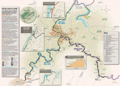
Rail Trails of North Central West Virginia Map
Trail map of rail-trails of north-central West Virginia. Shows the Mon River Trail, Caperton Trail...
379 miles away
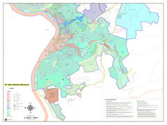
West Virginia Zoning STATE ROADS Map
Map of the zoning boundaries and state roads in West Virginia.
379 miles away
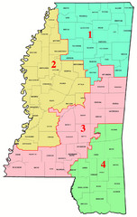
Mississippi Congressional Map
379 miles away

Vicennes and Knox County Indiana Visitor Map
Street map of Vicennes with maps of the entire state and county as well.
379 miles away
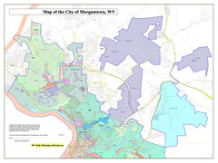
City of Morgantown, West Virginia Zoning Map
Zoning Map of the city of Morgantown, West Virginia. Includes all streets and color-coded zoning...
380 miles away
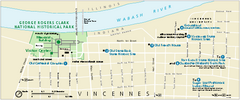
George Rogers Clark National Historical Park...
Official NPS map of George Rogers Clark National Historical Park in Indiana. Map shows all areas...
380 miles away
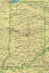
Indiana Map
381 miles away
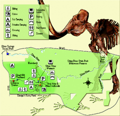
Silver River State Park Map
Map of park with detail of trails and recreation zones
381 miles away
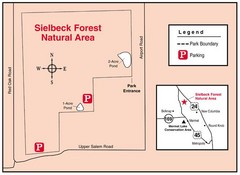
Sielbeck Forest, Illinois Site Map
381 miles away
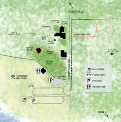
Marjorie Kinnan Rawlings Historic State Park Map
Map of park with detail of trails and recreation zones
381 miles away
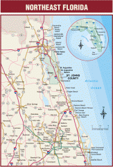
Northeast Florida Road map
A complete road map of the Northeast section of the state of Florida.
382 miles away
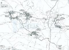
Fredericksburg and Spotsylvania National Military...
Official NPS map of Fredericksburg and Spotsylvania National Military Park in Virginia. The...
382 miles away
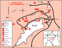
Saline County State Fish & Wildlife Area...
383 miles away
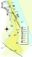
Tomoka State Park Map
Map of park with detail of recreation zones
383 miles away
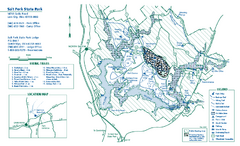
Salt Fork State Park map
Detailed recreation map for Salt Ford State Park in Ohio
384 miles away
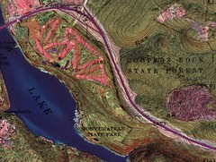
Coopers Rock State Forest Topo Map
Map shows parks and elevations
384 miles away
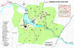
Ryerson Station State Park map
Detailed recreation map of Ryerson Station State Park in Pennsylvania
384 miles away
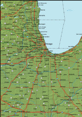
Detailed Indiana Area Road Map
385 miles away

