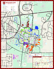
Mississippi State University Map
353 miles away
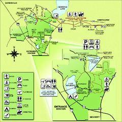
Paynes Prairie State Preserve Map
Map of preserve with detail of trails and recreation zones
353 miles away
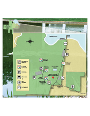
Eden Gardens State Park Map
Map of park with detail of gardens
353 miles away
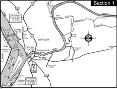
Smithland, KY Cumberland & Ohio Rivers Map
This is the mouth (end) of the Cumberland River as it pours into the Ohio River after flowing 695...
355 miles away
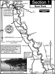
Columbus, IN White River East Fork Map
This is a page from the White River Guidebook. The map shows important information for boaters and...
355 miles away
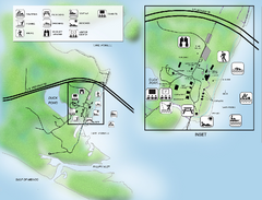
Camp Helen State Park Map
Map of park with detail of various recreation zones
355 miles away
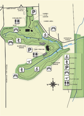
Ravine Gardens State Park Map
Map of park with detail of trails and recreation zones
355 miles away
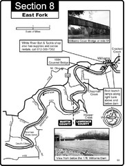
Williams, IN White River East Fork Map
This is a page from the White River Guidebook. The map shows important information for boaters and...
355 miles away
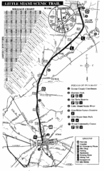
Little Miami Scenic Trail Map
Map of the Little Miami Scenic Trail biking route from Xenia, Ohio to Yellow Springs, Ohio. Shows...
356 miles away
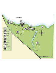
Fred Gannon Rocky Bayou State Park Map
Map of park with detail of trails and recreation zones
356 miles away
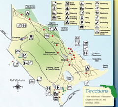
St. Andrews State Park Map
Overview map of St. Andrews State Park, #2 beach in America by TripAdvisor.com, 2008
357 miles away
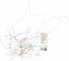
Southern West Virginia Tourist Map
Cities in the southern part of West Virginia.
357 miles away
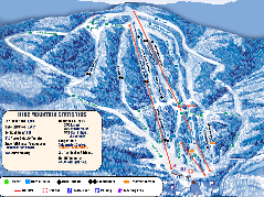
Timberline Ski Resort Ski Trail Map
Trail map from Timberline Ski Resort.
357 miles away
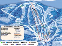
Timberline Ski Trail Map
Official ski trail map of Timberline ski area in West Virginia
357 miles away
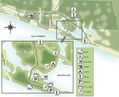
Grayton Beach State Park Map
Map of park with detail of trails and recreation zones
357 miles away

Shenandoah National Park map
Official NPS map of Shenandoah National Park.
357 miles away
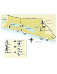
Topsail Hill Preserve State Park Map
Map of park with detail of recreation zones
359 miles away
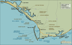
Mexico Beach, Florida Tourist Map
360 miles away
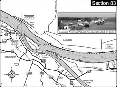
Ohio River & Tennessee River at Paducah, KY...
This is a page from the Ohio River Guidebook. The map shows important information for boaters and...
360 miles away
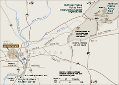
Dayton Aviation Heritage National Historical Park...
Official NPS map of Dayton Aviation Heritage National Historical Park in Ohio. Dayton Aviation...
360 miles away

Dayton, Ohio City Map
360 miles away
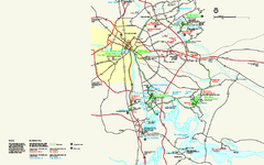
Richmond National Battlefield Park Official Map
Official NPS map of Richmond National Battlefield Park in Virginia. Park battlefields are open...
360 miles away
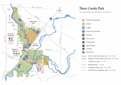
Three Creeks Park Map
361 miles away
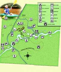
Blackwater River State Park Map
Map of park with detail of various recreation zones
361 miles away
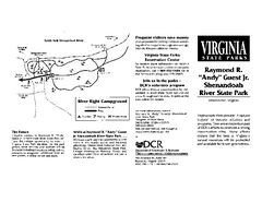
Shenandoah River State Park Map
Detailed map and legend of this beautiful state park.
361 miles away
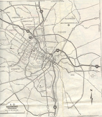
Richmond, Virgina City Map
361 miles away
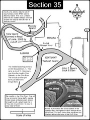
Mount Vernon, IN Wabash River & Ohio River Map
This is a page from the Wabash River Guidebook. The map shows important information for boaters and...
362 miles away
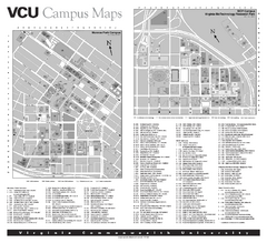
Virginia Commonwealth University Map
Virginia Commonwealth University Campus Map. All buildings shown.
362 miles away
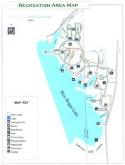
West Boggs Park Map
362 miles away
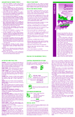
Brown County State Park, Indiana Site Map
362 miles away
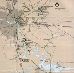
Richmond Area Civil War Battle Map
Richmond, VA area Civil War battle map
363 miles away

Canaan Valley Resort Ski Trail Map
Trail map from Canaan Valley Resort.
363 miles away
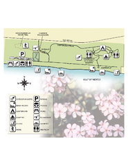
Henderson State Park Map
Map of park with detail of trails and recreation zones
363 miles away
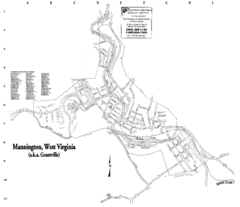
Mannington Street Map
Street map of Mannington, West Virginia. (aka Grantville)
363 miles away

Columbus Bike Map
Bike trails in Columbus.
364 miles away
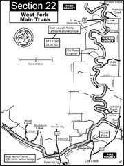
Petersburg, IN White River West Fork Map
This is a page from the White River Guidebook. The map shows important information for boaters and...
364 miles away
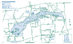
Buckeye Lake State Park map
Detailed recreation map for the Buckeye Lake area in Ohio
364 miles away
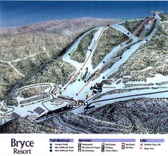
Bryce Resort Ski Trail Map
Trail map from Bryce Resort.
365 miles away
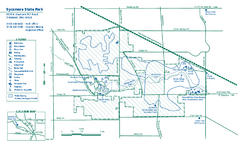
Sycamore State Park map
Detailed recreation map for Sycamore State Park in Ohio.
365 miles away

Glendale, Virginia Battle Map
A Civil War Battle Map in Glendale, Virginia
366 miles away

