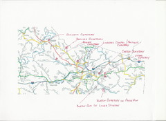
Carter County Cemetery Map
Cemeteries identified in Handwriting on map of Carter County with roads, cities and rivers.
253 miles away
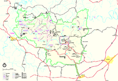
Mammoth Cave National Park Official Park Map
Official NPS map of Mammoth Cave National Park in Kentucky. Most of the park's resources and...
254 miles away
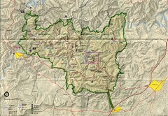
Mammoth Cave National Park Map
Visitor Center Area Map and Park Map. Topographical map that shows parameters of the park as well...
254 miles away
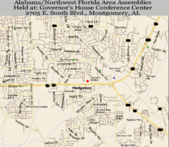
Montgomery, Alabama City Map
255 miles away
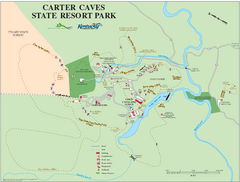
Carter Caves State Resort Park Map
Map of trails and facilities of Carter Caves State Resort Park.
257 miles away
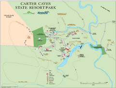
Carter Caves State Resort Park map
Detailed recreation map for Carter Caves State Park in Kentucky
257 miles away
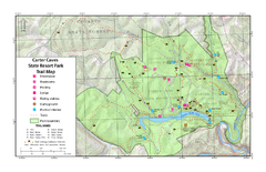
Carter Caves State Resort Park Topographic Trails...
Topographic map of the trails of Carter Caves State Resort Park.
257 miles away
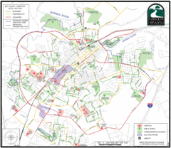
Bowling Green Biking Map
Map of biking trails in the city of Bowling Green area. Includes all streets, parks, some buildings...
257 miles away
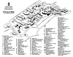
Western Kentucky University Map
Western Kentucky University Campus Map. All buildings shown
258 miles away
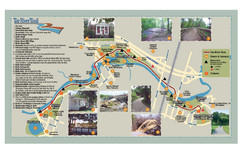
Tar Riverm Trail Map
260 miles away
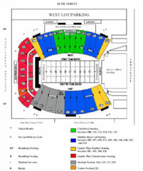
Marshall University Stadium Map
Clear map and legend of Marshall University's stadium.
261 miles away
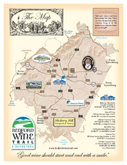
Bedford Wine Trail Map
Map of Bedford Wine Trail, showing all area wineries and vineyards.
262 miles away
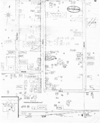
Pipestand Map
Historical map with reference to pipestand for the fire department
262 miles away
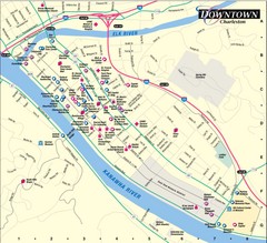
Charleston WV City Map
City map of downtown Charleston, West Virginia. Shows points of interest.
263 miles away
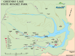
Greenbo Lake State Resort Park map
Detailed recreation map for Greenbo Lake State resort park in Kentucky
264 miles away
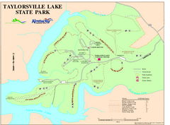
Taylorsville Lake State Park Map
Map of trails and facilities in Taylorsville Lake State Park.
266 miles away
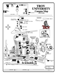
Troy University Map
Campus map of Troy University Troy campus. All areas shown.
268 miles away
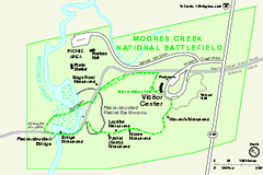
Monocacy National Battlefield Official Map
Official NPS map of Moores Creek National Battlefield in North Carolina. Operating Hours &...
270 miles away
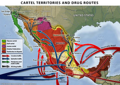
Mexican Drug Cartel Territories and Routes Map
272 miles away
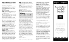
Staunton River Battlefield State Park Map
Clearly labeled state park map.
272 miles away
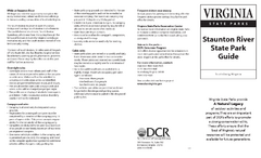
Staunton River State Park Map
Clear map marking trails, rest stops, facilities and more.
273 miles away
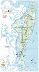
Cumberland Island Map
Map of Cumberland Island, including hiking trails and campgrounds
275 miles away
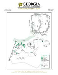
Crooked River State Park Map
Map of park with detail of trails and recreation zones
275 miles away
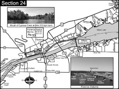
Florence, AL Tennessee River Map
For boating navigational information and river road travel along the Tennessee River. This map...
275 miles away
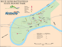
Blue Licks Battlefield State Resort Park Map
Map of Trails and Facilities in Blue Licks Battlefield State Resort Park.
275 miles away
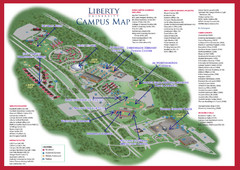
Liberty University Map
276 miles away
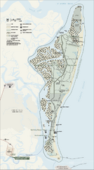
Cumberland Island National Seashore Map
Official NPS map of Cumberland Island National Seashore, Cumberland Island, Georgia. Rated #4...
276 miles away

Heritage Acres RV Park Map
Map of Heritage Acres RV Park in Tuscumbia, Alabama showing lots and roos. Rows are named after...
277 miles away
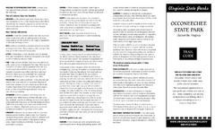
Occoneechee State Park Map
This map clearly marks rest stops, trails, campgrounds and more.
277 miles away
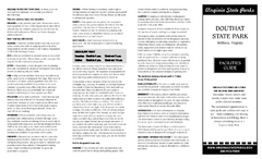
Douthat State Park Map
Clear state park map with marked facilities.
279 miles away
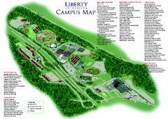
Liberty University Map
Liberty University Campus Map. All buildings shown.
280 miles away
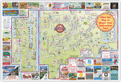
Wilmington, North Carolina City Map
282 miles away
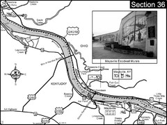
Ohio River at Maysville, Kentucky Map
This is a page from the Ohio River Guidebook. The map shows important information for boaters and...
282 miles away
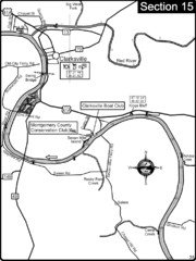
Clarksville, TN-Cumberland River Map
Cumberland River flows past Clarksville that has a great riverfront and services for traveling...
282 miles away
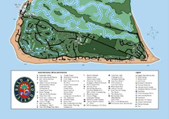
Bald Head Island Tourist Map
283 miles away
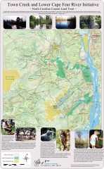
Town Creek and Lower Cape Fear river initiative...
This map shows protected and priority conservation areas of the North Carolina Coastal Land Trust...
284 miles away
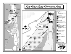
Fort Fisher State Recreation Area map
Detailed recreation area for Fort Fisher State Recreation Area in North Carolina
284 miles away
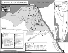
Caroline Beach State Park Map
Detailed recreation map for Caroline Beach State Park in North Carolina
285 miles away

