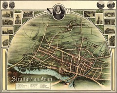
1902 Stratford-upon-Avon Map
Map of William Shakespeare's birthplace
315 miles away
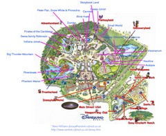
Disneyland Paris Guide Map
Locations and attractions at Disneyland Paris.
315 miles away
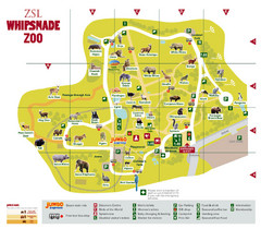
Whipsnade Zoo Map
316 miles away

Main Historic Sites in Wales Map
Welsh Historic Monuments map (CADW) showing roads, cities and the main castles and abbeys in Wales.
317 miles away
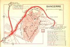
Sancerre Town Map
Town center of Sancerre, France. From Penguin edition, pages 13-16
317 miles away
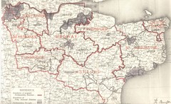
Kent, England County Map
317 miles away
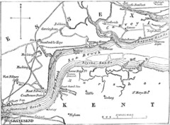
River Thames Map
Map of Thames from Gravesend to Canvey Island
318 miles away
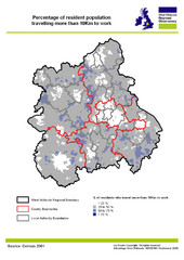
West Midlands Travel Time Statistics Map
Percentage of residents who travel to work in West Midlands, England
318 miles away
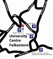
University Centre at Folkestone Map
319 miles away
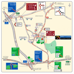
Brentwood, Essex Map
319 miles away
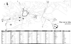
Sarlat - environs Map
320 miles away
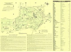
Sarlat Map
320 miles away
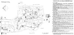
Sarlat - medievale Map
320 miles away
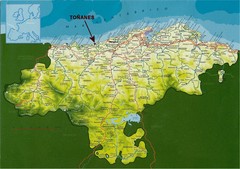
Cantabria, Spain Tourist Map
Cantabria, Spain tourist map showing roads, cities and tourist sites.
320 miles away
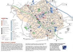
Milton Keynes Region Tourist Map
Tourist map of region around Milton Keynes, UK. Shows railway stations, out of town shopping, and...
321 miles away
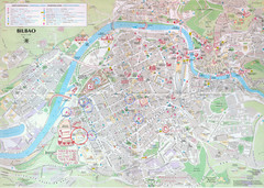
Bilbao Tourist Map
Tourist map of central Bilbao, Spain. Shows major buildings and other points of interest.
322 miles away
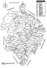
Warwichshire, England Region Map
323 miles away
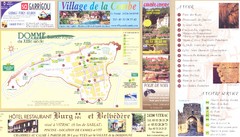
Domme Map
324 miles away
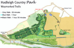
Hadleigh Country Park Map
3 walks, each color coded according to the estimated time it would take to complete each trek...
324 miles away
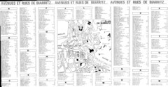
Biarittz - back (index) Map
324 miles away
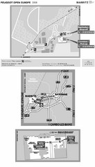
Biarritz Airport Map
324 miles away
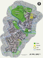
Canterbury Map
Map of parks, main streets, etc.
325 miles away
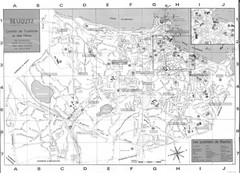
Biarittz - front (overview) Map
325 miles away
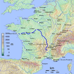
France Map with river Loire Highlighted
Map of France with river Loire higlighted.
325 miles away

Saint Jean de Luz - street index Map
328 miles away
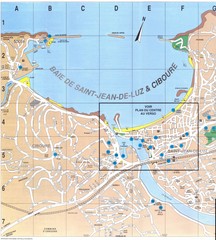
Saint Jean de Luz - West Map
328 miles away
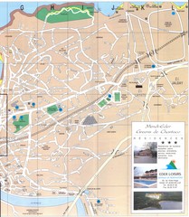
Saint Jean de Luz - East Map
328 miles away
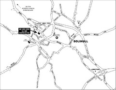
Solihull Town Map
328 miles away

Saint Jean de Luz - centre Map
328 miles away
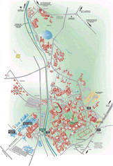
University of Birmingham Map
Guide to Birmingham University and surrounds
329 miles away
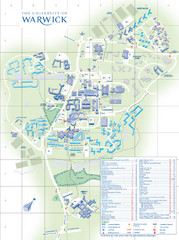
University of Warwick Campus Map
Near Coventry, West Midlands
329 miles away
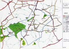
Hoath Town Map
Handwritten map of town of Hoath, England near Canterbury.
330 miles away
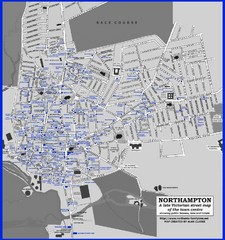
Northampton Town Map
Map of Northampton from the late Victorian period with public houses, inns, hotels, and pubs all...
330 miles away
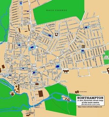
Northampton Town Map
Street map of Northampton from the late Victorian period
330 miles away
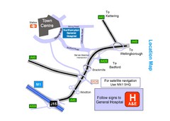
Central Northampton, England Tourist Map
Central Northampton in England
331 miles away
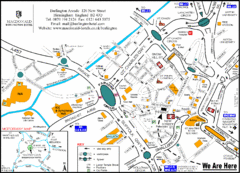
Central Birmingham Map
331 miles away
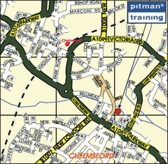
Chelmsford Map
331 miles away
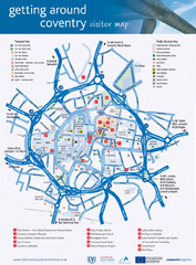
Coventry Tourist Map
Tourist map of central Coventry, England. Shows points of interest.
331 miles away

Birmingham City Map
Street map of Birmingham, England. Shows buildings, hospitals, parking, and schools.
331 miles away

