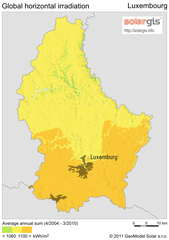
Solar Radiation Map of Luxembourg
Solar Radiation Map Based on high resolution Solar Radiation Database: SolarGIS. On the Solar Map...
476 miles away
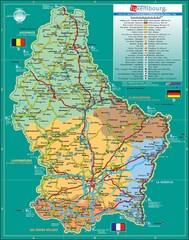
Luxembourg Tourism Map
Tourist Map of Luxembourg showing major roads, railways, and tourist attractions.
476 miles away
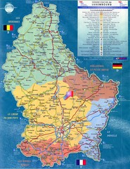
Luxembourg Tourist Map
Tourist map of the country of Luxembourg. Shows points of interest and activity icons. In French...
476 miles away
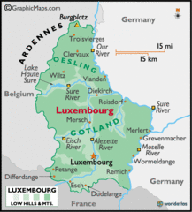
Luxembourg Map
476 miles away
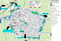
Leiden Tourist Map
Tourist map of downtown Leiden, The Netherlands. Shows some hotels and other points of interest.
476 miles away
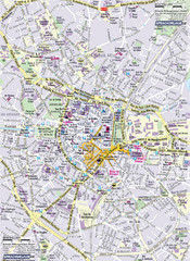
Montpellier Tourist Map
Tourist map of Montpellier, France. Shows points of interest.
477 miles away
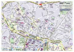
Montpellier Tourist Map
Tourist street map of Montpellier
477 miles away
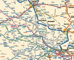
Montpellier City Tourist Map
Tourist map of Montpellier
477 miles away
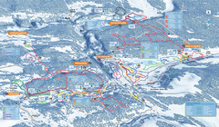
Les Rousses Nordic Ski Trail Map
Trail map from Les Rousses.
478 miles away
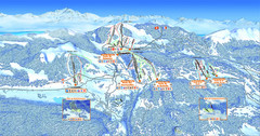
Les Rousses Ski Trail Map
Trail map from Les Rousses.
478 miles away
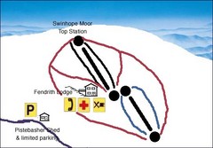
Swinhope Moor Sketch Ski Trail Map
Trail map from Swinhope Moor.
478 miles away
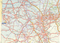
Maastricht Map
Highway map of Maastricht area
478 miles away
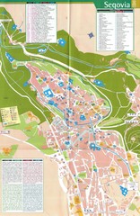
Segovia Spain Tourist Map
Tourist map of Segovia, Spain. Shows hotels, buildings of historical interest and monuments.
479 miles away
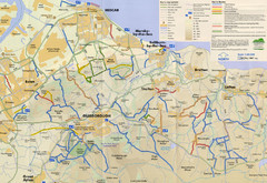
Redcar & Cleveland Horse Riding Routes Map
Horseriding route map of Redcar & Cleveland area, England shows public bridleways, public...
479 miles away
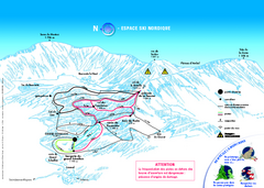
Grand Echaillon Ski Trail Map
Trail map from Grand Echaillon.
480 miles away
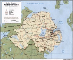
Northern Ireland Map
Map of Northern Ireland showing roads, cities, railroads and borders.
482 miles away

Old European map
484 miles away
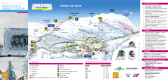
Lente Ski Trail Map
Trail map from Lente.
484 miles away
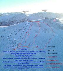
Raise Ski Trail Map
Trail map from Raise.
484 miles away
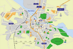
Sligo City Map
Map of Sligo with tourist information
485 miles away
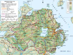
Northern Ireland General Map
Guide to Northern Ireland, major cities, topography and roads
485 miles away
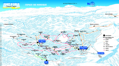
Font d’Urle Nordic Ski Trail Map
Trail map from Font d’Urle.
486 miles away
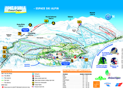
Font d’Urle Ski Trail Map
Trail map from Font d’Urle.
486 miles away
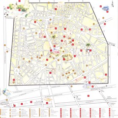
Nimes - centre Map
486 miles away

Western Strasbourg Tourist Map
486 miles away

Nimes Map
486 miles away
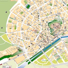
Lleida Tourist Map
Tourist map of Lleida, Spain
487 miles away
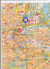
Eindhoven City Map
City map of center of Eindhoven, The Netherlands
487 miles away
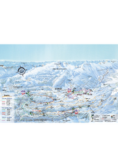
Herbouilly Ski Trail Map
Trail map from Herbouilly.
487 miles away
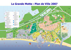
La Grande Motte Tourist Map
Tourist map of La Grande Motte, France. Shows beaches, hotels, and other points of interest.
487 miles away
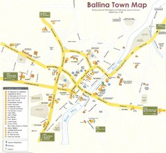
Ballina Town Map
488 miles away
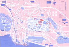
Aix le Bain Map
489 miles away
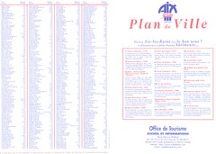
Aix le Bain - index Map
489 miles away
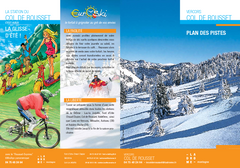
Col de Rousset Ski Trail Map
Trail map from Col de Rousset.
489 miles away
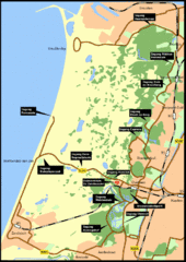
Nationaal Park Zuid-Kennemerland Map
Park overview map of Zuid-Kennemerland National Park (NPZK), Netherlands
490 miles away
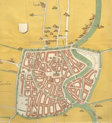
Haarlem City Map
Haarlem city center map from 1550
490 miles away

Orange Map
492 miles away
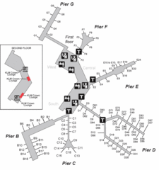
Amsterdam Airport Schipol Map
492 miles away
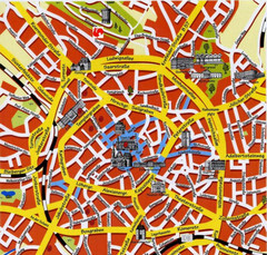
Aachen Center Map
Tourist street map of Aachen city center
493 miles away

Annecy Map
493 miles away

