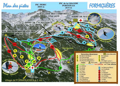
Formiguères Ski Resort Map
Ski Resort map for Formiguères resort in France. Ski runs, lifts and amenities identified...
467 miles away
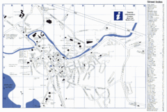
Keswick Tourist Map
Tourist map of Keswick, England. Shows all points of interest and has a street index.
467 miles away
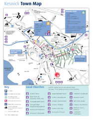
Keswick Town Map
Map of Keswick with Christian locations identified
467 miles away
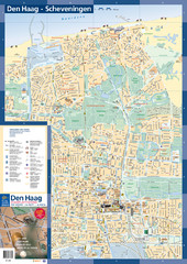
The Hague Tourist Map
Tourist map of The Hague, Netherlands. Shows points of interest.
467 miles away
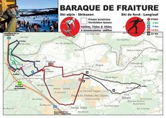
Baraque de Fraiture and Nordic Ski Trail Map
Trail map from Baraque de Fraiture.
467 miles away
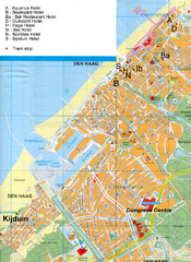
The Hague Hotel Map
Hotel map of The Hague, Netherlands. Shows tram stops. Congress centre highlighted.
467 miles away
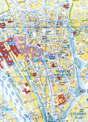
Utrecht, Netherlands Tourist Map
467 miles away
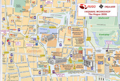
Den Haag, Netherlands Tourist Map
467 miles away
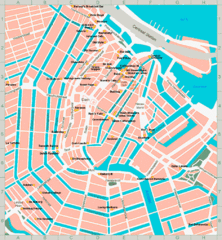
Den Haag, Netherlands Tourist Map
467 miles away
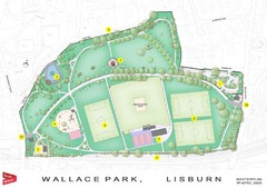
Wallace Park Map
469 miles away
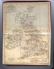
1910 Great Britain Map
471 miles away
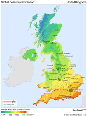
Solar radiation map of United Kingdom
Solar radiation map of UK, Global horizontal irradiation, Solar map UK
471 miles away
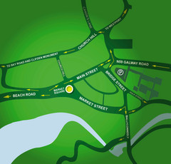
Clifden Overview Map
Simple street map of center of Clifden, Ireland
472 miles away
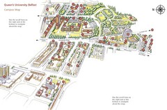
Queen's University Belfast Map
Guide to campus and botanical gardens
473 miles away
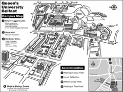
Queen's University Belfast Campus Map
Campus map of Queen's University Belfast in Belfast, Northern Ireland
473 miles away
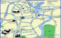
Belfast City Map
City map of Belfast with tourist information
473 miles away
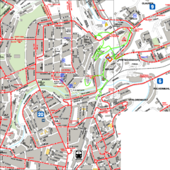
City Center with Bus and Rail Lines Map
473 miles away
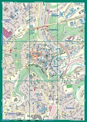
Luxembourg City Street Map
Street map of Luxembourg city and surrounding area.
473 miles away
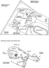
Odyssey Complex Public Service Attraction Visitor...
Odyssey complex site map, displaying the locations of all attractions, restaurants, stores...
473 miles away
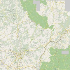
Luxembourg Bike Map
473 miles away
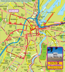
Belfast Bus Tour Map
473 miles away
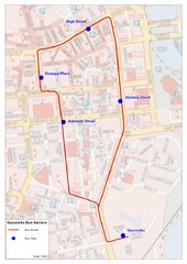
Gasworks/Belfast city centre shuttle Bus Map
Shuttle Bus service map between the Gasworks Estate and Belfast city centre.
473 miles away
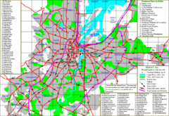
Belfast Map
473 miles away
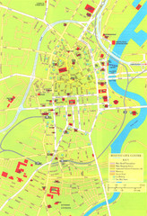
Belfast Tourist Map
Tourist map of center of Belfast, Northern Ireland, UK. Major buildings highlighted.
473 miles away
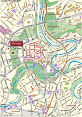
Luxembourg city Map
473 miles away
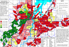
Belfast Religious Distribution Map
Guide to proportion of Catholics in each Belfast ward
473 miles away
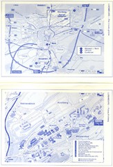
Kirchberg Map
Map of Kirchberg, Luxembourg. In French. Scanned.
474 miles away
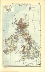
1911 British Isles Physical Map
Guide to physical features of the United Kingdom, then known as the British Isles
474 miles away
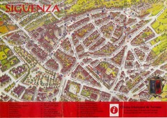
Siguenza Tourist Map
Official Tourism Map of Siguenza, Spain showing points of interest in the city, roads and buildings.
474 miles away
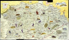
Siguenza Old Map
475 miles away
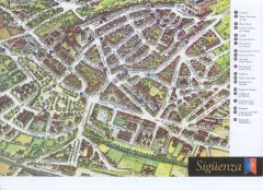
Siguenza Tourist Map
Tourist map of Siguenza, Spain. Shows points of interest.
475 miles away
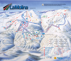
Alp 2500 (La Molina, Masella) Ski Trail Map
Trail map from Alp 2500 (La Molina, Masella).
475 miles away
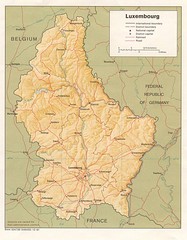
Luxembourg Map
Map of the mountains, cities and roadways of Luxembourg.
475 miles away
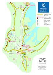
Belfast City Marathon Map
Event and the marathon map.
475 miles away
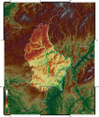
Luxembourg topo Map
476 miles away
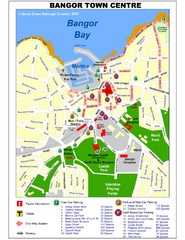
Bangor Town Centre Map
476 miles away
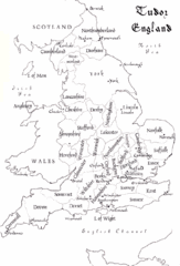
Tudor England Counties Map
Guide to the counties of England under Tudor reign
476 miles away

