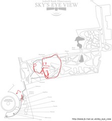
Jodrell Bank Observatory Map
Map of the Jodrell Bank Observatory. Shows location of parking lot, layout of the observatory...
395 miles away
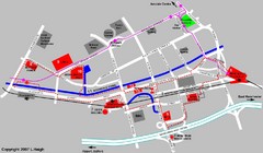
Manchester Map
395 miles away
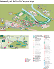
University of Salford Map
395 miles away
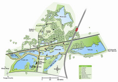
Whisby Nature Park Map
Shows park as of January 2009.
395 miles away
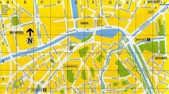
North Bruges Map
Map of northern part of Bruges city
395 miles away
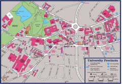
University of Sheffield Map
Campus map of the University of Sheffield in Sheffield, England. Shows parking, bus stops, and...
396 miles away
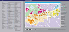
The University of Sheffield Reference Map
The University of Sheffield, United Kingdom
396 miles away
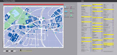
University of Sheffield Map
Campus map
396 miles away
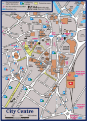
Sheffield Tourist Map
Tourist map of the city center of Sheffield, England.
396 miles away
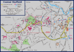
Central Sheffield Map
Map shows central Sheffield, England area. Bus stops and University of Sheffield parking areas...
396 miles away
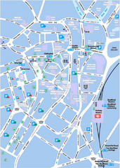
Sheffield City Map
City centre map of Sheffield, England. Shows parking, ATMs, and other points of interest.
396 miles away
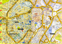
Sheffield City Center Map
396 miles away
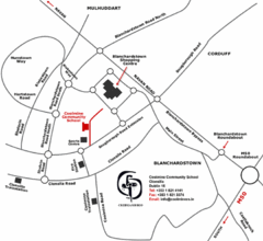
Coolmine Community School Location Map
Coolmine caters for over 1100 day-pupils, both boys and girls, aged from 12 to 18 years who live...
396 miles away
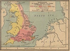
600 British Settlement Map
Map of settlements of Angels, Saxons, Jutes and Native Britons in 600
396 miles away
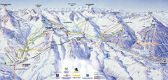
Bareges/La Mongie Ski Trail Map
Trail map from Bareges/La Mongie.
396 miles away
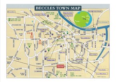
Beccles Town Map
399 miles away
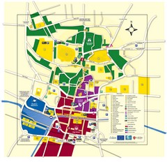
Lincoln Tourist Map
Tourist map of Lincoln, England. Shows points of interest.
399 miles away
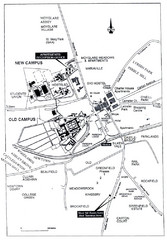
Maynooth Housing and Accommodation Map
Shows housing estates and accommodations in Maynooth, Ireland, home of the National University of...
399 miles away

Woodhall Spa Map
Street map of Woodhall Spa
400 miles away
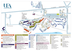
U. of East Anglia Map
400 miles away
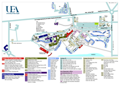
University of East Anglia Map
400 miles away
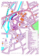
Central Rotherham Map
400 miles away
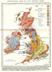
British Isles Geological Map
Old British Isles geological map
402 miles away
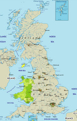
Wales Map
Guide to Wales and major cities in the United Kingdom
406 miles away

Cawston, Norfolk Guide Map
406 miles away
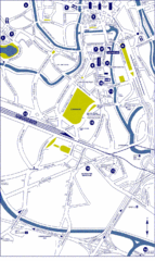
Ghent City Map
City map of Ghent with attractiosn
407 miles away
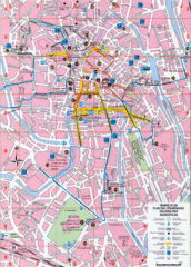
Ghent Walking Tour Map
Tourist and walking tour map of Ghent, Belgium. Shows points of interest.
407 miles away
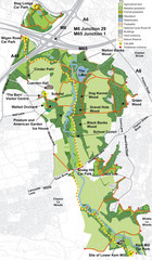
Cuerden Valley Park Map
408 miles away

Schematic UK Postcode Map
Shows all postcode areas in the United Kingdom in shape of UK with London extracted.
408 miles away
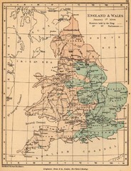
1644 England and Wales Political Map
Map showing districts held by teh King versus the Parliament during the Puritan Revolution
408 miles away
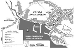
Dingle Town Map
409 miles away
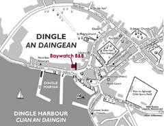
Dingle Town Map
Simple tourist map for Dingle Town, Ireland showing streets and places of interest.
409 miles away

Rossendale Hospital Map
Campus map of hospital
409 miles away
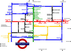
Doncaster Pup Guide Map
409 miles away
Bawtry Road Bus Lane Map
410 miles away
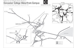
Doncaster College Waterfront Campus Map
B&W Printable version of the Doncaster College Waterfront Campus showing parking and vehicular...
410 miles away
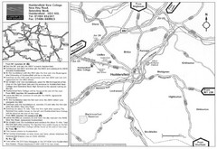
Huddersfield New College Location Map
410 miles away
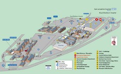
Royal Blackburn Hospital Map
Maps of Royal Blackburn
411 miles away
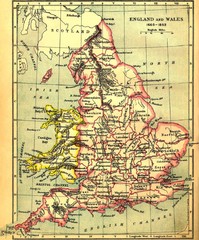
1660-1892 England and Wales Map
Guide to England and Wales from 1660-1892, showing topographic information
411 miles away
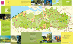
Flanders Camping and Cycling Map
Shows campgrounds and cycling routes in Flanders, Belgium
411 miles away

