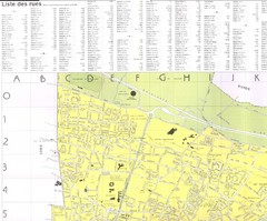
Pau - NW quadrant Map
357 miles away
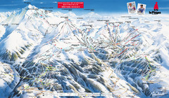
La Plagne Piste Map
La Plagne Ski Resort Map showing runs, lifts, and mountain elevations.
358 miles away

Pau - NE quadrant Map
358 miles away
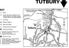
Tutbury Town Centre Map
358 miles away
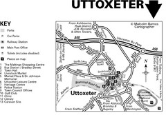
Uttoxeter Town Centre Map
359 miles away
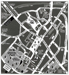
Loughborough Town Centre Map
359 miles away
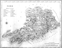
Cork County Map
Map of County Cork from 1800
359 miles away

Pau - SW quadrant Map
360 miles away

Pau - centre Map
360 miles away
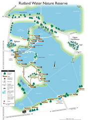
Map of Rudlin Nature Reserve
Full-color map of Rudlin Water Nature Reserve that includes the locations off all Footpaths...
360 miles away
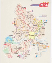
Peterborough Stage Coach Citi Bus Map
363 miles away
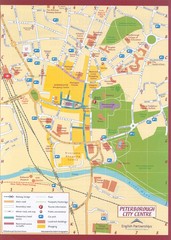
Peterborough City Center Map
City map of central Peterborough, England
364 miles away
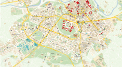
Street Map of Pamplona, Spain
Street map of Pamplona Spain, home of the Fiesta de San FermÃn held every July 6-14
367 miles away
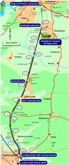
Nottingham Transport Map
A map showing train stations in Loughborough to Nottingham. Includes surrounding roads, towns...
367 miles away
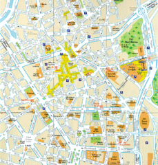
Lille Center Map
Street map of Lille city center
368 miles away
Delaine Bus Route Map
Map of bus routes throughout from Borne to Peterborough
369 miles away

Co. Kerry Map
369 miles away
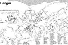
Bangor University Map
Map with numbered index to buildings on the campus of Bangor University in the United Kingdom.
371 miles away
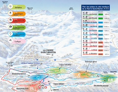
Arette-La Pierre St. Martin Ski Trail Map
Trail map from Arette-La Pierre St. Martin.
371 miles away
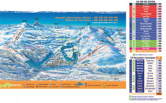
Arette-La Pierre St. Martin Ski Trail Map
Trail map from Arette-La Pierre St. Martin.
371 miles away
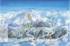
Super Lioran Ski Trail Map
Trail map from Super Lioran.
372 miles away
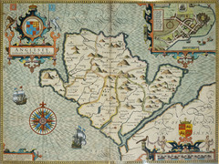
Anglesey Map
374 miles away
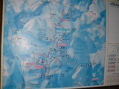
Station du Haut-Folin ? Nordic Ski Trail Map
Trail map from Station du Haut-Folin, which provides nordic skiing. This ski area has its own...
377 miles away
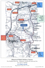
Central England Tourist Map
The area around Nottingham
377 miles away

DTb Master Diagram (early draft) Map
DUKERIES THINKBELT: MASTER DIAGRAM All elements and key
380 miles away
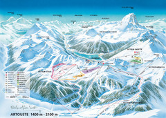
Artouste Ski Trail Map
Trail map from Artouste.
384 miles away
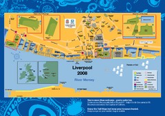
The Tall Ships Race in Liverpool Map
384 miles away
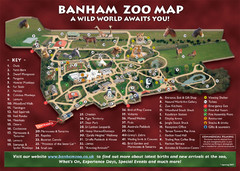
Banham Zoo Map
385 miles away
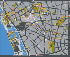
Liverpool Tourist Map
Tourist map of central Liverpool, England, UK. Shows points of interest.
385 miles away
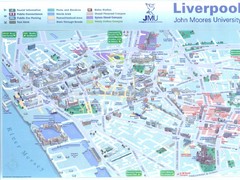
John Moores University Map
Campus map of John Moores University, Liverpool, UK
385 miles away
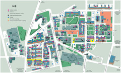
University of Liverpool Map
Campus Map
385 miles away
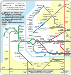
Liverpool Subway Map
Guide to Liverpool Merseyrail lines and stations
385 miles away
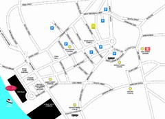
Merseytravel Headquarters Location Map
385 miles away
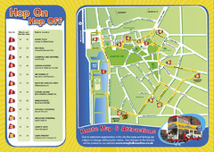
Liverpool Bus Tour Map
385 miles away
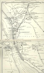
Liverpool Railway Map
Guide to historic rail lines around Liverpool
386 miles away

Areas Surrounding Bakewell, UK Map
Cities and areas around Bakewell, United Kingdom
386 miles away
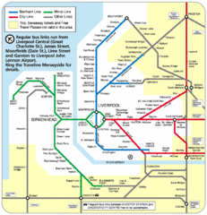
Merseyside Tube Map
388 miles away
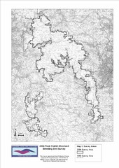
Bird Survey Map
Map of survey areas in the Peak District Moorland. Shows survey areas of 1990 and 2004.
389 miles away
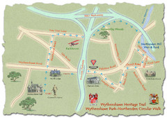
Wythenshawe Heritage Trail map
Northenden Circular Walk trail at Wythenshawe Park.
389 miles away
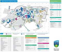
UCD Dublin Map
Belfield Campus map
389 miles away

