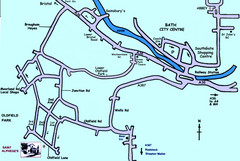
Bath City, England Map
Map from the centre of Bath, visitor information and streets.
253 miles away
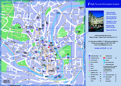
Bath City Map
253 miles away
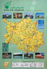
Charente Region Tourist Map
Tourist map of Charente region in southern France. Scanned.
253 miles away
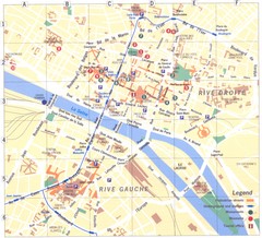
Rouen Map
253 miles away
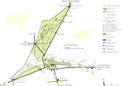
Chateau Chambord Estate Map
Estate map of the famous Chateau Chambord. Largest Chateau in the Loire River Valley.
253 miles away
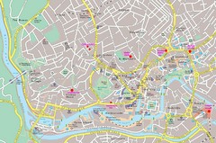
Bristol Centre Map
254 miles away
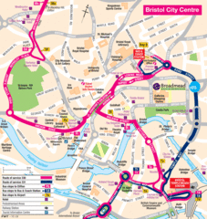
Bristol Hotel Map
255 miles away

Bristol, England Tree Map
255 miles away
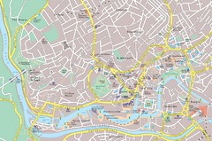
Central Bristol Tourist Map
Neighborhoods, landmarks and streets in Bristol, England
255 miles away
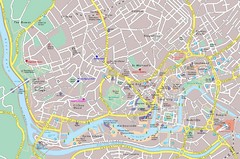
Bristol Tourist Map
Tourist map of central Bristol, England.
255 miles away
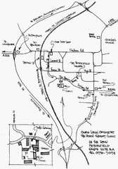
Petersfield, London Map
255 miles away
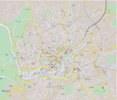
Bristol City Map
Overview map of city of Bristol. Zooms with details available on original website.
255 miles away
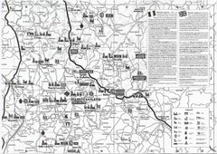
Villebois-Lavalette Tourist Map
Tourist map of Villebois-Lavalette, France and surrounding region. Shows points of interest. In...
259 miles away
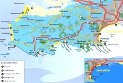
Swansea Area Tourist Map
259 miles away
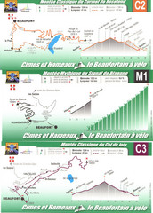
Beaufort Cycling Route Map
Three routes drawn and elevation gains shown for each cycling route in Beaufort, France's...
261 miles away
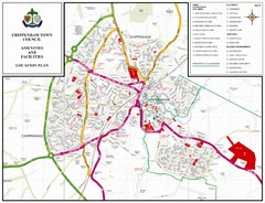
Chippenham Town Map
261 miles away
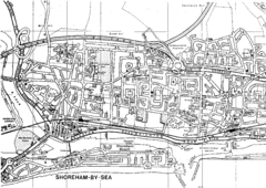
Shoreham-by-Sea, England City Map
262 miles away
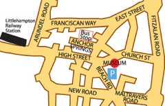
Museums in West Sussex, England Map
262 miles away
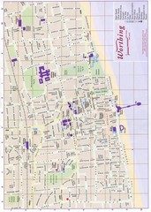
West Sussex, England Map
262 miles away
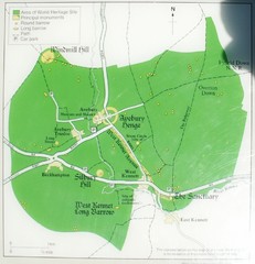
Avebury World Heritage Site Map
Map of Avebury, England showing World Heritage Site and surroundings. From photo.
263 miles away
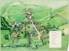
Avebury Tourist Map
Tourist map of Avebury, England. Shows Avebury Henge. From photo.
263 miles away
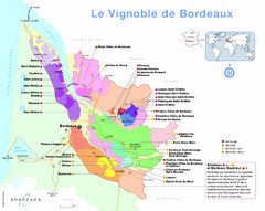
AOC Bordeaux Map
Appellations de Bordeaux (2009)
263 miles away

Bordeaux city Map
264 miles away

Bordeaux Map
264 miles away
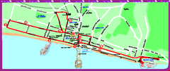
Brighton bus tour map
Brighton bus tour map - City Sightseeing
266 miles away
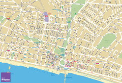
Brighton Tourist Map
Street map of Brighton, UK. Shows gay points of interest.
266 miles away
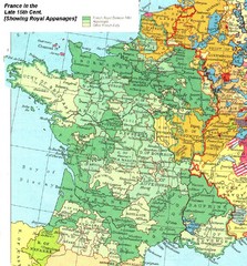
France Late 15th Century Map
France in the Late 15th Century (showing Royal Appanages)
268 miles away
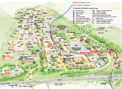
University of Sussex Campus Map
269 miles away
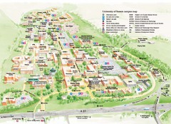
University of Sussex Campus Map
Official campus map of University of Sussex. Shows campus buildings and points of interest.
269 miles away
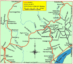
Monmouth and Wye Valley Railways Map
Map showing the 3 major railway lines and the cities with stops of Monmouth, UK.
272 miles away
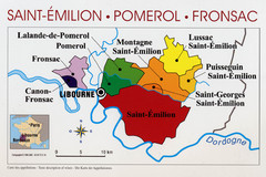
Libournais Region Wine District Map
Shows wine districts of the Libournais region near Libourne, France
273 miles away

Saint Emilion Map
273 miles away
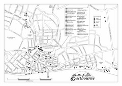
Eastbourne England Tourist Map
Central Eastbourne, England street level tourist map showing tourist sites, parks and city...
275 miles away
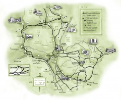
Abergavenny Cycle Map
Shows suggested easy cycling routes, other roads, steeper climbs, parking, public houses, shops...
276 miles away
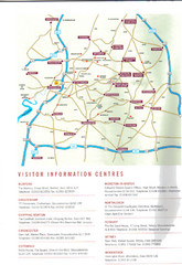
Cotswold England Tourist Map
The Cotswolds are situated in the Heart of England less than 2 Hours Drive from London. Map shows...
280 miles away
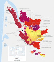
Bordeaux Region Wine Districts Map
Wine map of districts in the Bordeaux region of France. In French.
280 miles away
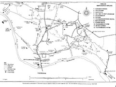
Whitchurch on Thames Walking Map
Guide to 12 walks around Whitchurch on Thames, UK
280 miles away
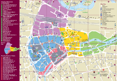
Reading Tourist Map
Tourist map of city center of Reading, England. Shows attractions and other tourist points of...
281 miles away

