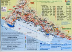
Cingue Terre-map Map
560 miles away

Thanet Isle Map
1809 Guide to Thanet Isle in Britain
560 miles away
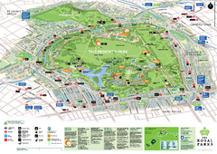
Regent's Park Map
Birds-eye view of the Regent's Park in London
560 miles away
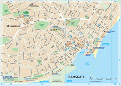
Ramsgate Tourist Map
Near Kent, England
561 miles away
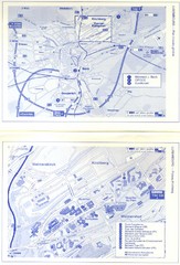
Kirchberg Map
Map of Kirchberg, Luxembourg. In French. Scanned.
561 miles away
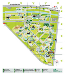
London Zoo Map
561 miles away
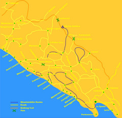
Cinque Terre Mountain Biking Trail Map
Mountain biking trail map of routes near Levanto and the Cinque Terre, Italy. Shows trails, roads...
561 miles away
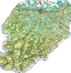
Piacenza Province Map
Physical map of Piacenza Province, Italy
561 miles away
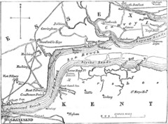
River Thames Map
Map of Thames from Gravesend to Canvey Island
561 miles away
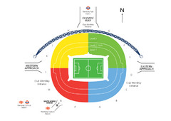
UK Wembley Stadium Map
562 miles away
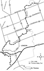
Thames Valley Trail Map
562 miles away
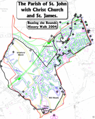
The Parish of St. John's with Christ Church...
A rough history of the Stratford, England and a continuation of the age old tradition of "...
562 miles away
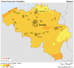
Solar Radiation Map of Belgium
Solar Radiation Map Based on high resolution Solar Radiation Database: SolarGIS. On the Solar Map...
562 miles away

Broadstairs Tourist Map
562 miles away
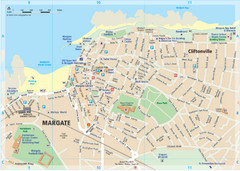
Margate TouristMap Map
563 miles away
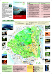
Monte Barro Map
563 miles away
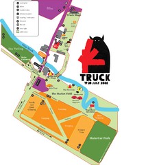
Steventon, South Oxfordshire Tourist Map
563 miles away
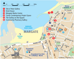
Margate Tourist Map
Tourist map of Margate, England.
564 miles away
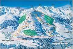
Brigels Ski Trail Map
Trail map from Brigels.
565 miles away
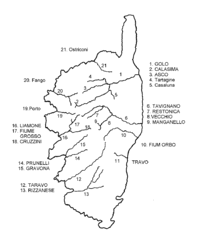
Corsica River Map
566 miles away
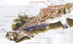
Bonifacio Tourist Map
Tourist map of Bonifacio, Corsica
566 miles away
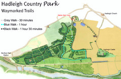
Hadleigh Country Park Map
3 walks, each color coded according to the estimated time it would take to complete each trek...
567 miles away
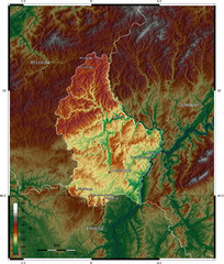
Luxembourg topo Map
567 miles away
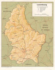
Luxembourg Map
Map of the mountains, cities and roadways of Luxembourg.
567 miles away
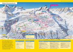
Braunwald Ski Trail Map
Trail map from Braunwald.
567 miles away
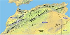
North Africa Mountain Ranges Map
Map of the mountain ranges of Northern Africa
567 miles away
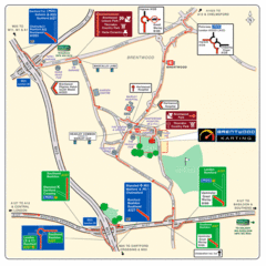
Brentwood, Essex Map
567 miles away
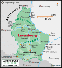
Luxembourg Map
568 miles away
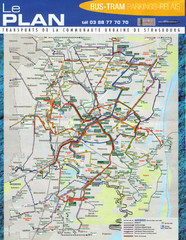
Strasbourg Bus and Tram Map
569 miles away
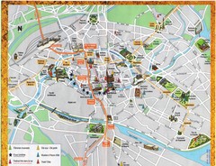
Strassburg Tourist Map
Tourist map of central Strassburg, France. Shows streets, trams, and major buildings. Scanned.
569 miles away
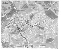
Strasbourg Map
Shows bus and tram itineraries to the Brethren Colleges Abroad office from the train station and...
569 miles away
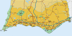
Praia da Luz, Portugal Map
569 miles away

Strasbourg Map
569 miles away
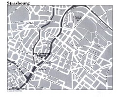
Strasbourg City Map
City map of part of Strasbourg, France. Shows US Consulate.
569 miles away
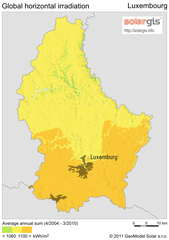
Solar Radiation Map of Luxembourg
Solar Radiation Map Based on high resolution Solar Radiation Database: SolarGIS. On the Solar Map...
570 miles away
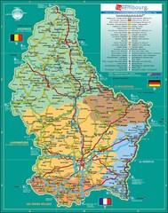
Luxembourg Tourism Map
Tourist Map of Luxembourg showing major roads, railways, and tourist attractions.
570 miles away
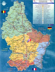
Luxembourg Tourist Map
Tourist map of the country of Luxembourg. Shows points of interest and activity icons. In French...
570 miles away
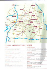
Cotswold England Tourist Map
The Cotswolds are situated in the Heart of England less than 2 Hours Drive from London. Map shows...
570 miles away
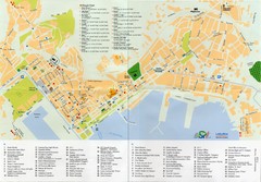
Spezia Map
570 miles away

La Spezia Ferry Map
570 miles away

