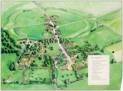
Avebury Tourist Map
Tourist map of Avebury, England. Shows Avebury Henge. From photo.
550 miles away
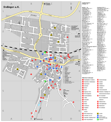
Endingen Tourist Map
Tourist street map of Endingen center
550 miles away
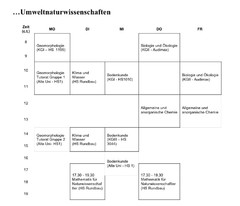
Test Map
551 miles away
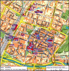
Frieburg Tourist Map
551 miles away
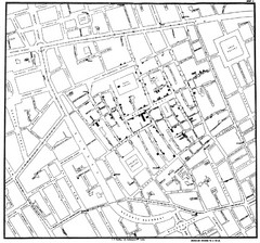
Cholera Outbreak of London Map
Map used to analyze the cholera outbreak in London, specifically South Hampton in 1853
552 miles away
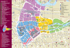
Reading Tourist Map
Tourist map of city center of Reading, England. Shows attractions and other tourist points of...
552 miles away
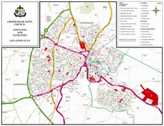
Chippenham Town Map
553 miles away
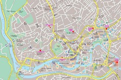
Bristol Centre Map
553 miles away
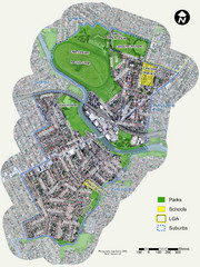
Canterbury Map
Map of parks, main streets, etc.
553 miles away
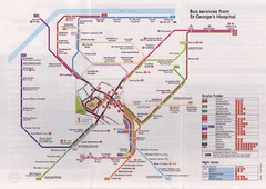
St. Georges Hospital Bus Services Map
553 miles away
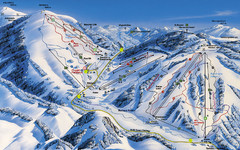
Feldberg Ski Trail Map
Trail map from Feldberg.
553 miles away
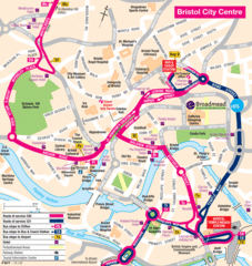
Bristol Hotel Map
554 miles away

Bristol, England Tree Map
554 miles away
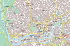
Central Bristol Tourist Map
Neighborhoods, landmarks and streets in Bristol, England
554 miles away
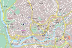
Bristol Tourist Map
Tourist map of central Bristol, England.
554 miles away
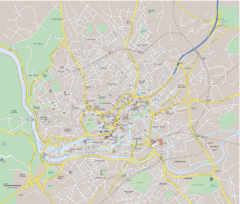
Bristol City Map
Overview map of city of Bristol. Zooms with details available on original website.
554 miles away
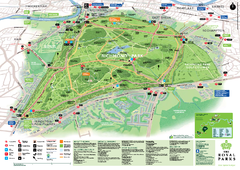
Richmond Park Map
554 miles away
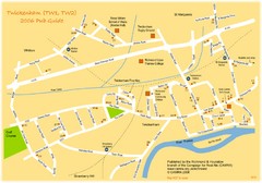
Twickenham Pub Guide Map
Map of TW1 & TW2 area
554 miles away
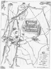
Twyford Parish Map
Footpaths and bridleways map of Twyford Parish
554 miles away
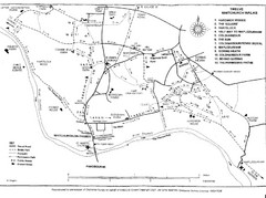
Whitchurch on Thames Walking Map
Guide to 12 walks around Whitchurch on Thames, UK
554 miles away
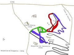
Ghisoni Ski Trail Map
Trail map from Ghisoni.
555 miles away
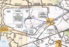
Heathrow Airport Transportation Map
555 miles away
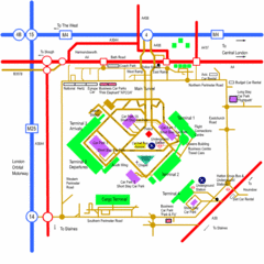
Heathrow Airport Map
555 miles away

River Thames Map
River Thames Map, illustrated by Katherine Baxter for the Runnymede-on-Thames Hotel as a 8 metre...
555 miles away
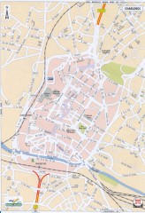
Charleroi Street Map
Street map of Charleroi, Belgium. Major buildings labeled.
556 miles away
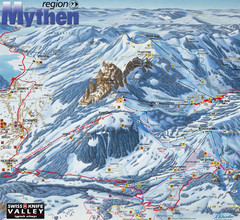
Brunni-Alpthal Ski Trail Map
Trail map from Brunni-Alpthal.
557 miles away
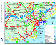
Cardiff Region Tourist Map
Regional tourist map of area surrounding Cardiff, UK. Shows all attractions.
557 miles away
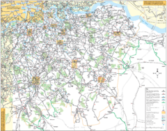
Southeast London Bus Map
557 miles away
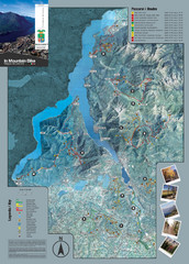
Lake Como Mountain Biking Trail Map
Trail map of mountain biking routes around Lake Como, Italy.
557 miles away
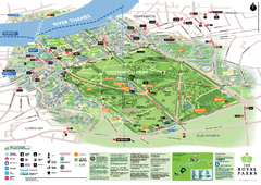
Greenwich Park Map
558 miles away
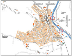
Henley-on-thames Map
Visitor Map of Henley-on-thames. Map shows location of most main roads, buildings, and parking.
558 miles away
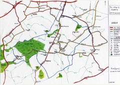
Hoath Town Map
Handwritten map of town of Hoath, England near Canterbury.
558 miles away
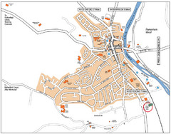
Henley-on-Thames Map
558 miles away
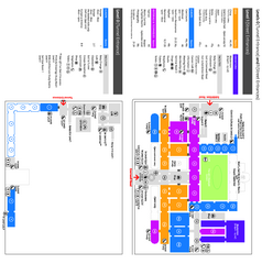
The Victoria & Albert Museum Floor plan Map
Map of The Victoria & Albert Museum in London. Shows entrances and exhibits.
558 miles away
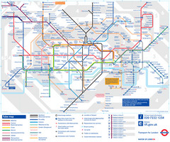
London Tube Map
558 miles away

Alsace - Bas Rhin Map
558 miles away
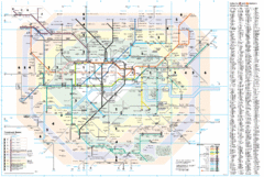
London Underground Map
558 miles away
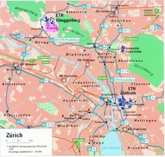
Zurich City Map
City map of Zurich with university highlighted
558 miles away

