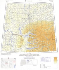
Norlisk Region Topo Map
Topo map of city of Norlisk, Russia in Siberia. Created by U.S. Army
0 miles away
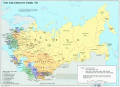
Soviet Union 1981 Map
Map of the Soviet Union in 1981
679 miles away
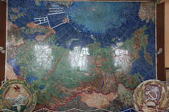
Stone map of USSR
Stone map of USSR made of 45 000 stones in 1936
725 miles away
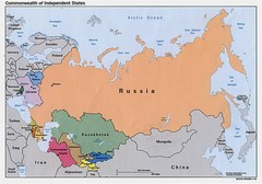
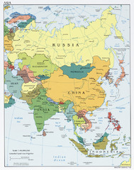
Russia, Northern China and Northern Asia Map
725 miles away
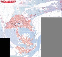
Hanty-Mansiysk Map
796 miles away
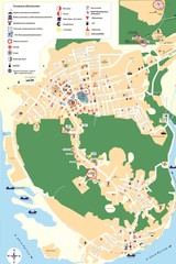
Hanty-Mansiysk Map
796 miles away
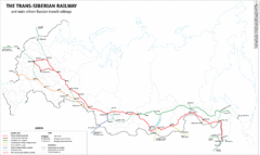
Trans-Siberian Railway Map
Shows the route of the Trans-Siberian Railway and other major Russian railways
932 miles away

Krasnoyarsk City Map
City map of Krasnoyarsk, Russia. Some bus stops and hotels highlighted.
933 miles away
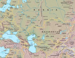
Russia Map
964 miles away
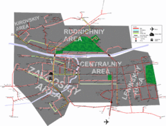
Kemerovo Transport Map
Map of Public Transport routes in Kemerovo, Russia. Shows bus, trolley, tram, and taxi routes.
968 miles away

Novosibirsk Tourist Map
1002 miles away
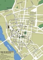
Novosibirsk City Map
Streets, roads and some points of interest are marked on this map.
1002 miles away
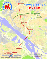
Novosibirsk Metro Map
The metro lines in Novosibirsk are marked on this detailed map.
1004 miles away
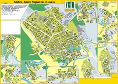
Ukhta Russia Street Map
Street map of Ukhta, Komi Republic, Russia. Shows outlines of all buildings. Insets show other...
1017 miles away
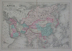
Asia in the 1890s Map
1033 miles away
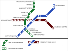
Yekaterinburg Metro Map
Clear map of Yekaterinburg's metro lines.
1203 miles away
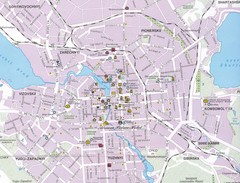
Yekaterinburg City Map
Large and detailed map marking roads and points of interest.
1203 miles away
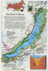
Lake Biakal Map
From National Geographic Magazine
1250 miles away
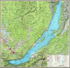
Lake Baikal Map
Map of Lake Baikal in Eastern Siberia. Lake Baikal is the world's largest freshwater lake in...
1257 miles away
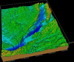
Lake Biakal Topography Map
1269 miles away
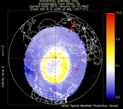
Aurora Borealis in Real Time Map
Aurora Borealis as seen by satellite superimposed on the northern hemisphere of the globe.
1277 miles away
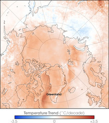
Arctic Temperature Change: 1987 -- 2007 Map
1277 miles away
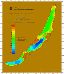
Lake Biakal Water Depth Map
Deepest lake in the world at 5369 ft.
1278 miles away
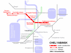
Chelyabinsk Metro Map
Detailed map and key for Chelyabinsk's metro system.
1285 miles away
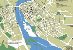
Irkutsk City Map
Simple map and legend of this small city.
1289 miles away
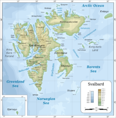
Svalbard islands topo Map
1341 miles away
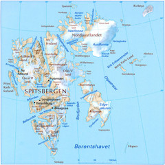
Svalbard Physical Map
Physical map of Svalbard, Norway. The northernmost part of the kingdom of Norway. Shows ice...
1344 miles away
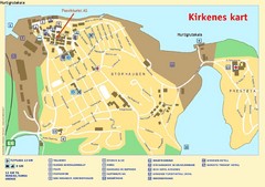
Kirkenes City Map
City map of Kirkenes with tourist information and hotels
1354 miles away
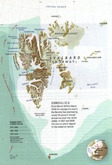
Svalbard's Ebbing Ice Map
1374 miles away
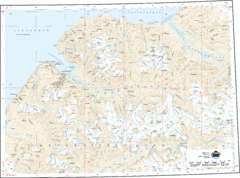
Longyearbyen Area Topo Map
Topo map of area around Longyearbyen, Svalbard Islands
1401 miles away
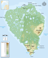
Bear Island Bjørnøya Norway Map
Elevation map of Bear Island, Norway (Bjørnøya) in the Barents Sea, the southernmost...
1436 miles away
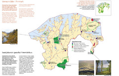
Finnmark Nature Parks and Reserves Map
National parks and nature reserves of Norwegian county of Finnmark. From wikipedia: "In the...
1439 miles away
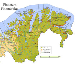
Finnmark County Map
Elevation map of Finnmark County, Norway. Color shading shows meters above sea level and national...
1440 miles away
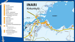
Inari Tourist Map
Tourist map of Inari, Finland. Shows hotels.
1446 miles away
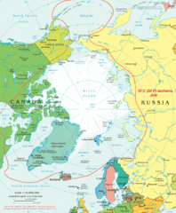
Arctic Map
Top view of all areas included in the Arctic
1458 miles away
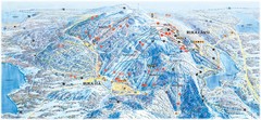
Ruka Ski Trail Map
Ski trail map of Ruka, Finland
1500 miles away
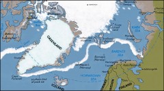
Arctic Ocean Map
Map of the Arctic Ocean. Shows the Arctic Circle
1506 miles away

