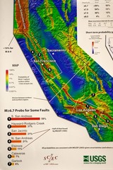
California Faults and Earthquake Probablity...
The Uniform California Earthquake Rupture Forecast map hangs at a press conference where...
136 miles away

Mi-Wok OHV Trail Map
Trail Maps for Off Road Bikes in Stanislaus National Forest
137 miles away
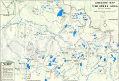
Fish Creek Area Anglers' Map
Hand-drawn fishing map of lakes, peaks, and trails in the Fish Creek Area of the John Muir...
137 miles away

Mount Whitney Route Map
137 miles away
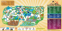
Six Flags Discovery Kingdom Park Map
Six Flags Discovery Kingdom theme park (formerly Marine World) in Vallejo, California. Experience...
137 miles away
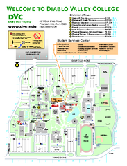
Diablo Valley College Map
138 miles away
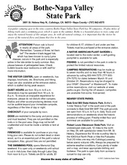
Bothe-Napa Valley State Park Map
Map of park with detail of of trails and recreation zones
139 miles away
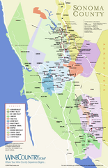
Sonoma Country Wine Map
Wine map of Sonoma, California area. Shows all vineyards.
139 miles away
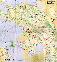
Shell Ridge Open Space Trail Map
Trail map of Shell Ridge Open Space, Walnut Creek's largest open space unit, with trails for...
139 miles away
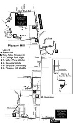
Pleasant Hill, CA Map
139 miles away
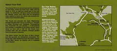
John Muir National Histroric Site Map
139 miles away
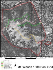
Mt. Wanda Aerial Trail Map
Trail map of Mt. Wanda area in the John Muir National Historic Site.
139 miles away
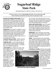
Sugarloaf Ridge State Park Campground Map
Map of park with detail of trails and recreation zones
140 miles away
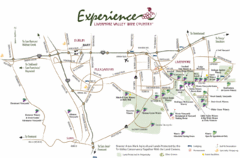
Livermore Valley Wine Map
Map showing the wineries in the Livermore Valley of California.
140 miles away
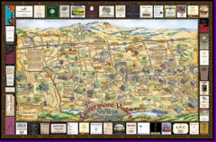
Livermore Winery Tour Map
Livermore Valley Wine Map & Visitors Guide - A great source for information about the Livermore...
140 miles away
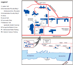
Touro University Map
Campus map of Touro University's Mare Island Campus.
141 miles away
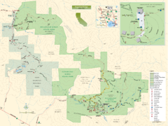
Sugarloaf Ridge State Park Map
Trail map of Sugarloaf Ridge State Park
141 miles away
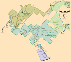
Hood Mountain Regional Park Map and Sugarloaf...
Park map of Hood Mountain Regional Park and Open Space Preserve and Sugarloaf Ridge State Park in...
141 miles away
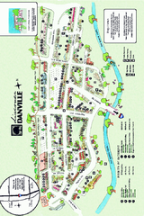
Walking Map of Downtown Danville, California
Tourist walking map of downtown Danville, California. Shows restaurants, shops, visitor's...
141 miles away
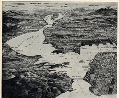
1936 San Francisco Bay Area Map Part 1
Guide to the San Francisco Bay Area in 1936, hand drawing over photograph
141 miles away
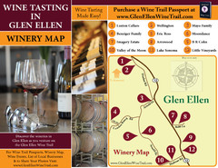
Glen Ellen Wine Tasting Map
142 miles away
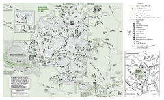
Briones Regional Park Trail Map
Trail map of Briones Regional Park in East Bay.
142 miles away
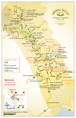
Sonoma Valley Winery Map
High quality map of Sonoma Valley wineries from the vinters and growers. Shows all key roads and...
142 miles away
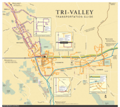
Tri Valley Transportation and Road Map
The Tri Valley cities roads and routes.
142 miles away
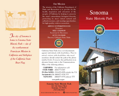
Sonoma State Historic Park Map
Map of park with detail of trails and recreation zones
142 miles away
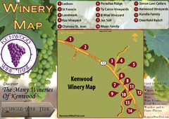
Kenwood Wine Tasting Map
143 miles away
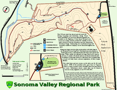
Sonoma Valley Regional Park Map
Trail map of 202 acre Sonoma Valley Regional Park.
143 miles away
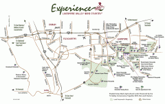
Livermore Valley Wineries, California Map
Map of wineries in Livermore Valley, California. Shows wineries, olive groves, and preserved land.
143 miles away
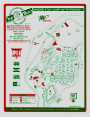
Jellystone Park at Glebrook Resort & Spa Map
144 miles away
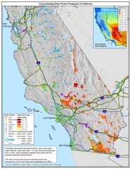
Concentrating Solar Power Prospects California Map
Shows power plants, concentrating solar resources, and transmission lines for all of California...
144 miles away
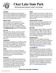
Clear Lake State Park Campground Map
Map of park with detail of trails and recreation zones
145 miles away
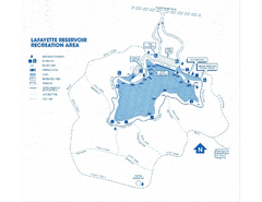
Lafayette Reservoir Recreation Area Map
145 miles away
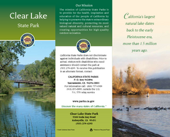
Clear Lake State Park Map
Map of park with detail of trails and recreation zones
145 miles away
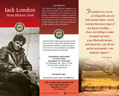
Jack London State Historic Park Map
Map of park with detail of trails and recreation zones
145 miles away
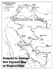
Grizzly Peak Century North Loop Route Map
Road bike route map of the north loop in the Grizzly Peak Century Ride. From site: "The...
145 miles away
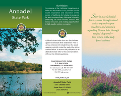
Annadel State Park Map
Map of park with detail of trails and recreation zones
146 miles away
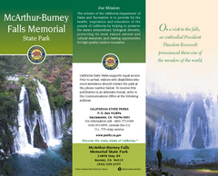
McArthur-Burney Falls Memorial State Park Map
Map of park with detail of trails and recreation zones
146 miles away
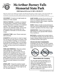
McArthur-Burney Falls Memorial State Park...
Map of park with detail of trails and recreation zones
146 miles away

California Counties Map
146 miles away
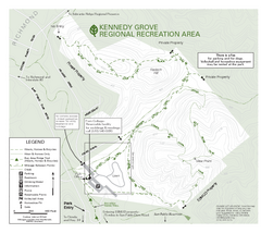
Kennedy Grove Recreation Area Trail Map
222-acre park
146 miles away

