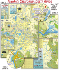
California Delta Maps Map
The "BEST" California Delta Boating, Navigation & Visitors Maps. Printed on Rip-Proof...
114 miles away
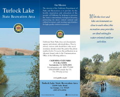
Turlock Lake State Recreation Area Map
Map of recreation area with detail of trails and recreation zones
115 miles away

Turlock Lake State Recreation Area Campground Map
Map of campground region of recreation area with detail of trails and recreation zones
115 miles away

Burning Map 2005 Map
Artistic representation of Burning Man's Black Rock City.
115 miles away
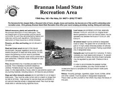
Brannan Island Campground Map
Map of park with detail of trails and recreation zones
115 miles away
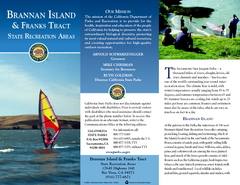
Brannan Island & Franks Tract State...
Map of park with detail of trails and recreation zones
115 miles away
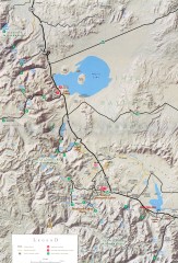
Eastern Sierra Trailhead Map - Lee Vining and...
Shows ranger stations and major trailheads in the eastern Sierra Nevada in the Mono Lake and...
116 miles away
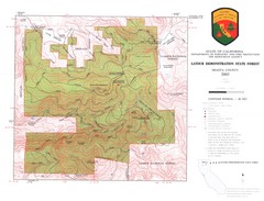
Latour State Forest Map
Countour map of the Latour Demonstration Forest.
117 miles away
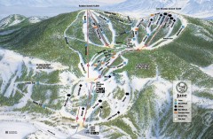
June Mountain Ski Trail Map
Official ski trail map of June Mountain ski area from the 2007-2008 season.
119 miles away
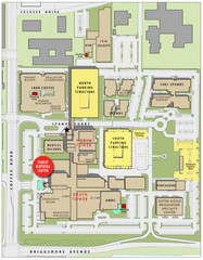
Memorial Medical Center Map
119 miles away
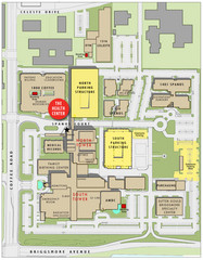
Memorial Medical Center Map
119 miles away
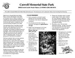
Caswell Memorial State Park Campground Map
Map of park with detail of trails and recreation zones
120 miles away

Greater Lake Berryessa Region Tourist Map
Tourist map of the Lake Berryessa region in Napa, California
122 miles away
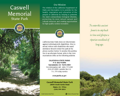
Caswell Memorial State Park Map
Map of park with detail of trails and recreation zones
122 miles away

Lake Berryessa Map
Lake Berryessa Recreational Map, Napa County, California
123 miles away

Lake Berryessa Recreation Map
Lake Berryessa Recreational Map, Napa County, California
123 miles away
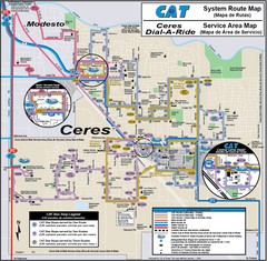
Ceres, CA Transportation Map
123 miles away
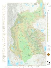
Sacramento River Watershed Map
The map shows, rivers, cities, counties, and roads surrounding the Sacramento River.
125 miles away

Relative Motion of Pacific and North American...
Diagram illustrating the plate-tectonic setting of southern California (image source: USGS general...
126 miles away
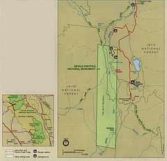
Devil's Postpile National Monument Map
126 miles away

Mammoth Mountain Ski Trail Map
Trail map from Mammoth Mountain, which provides downhill, nordic, and terrain park skiing. It has...
127 miles away
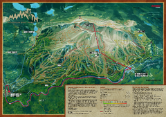
Mammoth Mountain Bike Park Map
Shows all trails at the Mammoth Mountain Bike Park.
127 miles away
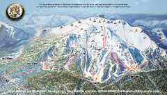
Mammoth Mountain Ski Trail map 2005
Official ski trail map of Mammoth Mountain ski area from the 2005-2006 season.
127 miles away

Mammoth Mountain Downhill Skiing Trails Map
Downhill skiing trails on Mammoth Mountain, near Mammoth Lakes, California. Shows trails and their...
128 miles away
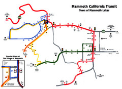
Mammoth Transit Map
Map of Mammoth transit system
128 miles away
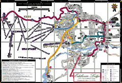
Mammoth Town Map
Map of Mammoth, including shuttle lines
128 miles away
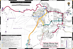
Mammoth Town Map
Town of Mammoth Lakes with shuttle lines included
129 miles away
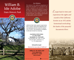
William B. Ide Adobe State Historic Park Map
Map of park with detail of trails and recreation zones
129 miles away
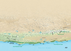
California Redwood Range Map
NPS prospective map of the coastal redwoord range in California, extending from Santa Cruz north to...
131 miles away
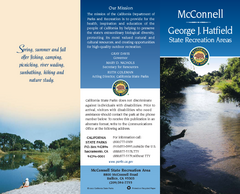
McConnell State Recreation Area Map
Map of park with detail of trails and recreation zones
131 miles away
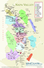
Napa Valley Wine Map
Wine map of Napa Valley, Napa, California. Shows all vineyards and shading by appellations from...
131 miles away
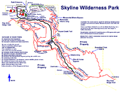
Skyline Wilderness Park Map
Trail map of Skyline Wilderness Park in Napa, California
133 miles away

Pacific Crest Trail Map
Shows entire route of 2,650 mile Pacific Crest Trail from Mexico to Canada.
133 miles away
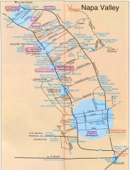
Napa Valley Tourist map
Tourist map of Napa Valley in California, showing wineries and museums in the area.
135 miles away
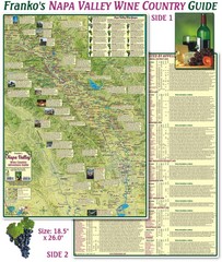
Napa Valley Wine Country Guide Map
Map of the Napa Valley Wine Country. With over 250 local Wineries listed. Printed on waterproof...
135 miles away
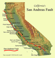
San Andreas Fault, California Map
135 miles away
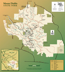
Mt. Diablo State Park Map
Trail map of Mt. Diablo State Park near Walnut Creek, CA
136 miles away
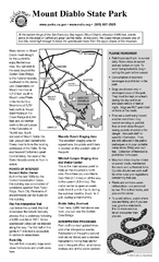
Mount Diablo State Park Campground Map
Map of park with detail of trails and recreation zones
136 miles away
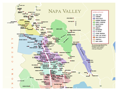
Napa County Wineries, California Map
Map of wineries in Napa County, California. Shows wineries and appellations.
136 miles away


