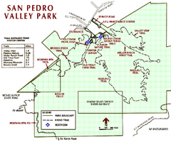
San Pedro Valley Park Map
Park map of San Pedro Valley County Park in San Mateo County, California.
172 miles away
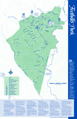
Palo Alto Foothills Park Map
Trail map of Palo Alto Foothills Park. 1400 acres and 15 miles of trails.
173 miles away
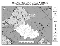
Teague Hill Open Space Preserve Map
Trail map of Teague Hill Open Space Preserve near Woodside, California. Only one trail enters a...
173 miles away
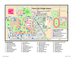
Fresno City College Campus Map
Fresno City College Campus Map. Shows all areas.
173 miles away
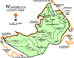
Wunderlich County Park Map
Trail map of Wunderlich County Park near Woodside, California. "The Alambique Trail offers a...
173 miles away
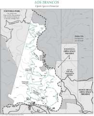
Los Trancos Open Space Preserve Map
Trail map of Los Trancos Open Space Preserve. Shows 274 acres, 5.2 miles of trails.
173 miles away
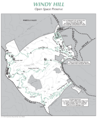
Windy Hill Open Space Preserve Map
Trail map of Windy Hill Open Space Preserve. 1312 acres and 12.2 miles of trails
174 miles away
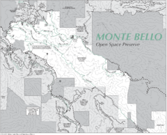
Monte Bello Open Space Preserve Map
Trail map of Monte Bello Open Space Preserve. Covers 3,142 acres and 15.5 miles of trails
174 miles away
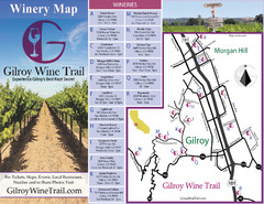
Gilroy Wine Tasting Map
174 miles away
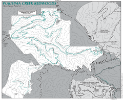
Purisima Open Space Preserve Map
Trail map of Purisima Open Space Preserve. Shows all mountain biking, hiking, and horseback riding...
174 miles away
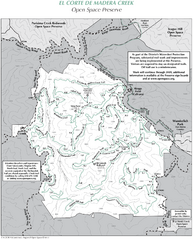
El Corte de Madera Open Space Preserve Map
Trail map of El Corte de Madera Open Space Preserve. Shows all mountain biking, hiking, and...
175 miles away
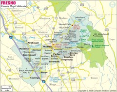
Fresno, California City Map
175 miles away
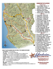
Mendocino Beer and Wine Tasting Map
Beer and wine tasting map of Mendocino county, California. Show breweries and wineries on the...
175 miles away
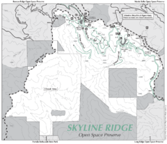
Skyline Ridge Open Space Preserve Map
Trail map of Skyline Ridge Open Space Preserve. Covers 2143 acres and 10.9 miles of trails
175 miles away
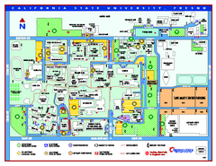
California State University - Fresno Map
California State University - Fresno Campus Map. All areas shown.
175 miles away
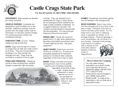
Castle Crags State Park Map
Map of park with detail of trails and recreation zones
175 miles away
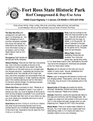
Fort Ross State Historic Park Campground Map
Map of park with detail of trails and recreation zones
175 miles away
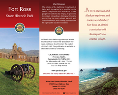
Fort Ross State Historic Park Map
Map of park with detail of trails and recreation zones
175 miles away
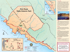
Fort Ross State Historic Park Map
Map of park with detail of trails and recreation zones
175 miles away
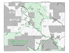
Long Ridge Open Space Preserve Map
176 miles away
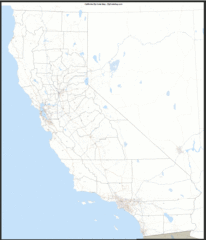
California Zip Code Map
Check out this Zip code map and every other state and county zip code map zipcodeguy.com.
176 miles away
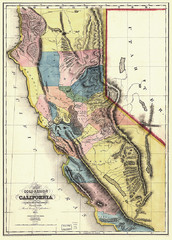
1851 California Regional Map
Great quality map of Californian regions in 1851.
176 miles away
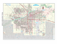
Bakersfield, California City Map
176 miles away
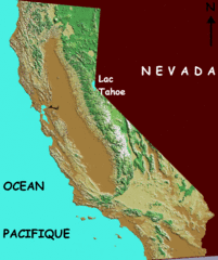
California elevation Map
California map showing elevations by contours, with Lake Tahoe identified.
176 miles away
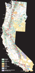
Pacific Crest Trail Route Overview Map
Western United States Map showing National Forests, State Parks, National Parks, Indian...
176 miles away
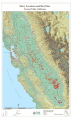
Dairy Locations and Herd Size for the Central...
Map of dairy locations, displayed by herd size in California's Central Valley. Base map...
176 miles away
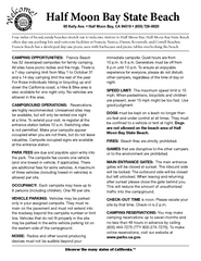
Half Moon Bay State Beach Campground Map
Map of beach with detail of trails and recreation zones
176 miles away
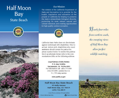
Half Moon Bay State Beach Map
Map of beach with detail of trails and recreation zones
176 miles away
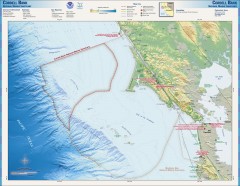
Cordell Bank National Marine Sanctuary Map
Topo and bathymetric map of the Cordell Bank National Marine Sanctuary, located 60 miles northwest...
176 miles away
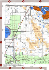
Modoc National Forest Map
Forest Visitor Map of the western most part of Modoc National Park. Includes county boundaries...
176 miles away
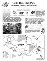
Castle Rock State Park Map
Map of park with detail of trails and recreation zones
177 miles away
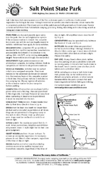
Salt Point State Park Campground Map
Map of campground region of park with detail of trails and recreation zones
178 miles away
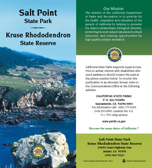
Salt Point State Park Map
Map of park with detail of trails and recreation zones
178 miles away
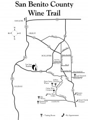
San Benito County Wine Trail Map
Wineries in the San Benito County, California area.
178 miles away
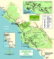
Salt Point State Park Map
Topo park map of Salt Point State Park and Kruse Rhododendron State Reserve. Shows trails by use...
178 miles away
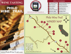
Philo Wine Map
Shows wineries great for wine tasting in the Anderson Valley along Route 128 in Philo California.
178 miles away
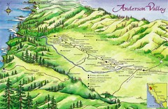
Anderson Valley Wine Map
Shows wineries/vineyards in Anderson Valley, California along Route 128 from Navarro, California to...
178 miles away
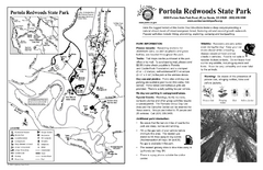
Portola Redwoods State Park Campground Map
Map of campground region of park with detail of trails and recreation zones
179 miles away
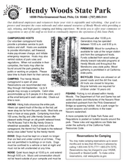
Hendy Woods State Park Campground Map
Map of campground region park with detail of trails and recreation zones
180 miles away

