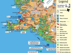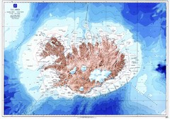
Iceland Physical Map
1975 miles away
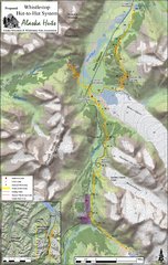
Whistlestop Proposed Hut System Map
Shows proposed huts along the Alaska Railroad’s Backcountry Whistlestop Project in Chugach...
1977 miles away
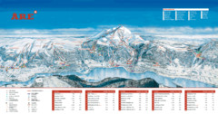
ARE Ski Resort in Sweden Map
Ski run, lifts and mountain elevations for the ARE Ski Resort in Sweden. Note: The map is in...
1977 miles away
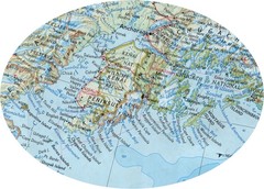
Alaska (Kenai Peninsula Map) Map
1982 miles away
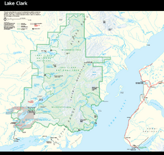
Lake Clark National Park and Preserve Map
Detailed map for Lake Clark National Park and Preserve
1983 miles away
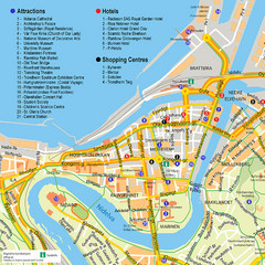
Trondheim Tourist Map
Tourist map of the center of Trondheim, Norway. Shows attractions, hotels, and shopping centers.
1983 miles away
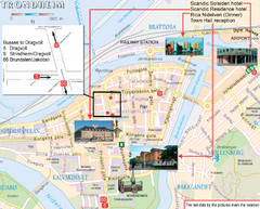
Trondheim, Norway City Map
1983 miles away
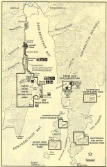
Resurrection Bay Area map
Recreation map for the Resurrection Bay area in Alaska
1985 miles away
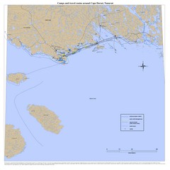
Cape Dorset Map
1992 miles away
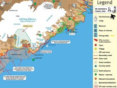
Vatnajökull National Park Map
Home of Iceland's highest mountain 2119m
1994 miles away
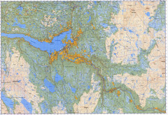
Selbu Norway Area Map
1995 miles away
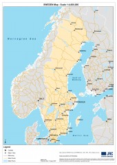
Sweden Map
Map of Sweden showing major cities and roads
2006 miles away
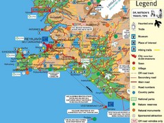
Reykjavik Borgarnes Area Tourist Map
Tourist map of Reykjavik-Borgarnes, Iceland area
2007 miles away
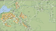
Mosfellsbaer Tourist Map
2009 miles away
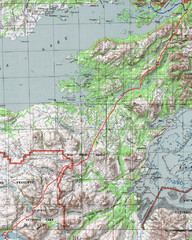
Alaska Peninsula Map
Map with trek route detail
2010 miles away
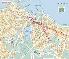
Reykjavik Center Tourist Map
Tourist map of the center of Reykjavik, Iceland. Shows points of interest.
2012 miles away
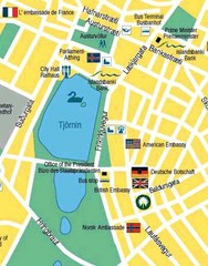
Hijomskalagarour, Iceland Tourist Map
2012 miles away
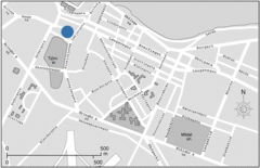
Central Reykjavik, Iceland Tourist Map
2012 miles away
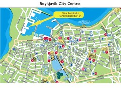
Reykjavik City Centre Tourist Map
2012 miles away
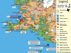
Reykjavik, Iceland Tourist Map
2012 miles away
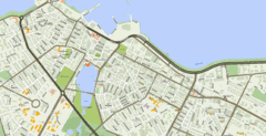
Reykjavik, Iceland Tourist Map
2012 miles away
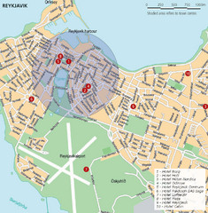
Reykjavik, Iceland Tourist Map
2012 miles away
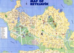
Reykjavik Map
2012 miles away
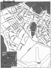
Reykjavik City Map
City map of Reykjavik
2012 miles away
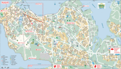
Reykjavik Tourist Map
Tourist map of Reykjavik, Iceland. Shows points of interest.
2012 miles away
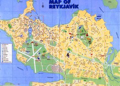
Reykjavik City Map
City map of Reykjavik, Iceland. Scanned, blurry.
2012 miles away
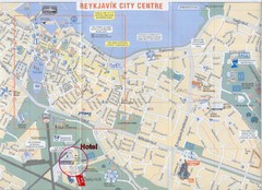
Reykjavik Center Map
2012 miles away
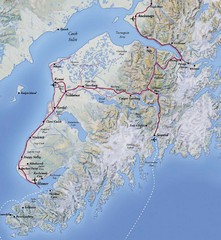
Kenai Peninsula, Alaska Map
2013 miles away
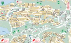
Kópavogur Tourist Map
Tourist map of Kópavogur, Iceland. Shows points of interest.
2014 miles away
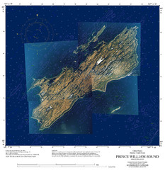
Green Island Map
Map of Green Island in Prince William Sound. Shows soundings in fathoms.
2017 miles away
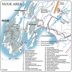
Nuuk Map
Clearly marked map with detailed legend marking facilities and resources.
2025 miles away
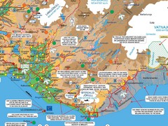
Vik Area Tourist Map
Tourist map of southern portion of Iceland near Vik, Iceland
2026 miles away
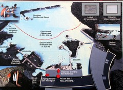
Blue Lagoon Map
2031 miles away

Bláfjöll Ski Trail Map
Trail map from Bláfjöll.
2031 miles away
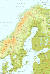
Sweden Physical Map
Map of Sweden and surrounding countries. Shows shaded relief
2035 miles away
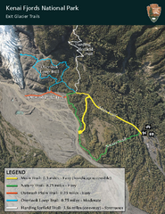
Kenai Fjords National Park Official Trail Map
Official NPS map of Kenai Fjords National Park in Alaska. Only shows hiking trails. Kenai Fjords...
2036 miles away

Iliamna lake Map
Largest lake in Alaska
2037 miles away

Homer, Alaska Map
2043 miles away
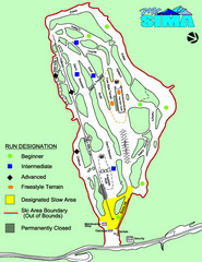
Mount Sima Ski Trail Map
Trail map from Mount Sima, which provides downhill skiing. This ski area has its own website.
2045 miles away

